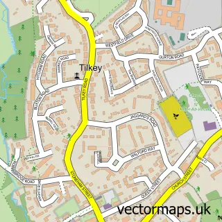
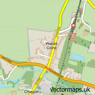
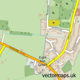
This Great Tey street map is a detailed vector street map covering a 750m x 750m area. Select a larger area to create and download your own vector street map of Great Tey.
The 750-metre map sample for Great Tey covers 180 mapped buildings and approximately 7.1 km of road detail, of which 12 named roads are named. The immediate area includes 1 school, 1 pub and 3 MOT stations within 2 miles. The wider area around Great Tey features 2 food and drink venues. To create a larger or custom map of Great Tey, the map builder lets you define your own coverage area and download editable SVG, PDF and PNG files.
Create a larger editable map of Great Tey
Choose any area you need and generate a high-quality vector map instantly. Perfect for print, planning, design, business and personal use.

This Great Tey street map in Essex is available as downloadable SVG, PDF and PNG map files, or as a printed map for planning, business, display, education, local information and design work. You can also create a larger custom map area using the map selector.
What this Great Tey map sample shows
Great Tey lies within Great Tey Cp parish, part of Rural North ward in the Colchester District (B) local authority area. The postcode geography for this area includes the CO postcode area, the CO6 postcode district and the CO6 1 postcode sector. Residents fall under the Nhs Suffolk And North East Essex Integrated Care Board for NHS services.
Local features near Great Tey
Within 2 milesAmenities and services in and around Great Tey.
Administrative and postcode information for Great Tey
The local authority covering Great Tey is Colchester District (B), within the county of Essex. The settlement lies within Rural North ward and Great Tey Cp civil parish. The CO6 postcode district and CO6 1 postcode sector serve the immediate area. NHS provision in the area is delivered through East Suffolk And North Essex Nhs Foundation Trust.
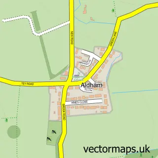
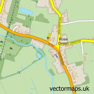
Nearby street map samples around Great Tey

More street maps in Essex
750 metre map area coverage
Boundary, postcode and point of interest information for the 750m x 750m rectangle centred on this sample map.
Boundaries containing map centre
Constituency: Harwich and North Essex Co Const
County: Essex County
District: Colchester District (B)
Icb: NHS Essex ICB
Parish: Great Tey CP
Police Force: essex
Postcode District: CO6
Postcode Sector: CO6 1
Ward: Rural North Ward
Nearby boundaries intersecting sample
No additional intersecting boundaries found.
Postcode coverage
POI category counts
Post Office: 3
Agricultural Service: 1
Alternative Medicine: 1
Anglican Church: 1
Appliance Manufacturer: 1
Automotive Repair: 1
Business: 1
Community Center: 1
Electrician: 1
Elementary School: 1
Sample points of interest
- Tey Farm Systems Ltd
- Inari Homeopathy
- Great Tey: St Barnabas
- Protecnica Solutions
- LDM Automotive Ltd
- Draught Services Ltd
- Great Tey Village Hall
- S2 Electrical
- Great Tey C of E Primary School
- Lion Heating
- SJB Chartered Accountants
- Fairking
Create a larger editable map of Great Tey
This sample shows only a 750 metre area. To create a larger map of Great Tey, use our map builder to choose your own coverage area, add titles and download editable SVG, PDF and PNG files.
Create a custom map of Great Tey