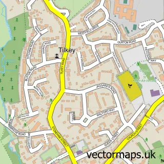
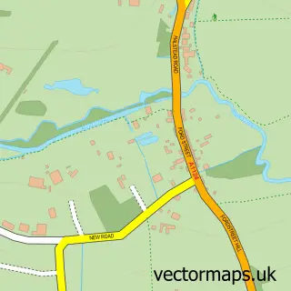
This Copford street map is a detailed vector street map covering a 750m x 750m area. Select a larger area to create and download your own vector street map of Copford.
The 750-metre map sample for Copford covers 360 mapped buildings and approximately 9.6 km of road detail, of which 14 named roads are named. The immediate area includes 2 GP surgeries within 2 miles and 8 MOT stations within 2 miles. To create a larger or custom map of Copford, the map builder lets you define your own coverage area and download editable SVG, PDF and PNG files.
Create a larger editable map of Copford
Choose any area you need and generate a high-quality vector map instantly. Perfect for print, planning, design, business and personal use.

This Copford street map in Essex is available as downloadable SVG, PDF and PNG map files, or as a printed map for planning, business, display, education, local information and design work. You can also create a larger custom map area using the map selector.
What this Copford map sample shows
Copford lies within Stanway Cp parish, part of Marks Tey And Layer ward in the Colchester District (B) local authority area. The postcode geography for this area includes the CO postcode area, the CO3 postcode district and the CO3 8 postcode sector. Residents fall under the Nhs Suffolk And North East Essex Integrated Care Board for NHS services.
Local features near Copford
Within 2 milesAmenities and services in and around Copford.
Administrative and postcode information for Copford
The local authority covering Copford is Colchester District (B), within the county of Essex. The settlement lies within Marks Tey And Layer ward and Stanway Cp civil parish. The CO3 postcode district and CO3 8 postcode sector serve the immediate area. NHS provision in the area is delivered through East Suffolk And North Essex Nhs Foundation Trust.
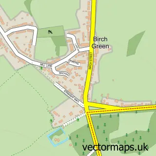
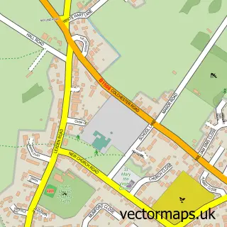
Nearby street map samples around Copford


More street maps in Essex
750 metre map area coverage
Boundary, postcode and point of interest information for the 750m x 750m rectangle centred on this sample map.
Boundaries containing map centre
Constituency: Witham Co Const
County: Essex County
District: Colchester District (B)
Icb: NHS Essex ICB
Parish: Copford CP
Police Force: essex
Postcode District: CO6
Postcode Sector: CO6 1
Ward: Marks Tey & Layer Ward
Nearby boundaries intersecting sample
No additional intersecting boundaries found.
Postcode coverage
POI category counts
Professional Services: 5
Building Supply Store: 4
Business Manufacturing And Supply: 2
Carpet Store: 2
Flowers And Gifts Shop: 2
Home Improvement Store: 2
Kitchen Remodeling: 2
Plumbing: 2
Sporting Goods: 2
Accommodation: 1
Sample points of interest
- Devoted Domestics
- Web-Aviso
- The Smart Repair Centre
- Twilight Bathrooms
- Hairitage
- Door Doctor
- Lapwing Marketing
- Monthind Clean
- N a Woodward Plumbing & Heating
- Aquatech Pressmain Ltd.
- Aquatech Pressmain
- Garage Door Repairs
Create a larger editable map of Copford
This sample shows only a 750 metre area. To create a larger map of Copford, use our map builder to choose your own coverage area, add titles and download editable SVG, PDF and PNG files.
Create a custom map of Copford