This White Notley street map is a detailed vector street map covering a 750m x 750m area. Select a larger area to create and download your own vector street map of White Notley.
The 750-metre map sample for White Notley covers 139 mapped buildings and approximately 7.9 km of road detail, of which 6 named roads are named. The immediate area includes 1 school and 1 GP surgery within 2 miles. The wider area around White Notley features 1 food and drink venue. To create a larger or custom map of White Notley, the map builder lets you define your own coverage area and download editable SVG, PDF and PNG files.
Create a larger editable map of White Notley
Choose any area you need and generate a high-quality vector map instantly. Perfect for print, planning, design, business and personal use.

This White Notley street map in Essex is available as downloadable SVG, PDF and PNG map files, or as a printed map for planning, business, display, education, local information and design work. You can also create a larger custom map area using the map selector.
What this White Notley map sample shows
White Notley lies within White Notley Cp parish, part of Hatfield Peverel & Terling ward in the Braintree District local authority area. The postcode geography for this area includes the CM postcode area, the CM8 postcode district and the CM8 1 postcode sector. Residents fall under the Nhs Mid And South Essex Integrated Care Board for NHS services.
Local features near White Notley
Within 2 milesAmenities and services in and around White Notley.
Administrative and postcode information for White Notley
The local authority covering White Notley is Braintree District, within the county of Essex. The settlement lies within Hatfield Peverel & Terling ward and White Notley Cp civil parish. The CM8 postcode district and CM8 1 postcode sector serve the immediate area. NHS provision in the area is delivered through Mid And South Essex Nhs Foundation Trust.
Nearby street map samples around White Notley
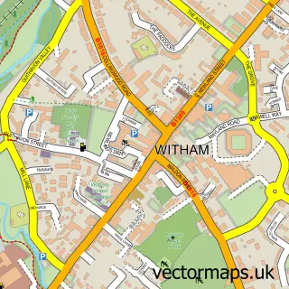

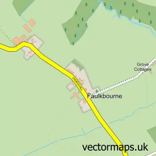
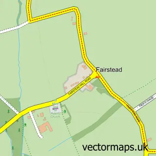
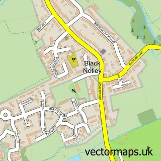

More street maps in Essex
750 metre map area coverage
Boundary, postcode and point of interest information for the 750m x 750m rectangle centred on this sample map.
Boundaries containing map centre
Constituency: Witham Co Const
County: Essex County
District: Braintree District
Icb: NHS Essex ICB
Parish: White Notley CP
Police Force: essex
Postcode District: CM8
Postcode Sector: CM8 1
Ward: Hatfield Peverel & Terling Ward
Nearby boundaries intersecting sample
No additional intersecting boundaries found.
Postcode coverage
POI category counts
Cremation Services: 2
Elementary School: 2
Anglican Church: 1
Car Dealer: 1
Church Cathedral: 1
Community Center: 1
Interior Design: 1
Real Estate Agent: 1
Restaurant: 1
Sample points of interest
- White Notley: St Etheldreda
- The Tavern Garage
- St Etheldreda White Notley
- White Notley Village Hall
- G Collins & Sons Funeral Directors
- G Collins & Sons Funeral Directors Ltd.
- White Notley C of E Primary School
- White Notley Church of England Voluntary Controlled Primary School
- Pride of Place
- Stanfield Developments
- Faulkbourne Takeaway
Create a larger editable map of White Notley
This sample shows only a 750 metre area. To create a larger map of White Notley, use our map builder to choose your own coverage area, add titles and download editable SVG, PDF and PNG files.
Create a custom map of White Notley