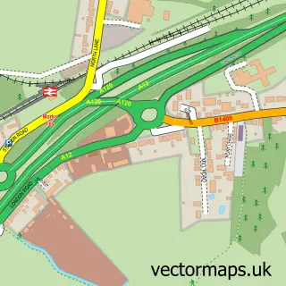
This Feering street map is a detailed vector street map covering a 750m x 750m area. Select a larger area to create and download your own vector street map of Feering.
The 750-metre map sample for Feering covers 230 mapped buildings and approximately 8.6 km of road detail, of which 10 named roads are named. The immediate area includes 1 school, 1 GP surgery within 2 miles, 2 pubs and 4 MOT stations within 2 miles. The wider area around Feering features 2 food and drink venues and 1 hotel. To create a larger or custom map of Feering, the map builder lets you define your own coverage area and download editable SVG, PDF and PNG files.
Create a larger editable map of Feering
Choose any area you need and generate a high-quality vector map instantly. Perfect for print, planning, design, business and personal use.

This Feering street map in Essex is available as downloadable SVG, PDF and PNG map files, or as a printed map for planning, business, display, education, local information and design work. You can also create a larger custom map area using the map selector.
What this Feering map sample shows
Feering lies within Feering Cp parish, part of Kelvedon & Feering ward in the Braintree District local authority area. The postcode geography for this area includes the CO postcode area, the CO5 postcode district and the CO5 9 postcode sector. Residents fall under the Nhs Mid And South Essex Integrated Care Board for NHS services.
Local features near Feering
Within 2 milesAmenities and services in and around Feering.
Administrative and postcode information for Feering
Feering lies within Feering Cp parish, part of Kelvedon & Feering ward in the Braintree District local authority area. The postcode geography for this area includes the CO postcode area, the CO5 postcode district and the CO5 9 postcode sector. Residents fall under the Nhs Mid And South Essex Integrated Care Board for NHS services.
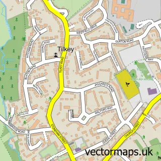
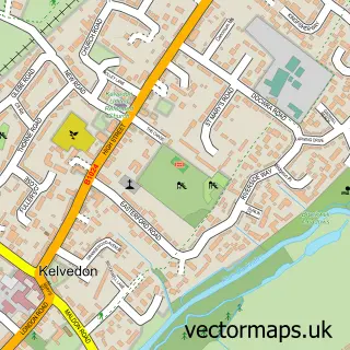
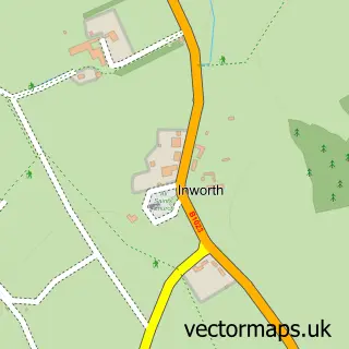
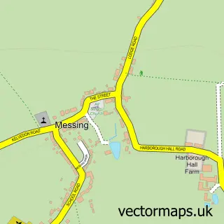
Nearby street map samples around Feering

More street maps in Essex
750 metre map area coverage
Boundary, postcode and point of interest information for the 750m x 750m rectangle centred on this sample map.
Boundaries containing map centre
Constituency: Witham Co Const
County: Essex County
District: Braintree District
Icb: NHS Essex ICB
Parish: Feering CP
Police Force: essex
Postcode District: CO5
Postcode Sector: CO5 9
Ward: Kelvedon & Feering Ward
Nearby boundaries intersecting sample
Parish: Kelvedon CP
Postcode coverage
POI category counts
Professional Services: 3
Advertising Agency: 2
Elementary School: 2
Pub: 2
Anglican Church: 1
Assisted Living Facility: 1
Bakery: 1
Beauty And Spa: 1
Beauty Salon: 1
Community Center: 1
Sample points of interest
- Sarah Fawkes Design
- Sugar Design
- All Saints, Feering
- Zero Three Care Homes
- Kerry-Ann's Cake Boutique
- Blended Beauty Feering Essex
- Serenity Beauty Room
- Feering Community Centre
- Kelvedon and Feering Cricket Club
- Jaywalker Dog Walking & Sitting
- Feering C Of E Primary School
- Feering C of E Primary School
Create a larger editable map of Feering
This sample shows only a 750 metre area. To create a larger map of Feering, use our map builder to choose your own coverage area, add titles and download editable SVG, PDF and PNG files.
Create a custom map of Feering