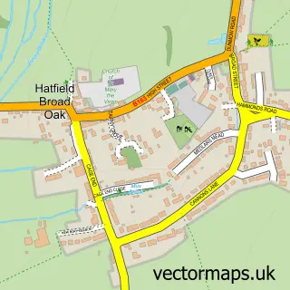
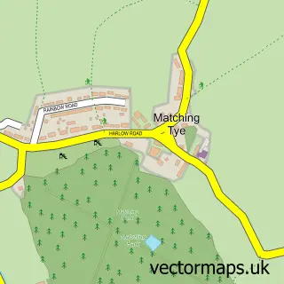
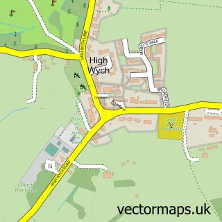
This Hatfield Heath street map is a detailed vector street map covering a 750m x 750m area. Select a larger area to create and download your own vector street map of Hatfield Heath.
The 750-metre map sample for Hatfield Heath covers 233 mapped buildings and approximately 13.4 km of road detail, of which 15 named roads are named. The immediate area includes 1 school, 1 GP surgery, 2 pubs and 1 MOT station within 2 miles. The wider area around Hatfield Heath features 4 food and drink venues. To create a larger or custom map of Hatfield Heath, the map builder lets you define your own coverage area and download editable SVG, PDF and PNG files.
Create a larger editable map of Hatfield Heath
Choose any area you need and generate a high-quality vector map instantly. Perfect for print, planning, design, business and personal use.

This Hatfield Heath street map in Essex is available as downloadable SVG, PDF and PNG map files, or as a printed map for planning, business, display, education, local information and design work. You can also create a larger custom map area using the map selector.
What this Hatfield Heath map sample shows
Hatfield Heath lies within Hatfield Heath Cp parish, part of Hatfield Heath ward in the Uttlesford District local authority area. The postcode geography for this area includes the CM postcode area, the CM22 postcode district and the CM22 7 postcode sector. Residents fall under the Nhs Hertfordshire And West Essex Integrated Care Board for NHS services.
Local features near Hatfield Heath
Within 2 milesAmenities and services in and around Hatfield Heath.
Administrative and postcode information for Hatfield Heath
The local authority covering Hatfield Heath is Uttlesford District, within the county of Essex. The settlement lies within Hatfield Heath ward and Hatfield Heath Cp civil parish. The CM22 postcode district and CM22 7 postcode sector serve the immediate area. NHS provision in the area is delivered through The Princess Alexandra Hospital Nhs Trust.
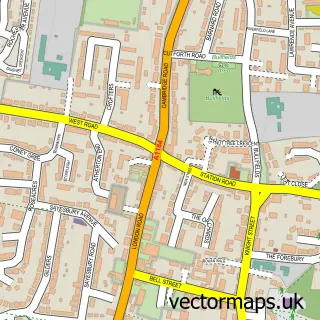
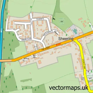
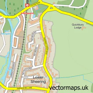
Nearby street map samples around Hatfield Heath

More street maps in Essex
750 metre map area coverage
Boundary, postcode and point of interest information for the 750m x 750m rectangle centred on this sample map.
Boundaries containing map centre
Constituency: Harlow Co Const
County: Essex County
District: Uttlesford District
Icb: NHS Central East ICB
Parish: Hatfield Heath CP
Police Force: essex
Postcode District: CM22
Postcode Sector: CM22 7
Ward: Hatfield Heath Ward
Nearby boundaries intersecting sample
No additional intersecting boundaries found.
Postcode coverage
POI category counts
Beauty Salon: 4
Hair Salon: 3
Professional Services: 3
Doctor: 2
Elementary School: 2
Fast Food Restaurant: 2
Pizza Restaurant: 2
Post Office: 2
Pub: 2
Thai Restaurant: 2
Sample points of interest
- Tesseract Management Systems
- Hatfield Heath: Holy Trinity
- SKK Design
- Anwar's Restaurant
- The Cooperative Food Hatfield Heath, Hatfield Heath
- Dorringtons
- Everything Beauty & Laser
- Head over heels
- Kopela
- Reynolds Court Yard
- Jennie Childs
- Jellybabys
Create a larger editable map of Hatfield Heath
This sample shows only a 750 metre area. To create a larger map of Hatfield Heath, use our map builder to choose your own coverage area, add titles and download editable SVG, PDF and PNG files.
Create a custom map of Hatfield Heath