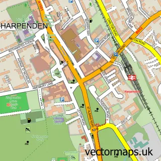
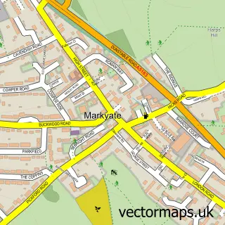
This Hatching Green street map is a detailed vector street map covering a 750m x 750m area. Select a larger area to create and download your own vector street map of Hatching Green.
The 750-metre map sample for Hatching Green covers 172 mapped buildings and approximately 9.0 km of road detail, of which 15 named roads are named. The immediate area includes 3 GP surgeries within 2 miles, 1 pub and 9 MOT stations within 2 miles. The wider area around Hatching Green features 1 tourism point of interest and 1 food and drink venue. To create a larger or custom map of Hatching Green, the map builder lets you define your own coverage area and download editable SVG, PDF and PNG files.
Create a larger editable map of Hatching Green
Choose any area you need and generate a high-quality vector map instantly. Perfect for print, planning, design, business and personal use.

This Hatching Green street map in Hertfordshire is available as downloadable SVG, PDF and PNG map files, or as a printed map for planning, business, display, education, local information and design work. You can also create a larger custom map area using the map selector.
What this Hatching Green map sample shows
Hatching Green lies within Harpenden Rural Cp parish, part of Redbourn ward in the St. Albans District (B) local authority area. The postcode geography for this area includes the AL postcode area, the AL5 postcode district and the AL5 2 postcode sector. Residents fall under the Nhs Hertfordshire And West Essex Integrated Care Board for NHS services.
Local features near Hatching Green
Within 2 milesAmenities and services in and around Hatching Green.
Administrative and postcode information for Hatching Green
Hatching Green lies within Harpenden Rural Cp parish, part of Redbourn ward in the St. Albans District (B) local authority area. The postcode geography for this area includes the AL postcode area, the AL5 postcode district and the AL5 2 postcode sector. Residents fall under the Nhs Hertfordshire And West Essex Integrated Care Board for NHS services.
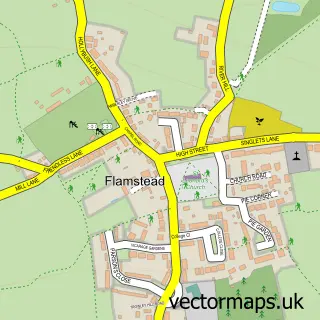
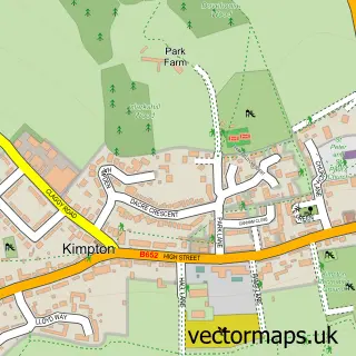
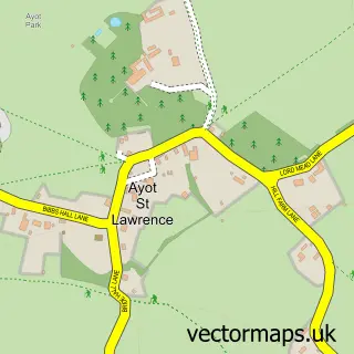
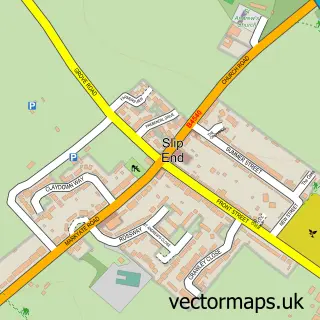
Nearby street map samples around Hatching Green

More street maps in Hertfordshire
750 metre map area coverage
Boundary, postcode and point of interest information for the 750m x 750m rectangle centred on this sample map.
Boundaries containing map centre
Constituency: Harpenden and Berkhamsted Co Const
County: Hertfordshire County
District: St. Albans District (B)
Icb: NHS Central East ICB
Parish: Harpenden Town CP
Police Force: hertfordshire
Postcode District: AL5
Postcode Sector: AL5 2
Ward: Harpenden West Ward
Nearby boundaries intersecting sample
Parish: Harpenden Rural CP
Postcode Sector: AL5 1
Ward: Harpenden North & Rural Ward, Harpenden South Ward
Postcode coverage
POI category counts
Attractions And Activities: 1
Auto Electrical Repair: 1
Automotive Repair: 1
Charity Organization: 1
Educational Services: 1
Home Service: 1
Pet Services: 1
Pub: 1
Sample points of interest
- Hatching Green
- Blue Bear Security
- Refresh Autos
- Classics on the Common
- Seven Institute
- Busy Bees
- Bert's Bunny Hotel
- The White Horse
Create a larger editable map of Hatching Green
This sample shows only a 750 metre area. To create a larger map of Hatching Green, use our map builder to choose your own coverage area, add titles and download editable SVG, PDF and PNG files.
Create a custom map of Hatching Green