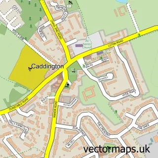
This Markyate street map is a detailed vector street map covering a 750m x 750m area. Select a larger area to create and download your own vector street map of Markyate.
The 750-metre map sample for Markyate covers 340 mapped buildings and approximately 16.7 km of road detail, of which 40 named roads are named. The immediate area includes 1 GP surgery within 2 miles, 1 pub and 1 MOT station, with 2 within 2 miles. The wider area around Markyate features 1 tourism point of interest, 3 food and drink venues and 1 hotel. To create a larger or custom map of Markyate, the map builder lets you define your own coverage area and download editable SVG, PDF and PNG files.
Create a larger editable map of Markyate
Choose any area you need and generate a high-quality vector map instantly. Perfect for print, planning, design, business and personal use.

This Markyate street map in Hertfordshire is available as downloadable SVG, PDF and PNG map files, or as a printed map for planning, business, display, education, local information and design work. You can also create a larger custom map area using the map selector.
What this Markyate map sample shows
Markyate lies within Markyate Cp parish, part of Watling ward in the Dacorum District (B) local authority area. The postcode geography for this area includes the AL postcode area, the AL3 postcode district and the AL3 8 postcode sector. Residents fall under the Nhs Hertfordshire And West Essex Integrated Care Board for NHS services.
Local features near Markyate
Within 2 milesAmenities and services in and around Markyate.
Administrative and postcode information for Markyate
The local authority covering Markyate is Dacorum District (B), within the county of Hertfordshire. The settlement lies within Watling ward and Markyate Cp civil parish. The AL3 postcode district and AL3 8 postcode sector serve the immediate area. NHS provision in the area is delivered through Bedfordshire Hospitals Nhs Foundation Trust.
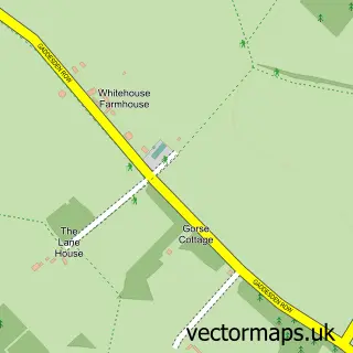
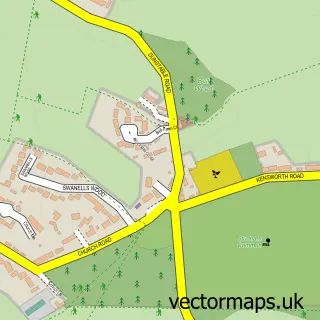
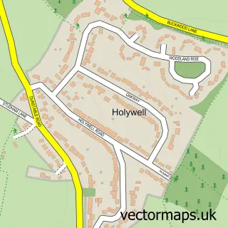
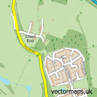
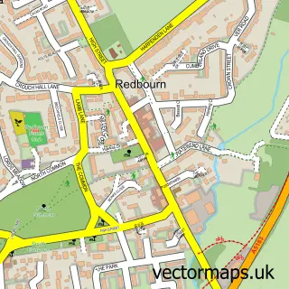
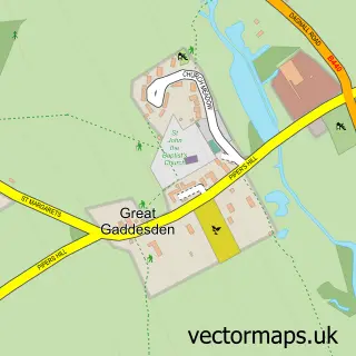
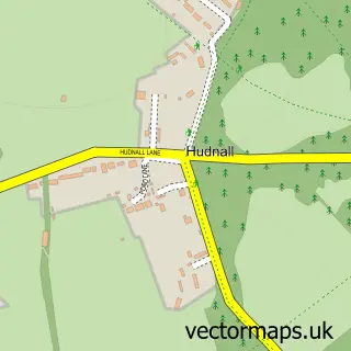
Nearby street map samples around Markyate

More street maps in Hertfordshire
750 metre map area coverage
Boundary, postcode and point of interest information for the 750m x 750m rectangle centred on this sample map.
Boundaries containing map centre
Constituency: Harpenden and Berkhamsted Co Const
County: Hertfordshire County
District: Dacorum District (B)
Icb: NHS Central East ICB
Parish: Markyate CP
Police Force: hertfordshire
Postcode District: AL3
Postcode Sector: AL3 8
Ward: Watling Ward
Nearby boundaries intersecting sample
No additional intersecting boundaries found.
Postcode coverage
POI category counts
Automotive Repair: 3
Beauty Salon: 3
Dj Service: 3
Doctor: 3
Indian Restaurant: 3
Automotive: 2
Building Supply Store: 2
Convenience Store: 2
Energy Company: 2
Physical Therapy: 2
Sample points of interest
- Virtual Accounting Services
- Retrovation
- Village Arcade
- Nisa (ERF) (Protected)
- R F Motors
- R F Motors
- Hazzydayz
- Competition Transmission Services
- Harts Motors Markyate
- R T M
- Pruden's Bakery
- HSBC Bank
Create a larger editable map of Markyate
This sample shows only a 750 metre area. To create a larger map of Markyate, use our map builder to choose your own coverage area, add titles and download editable SVG, PDF and PNG files.
Create a custom map of Markyate