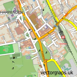
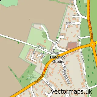
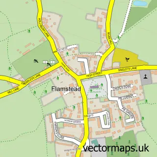
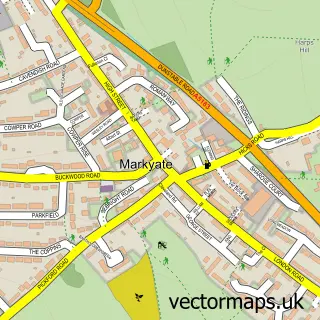
This Redbourn street map is a detailed vector street map covering a 750m x 750m area. Select a larger area to create and download your own vector street map of Redbourn.
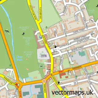
The 750-metre map sample for Redbourn covers 388 mapped buildings and approximately 17.2 km of road detail, of which 36 named roads are named. The immediate area includes 1 GP surgery within 2 miles, 2 pubs and 2 MOT stations. The wider area around Redbourn features 3 tourism points of interest, 5 food and drink venues and 2 hotels. To create a larger or custom map of Redbourn, the map builder lets you define your own coverage area and download editable SVG, PDF and PNG files.
Create a larger editable map of Redbourn
Choose any area you need and generate a high-quality vector map instantly. Perfect for print, planning, design, business and personal use.

This Redbourn street map in Hertfordshire is available as downloadable SVG, PDF and PNG map files, or as a printed map for planning, business, display, education, local information and design work. You can also create a larger custom map area using the map selector.
What this Redbourn map sample shows
Redbourn lies within Redbourn Cp parish, part of Redbourn ward in the St. Albans District (B) local authority area. The postcode geography for this area includes the AL postcode area, the AL3 postcode district and the AL3 7 postcode sector. Residents fall under the Nhs Hertfordshire And West Essex Integrated Care Board for NHS services.
Local features near Redbourn
Within 2 milesAmenities and services in and around Redbourn.
Administrative and postcode information for Redbourn
Redbourn lies within Redbourn Cp parish, part of Redbourn ward in the St. Albans District (B) local authority area. The postcode geography for this area includes the AL postcode area, the AL3 postcode district and the AL3 7 postcode sector. Residents fall under the Nhs Hertfordshire And West Essex Integrated Care Board for NHS services.
Nearby street map samples around Redbourn

More street maps in Hertfordshire
750 metre map area coverage
Boundary, postcode and point of interest information for the 750m x 750m rectangle centred on this sample map.
Boundaries containing map centre
Constituency: Harpenden and Berkhamsted Co Const
County: Hertfordshire County
District: St. Albans District (B)
Icb: NHS Central East ICB
Parish: Redbourn CP
Police Force: hertfordshire
Postcode District: AL3
Postcode Sector: AL3 7
Ward: Redbourn Ward
Nearby boundaries intersecting sample
No additional intersecting boundaries found.
Postcode coverage
POI category counts
Professional Services: 5
Hair Salon: 4
Medical Center: 4
Antique Store: 3
Beauty Salon: 3
Education: 3
Telecommunications: 3
Advertising Agency: 2
Automotive Repair: 2
Bicycle Shop: 2
Sample points of interest
- the barefoot accountant
- Chris Thorpe Associates
- Mousetrap Creative Studios
- J N Antiques
- The Antique Print Shop
- Tim Wharton Antiques
- Oakbridge Architecture
- Cumberland Garden
- Redbourn Auto Solutions
- Redbourn MOT Centre
- Redbourn village barbers.
- Atelier Hairdressing & Beauty Rooms
Create a larger editable map of Redbourn
This sample shows only a 750 metre area. To create a larger map of Redbourn, use our map builder to choose your own coverage area, add titles and download editable SVG, PDF and PNG files.
Create a custom map of Redbourn