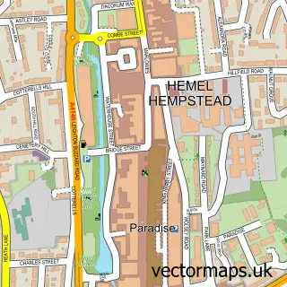
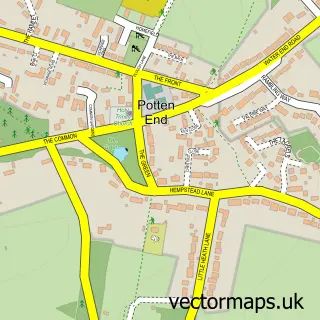
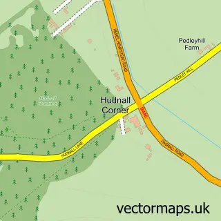
This Piccotts End street map is a detailed vector street map covering a 750m x 750m area. Select a larger area to create and download your own vector street map of Piccotts End.
The 750-metre map sample for Piccotts End covers 77 mapped buildings and approximately 8.9 km of road detail, of which 6 named roads are named. The immediate area includes 5 GP surgeries within 2 miles, 2 pubs and 10 MOT stations within 2 miles. The wider area around Piccotts End features 1 tourism point of interest and 2 food and drink venues. To create a larger or custom map of Piccotts End, the map builder lets you define your own coverage area and download editable SVG, PDF and PNG files.
Create a larger editable map of Piccotts End
Choose any area you need and generate a high-quality vector map instantly. Perfect for print, planning, design, business and personal use.

This Piccotts End street map in Hertfordshire is available as downloadable SVG, PDF and PNG map files, or as a printed map for planning, business, display, education, local information and design work. You can also create a larger custom map area using the map selector.
What this Piccotts End map sample shows
Piccotts End lies within Hertfordshire County parish, part of Grovehill ward in the Dacorum District (B) local authority area. The postcode geography for this area includes the HP postcode area, the HP1 postcode district and the HP1 3 postcode sector. Residents fall under the Nhs Hertfordshire And West Essex Integrated Care Board for NHS services.
Local features near Piccotts End
Within 2 milesAmenities and services in and around Piccotts End.
Administrative and postcode information for Piccotts End
Piccotts End lies within Hertfordshire County parish, part of Grovehill ward in the Dacorum District (B) local authority area. The postcode geography for this area includes the HP postcode area, the HP1 postcode district and the HP1 3 postcode sector. Residents fall under the Nhs Hertfordshire And West Essex Integrated Care Board for NHS services.
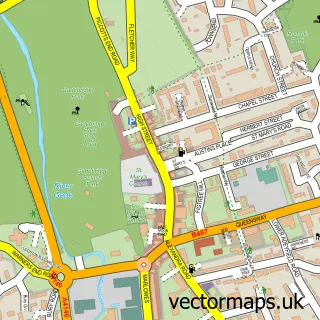
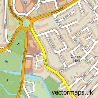
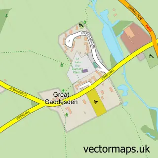
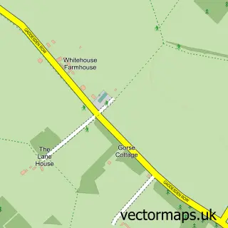
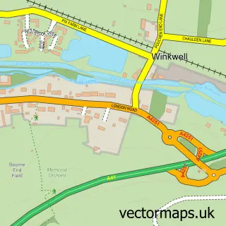
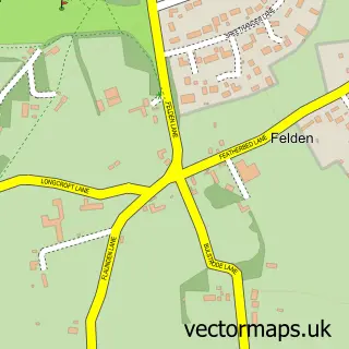
Nearby street map samples around Piccotts End

More street maps in Hertfordshire
750 metre map area coverage
Boundary, postcode and point of interest information for the 750m x 750m rectangle centred on this sample map.
Boundaries containing map centre
Constituency: Hemel Hempstead Co Const
County: Hertfordshire County
District: Dacorum District (B)
Icb: NHS Central East ICB
Police Force: hertfordshire
Postcode District: HP1
Postcode Sector: HP1 3
Ward: Grovehill Ward
Nearby boundaries intersecting sample
Constituency: Harpenden and Berkhamsted Co Const
Parish: Great Gaddesden CP
Postcode District: HP2
Postcode Sector: HP2 6
Ward: Gadebridge Ward, Watling Ward
Postcode coverage
POI category counts
Pub: 2
Building Contractor: 1
Educational Services: 1
Fence And Gate Sales Service: 1
Landmark And Historical Building: 1
Used Car Dealer: 1
Sample points of interest
- Alpha Home Improvements London
- Enjoy Making Music
- Roche Fencing & Landscaping
- Piccotts End Paintings
- Marchmont Arms Piccotts End
- The Marchmont Arms
- Water End Garage
Create a larger editable map of Piccotts End
This sample shows only a 750 metre area. To create a larger map of Piccotts End, use our map builder to choose your own coverage area, add titles and download editable SVG, PDF and PNG files.
Create a custom map of Piccotts End