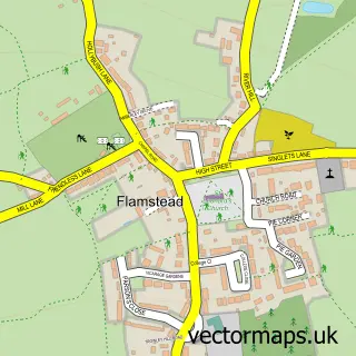
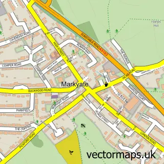
This Harpenden street map is a detailed vector street map covering a 750m x 750m area. Select a larger area to create and download your own vector street map of Harpenden.
The 750-metre map sample for Harpenden covers 270 mapped buildings and approximately 17.3 km of road detail, of which 39 named roads are named. The immediate area includes 3 schools, 1 railway station, 2 GP surgeries, with 3 within 2 miles and 9 pubs among other local services. The wider area around Harpenden features 4 tourism points of interest, 35 food and drink venues and 1 hotel. To create a larger or custom map of Harpenden, the map builder lets you define your own coverage area and download editable SVG, PDF and PNG files.
Create a larger editable map of Harpenden
Choose any area you need and generate a high-quality vector map instantly. Perfect for print, planning, design, business and personal use.

This Harpenden street map in Hertfordshire is available as downloadable SVG, PDF and PNG map files, or as a printed map for planning, business, display, education, local information and design work. You can also create a larger custom map area using the map selector.
What this Harpenden map sample shows
Harpenden lies within Harpenden Town Cp parish, part of Harpenden West ward in the St. Albans District (B) local authority area. The postcode geography for this area includes the AL postcode area, the AL5 postcode district and the AL5 2 postcode sector. Residents fall under the Nhs Hertfordshire And West Essex Integrated Care Board for NHS services.
Local features near Harpenden
Within 2 milesAmenities and services in and around Harpenden.
Administrative and postcode information for Harpenden
Harpenden lies within Harpenden Town Cp parish, part of Harpenden West ward in the St. Albans District (B) local authority area. The postcode geography for this area includes the AL postcode area, the AL5 postcode district and the AL5 2 postcode sector. Residents fall under the Nhs Hertfordshire And West Essex Integrated Care Board for NHS services.
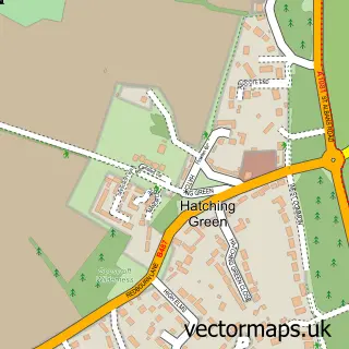
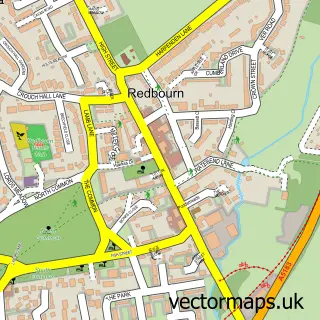
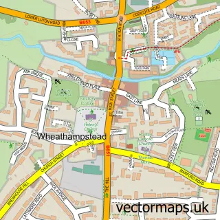
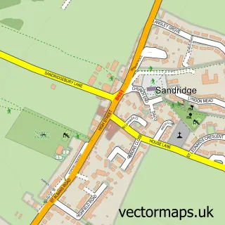
Nearby street map samples around Harpenden

More street maps in Hertfordshire
750 metre map area coverage
Boundary, postcode and point of interest information for the 750m x 750m rectangle centred on this sample map.
Boundaries containing map centre
Constituency: Harpenden and Berkhamsted Co Const
County: Hertfordshire County
District: St. Albans District (B)
Icb: NHS Central East ICB
Parish: Harpenden Town CP
Police Force: hertfordshire
Postcode District: AL5
Postcode Sector: AL5 2
Ward: Harpenden West Ward
Nearby boundaries intersecting sample
Postcode Sector: AL5 1, AL5 4, AL5 5
Ward: Harpenden East Ward
Postcode coverage
POI category counts
Real Estate Agent: 17
Hair Salon: 16
Beauty Salon: 12
Dentist: 12
Restaurant: 11
Banks: 10
Cafe: 9
Professional Services: 9
Pub: 9
Advertising Agency: 7
Sample points of interest
- Cactus Accounting
- Davis & Co
- FD Chartered Accountants & Business Advisers
- Hicks & Company
- Hicks and Company
- Kate Henley Acupuncture
- BOLT Digital Marketing Solutions
- Dawson Walker Communications
- Interface Marketing Solutions
- Noah Design
- P S Design
- Your Comms Team
Create a larger editable map of Harpenden
This sample shows only a 750 metre area. To create a larger map of Harpenden, use our map builder to choose your own coverage area, add titles and download editable SVG, PDF and PNG files.
Create a custom map of Harpenden