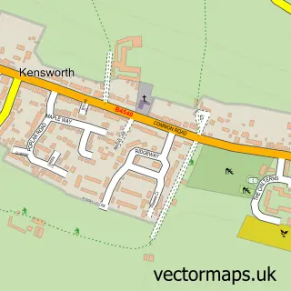
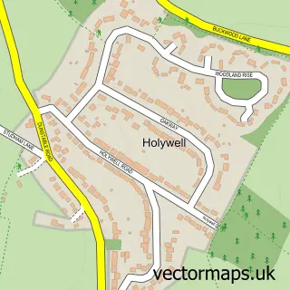
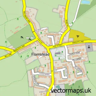
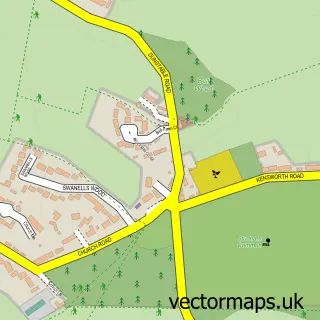
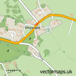
This Caddington street map is a detailed vector street map covering a 750m x 750m area. Select a larger area to create and download your own vector street map of Caddington.
The 750-metre map sample for Caddington covers 405 mapped buildings and approximately 15.4 km of road detail, of which 24 named roads are named. The immediate area includes 1 GP surgery, with 10 within 2 miles, 2 pubs and 1 MOT station, with 24 within 2 miles. The wider area around Caddington features 3 food and drink venues. To create a larger or custom map of Caddington, the map builder lets you define your own coverage area and download editable SVG, PDF and PNG files.
Create a larger editable map of Caddington
Choose any area you need and generate a high-quality vector map instantly. Perfect for print, planning, design, business and personal use.

This Caddington street map in Bedfordshire is available as downloadable SVG, PDF and PNG map files, or as a printed map for planning, business, display, education, local information and design work. You can also create a larger custom map area using the map selector.
What this Caddington map sample shows
Caddington lies within Caddington Cp parish, part of Caddington ward in the Central Bedfordshire local authority area. The postcode geography for this area includes the LU postcode area, the LU1 postcode district and the LU1 4 postcode sector. Residents fall under the Nhs Bedfordshire, Luton And Milton Keynes Integrated Care Board for NHS services.
Local features near Caddington
Within 2 milesAmenities and services in and around Caddington.
Administrative and postcode information for Caddington
Caddington lies within Caddington Cp parish, part of Caddington ward in the Central Bedfordshire local authority area. The postcode geography for this area includes the LU postcode area, the LU1 postcode district and the LU1 4 postcode sector. Residents fall under the Nhs Bedfordshire, Luton And Milton Keynes Integrated Care Board for NHS services.
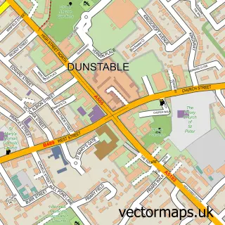
Nearby street map samples around Caddington

More street maps in Bedfordshire
750 metre map area coverage
Boundary, postcode and point of interest information for the 750m x 750m rectangle centred on this sample map.
Boundaries containing map centre
Constituency: Luton South and South Bedfordshire Co Const
District: Central Bedfordshire
Icb: NHS Central East ICB
Parish: Caddington CP
Police Force: bedfordshire
Postcode District: LU1
Postcode Sector: LU1 4
Ward: Caddington Ward
Nearby boundaries intersecting sample
No additional intersecting boundaries found.
Postcode coverage
POI category counts
Hair Salon: 5
Automotive Repair: 3
Beauty And Spa: 3
Building Supply Store: 3
Church Cathedral: 3
Korean Grocery Store: 3
Beauty Salon: 2
Construction Services: 2
Contractor: 2
Home Service: 2
Sample points of interest
- Astons Accountants
- All Saints Caddington Village
- Caddington Village Glass
- The Cooperative Food (BF) Caddington (ERF), Caddington
- Autoshine
- A Strobe Electrics
- Caddington Garage
- Caddington Garage
- Ph Services
- Nails By Amy
- Revive Hair & Beauty Spa
- The Glow Skin Clinic
Create a larger editable map of Caddington
This sample shows only a 750 metre area. To create a larger map of Caddington, use our map builder to choose your own coverage area, add titles and download editable SVG, PDF and PNG files.
Create a custom map of Caddington