This Luton street map is a detailed vector street map covering a 750m x 750m area. Select a larger area to create and download your own vector street map of Luton.
The 750-metre map sample for Luton covers 181 mapped buildings and approximately 26.2 km of road detail, of which 62 named roads are named. The immediate area includes 1 school, 2 GP surgeries, with 14 within 2 miles, 21 pubs and 2 MOT stations, with 43 within 2 miles. The wider area around Luton features 9 tourism points of interest, 76 food and drink venues and 10 hotels. To create a larger or custom map of Luton, the map builder lets you define your own coverage area and download editable SVG, PDF and PNG files.
Create a larger editable map of Luton
Choose any area you need and generate a high-quality vector map instantly. Perfect for print, planning, design, business and personal use.

This Luton street map in Bedfordshire is available as downloadable SVG, PDF and PNG map files, or as a printed map for planning, business, display, education, local information and design work. You can also create a larger custom map area using the map selector.
What this Luton map sample shows
Luton lies within Luton (B) parish, part of South ward in the Luton (B) local authority area. The postcode geography for this area includes the LU postcode area, the LU1 postcode district and the LU1 3 postcode sector. Residents fall under the Nhs Bedfordshire, Luton And Milton Keynes Integrated Care Board for NHS services.
Local features near Luton
Within 2 milesAmenities and services in and around Luton.
Administrative and postcode information for Luton
The local authority covering Luton is Luton (B), within the county of Bedfordshire. The settlement lies within South ward and Luton (B) civil parish. The LU1 postcode district and LU1 3 postcode sector serve the immediate area. NHS provision in the area is delivered through Bedfordshire Hospitals Nhs Foundation Trust.
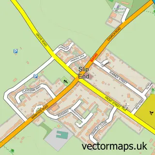
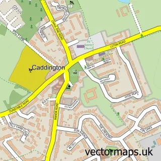
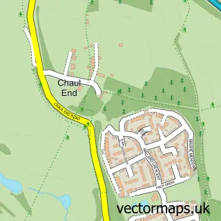
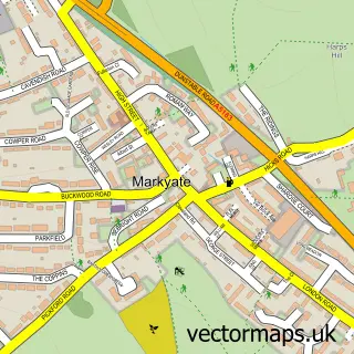
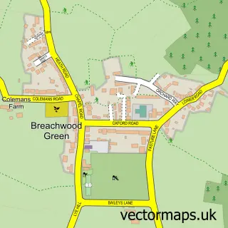
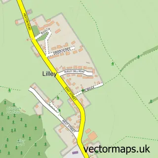
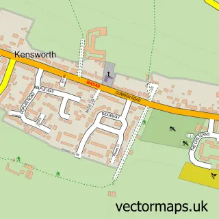
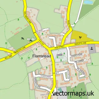
Nearby street map samples around Luton

More street maps in Bedfordshire
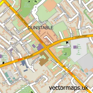
750 metre map area coverage
Boundary, postcode and point of interest information for the 750m x 750m rectangle centred on this sample map.
Boundaries containing map centre
Constituency: Luton South and South Bedfordshire Co Const
District: Luton (B)
Icb: NHS Central East ICB
Police Force: bedfordshire
Postcode District: LU1
Postcode Sector: LU1 2
Ward: Central Ward
Nearby boundaries intersecting sample
Postcode District: LU2
Postcode Sector: LU1 1, LU1 3, LU1 5, LU2 0
Ward: Farley Ward, South Ward
Postcode coverage
POI category counts
Clothing Store: 46
Real Estate Agent: 36
Professional Services: 35
Beauty Salon: 33
Fast Food Restaurant: 33
Restaurant: 29
Employment Agencies: 22
Hair Salon: 22
Pub: 21
Jewelry Store: 19
Sample points of interest
- PCP Luton
- Apex Student Living
- Chapel Street Student Halls
- Homes for Students Hatbox
- Opto Village
- Uverspace Management and Developments
- Acumen Plus
- Akins & Company
- BeSt Accounting LTD
- Caulie
- FSL Accountancy Limited
- HFH Accountants in Luton
Create a larger editable map of Luton
This sample shows only a 750 metre area. To create a larger map of Luton, use our map builder to choose your own coverage area, add titles and download editable SVG, PDF and PNG files.
Create a custom map of Luton