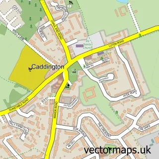
This Dunstable street map is a detailed vector street map covering a 750m x 750m area. Select a larger area to create and download your own vector street map of Dunstable.
The 750-metre map sample for Dunstable covers 389 mapped buildings and approximately 19.5 km of road detail, of which 42 named roads are named. The immediate area includes 1 school, 3 GP surgeries, with 8 within 2 miles, 13 pubs and 1 MOT station, with 15 within 2 miles. The wider area around Dunstable features 5 tourism points of interest, 40 food and drink venues and 1 hotel. To create a larger or custom map of Dunstable, the map builder lets you define your own coverage area and download editable SVG, PDF and PNG files.
Create a larger editable map of Dunstable
Choose any area you need and generate a high-quality vector map instantly. Perfect for print, planning, design, business and personal use.

This Dunstable street map in Bedfordshire is available as downloadable SVG, PDF and PNG map files, or as a printed map for planning, business, display, education, local information and design work. You can also create a larger custom map area using the map selector.
What this Dunstable map sample shows
Dunstable lies within Dunstable Cp parish, part of Dunstable-Icknield ward in the Central Bedfordshire local authority area. The postcode geography for this area includes the LU postcode area, the LU5 postcode district and the LU5 4 postcode sector. Residents fall under the Nhs Bedfordshire, Luton And Milton Keynes Integrated Care Board for NHS services.
Local features near Dunstable
Within 2 milesAmenities and services in and around Dunstable.
Administrative and postcode information for Dunstable
Dunstable lies within Dunstable Cp parish, part of Dunstable-Icknield ward in the Central Bedfordshire local authority area. The postcode geography for this area includes the LU postcode area, the LU5 postcode district and the LU5 4 postcode sector. Residents fall under the Nhs Bedfordshire, Luton And Milton Keynes Integrated Care Board for NHS services.
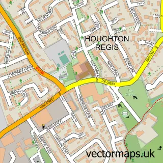
Nearby street map samples around Dunstable

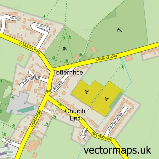
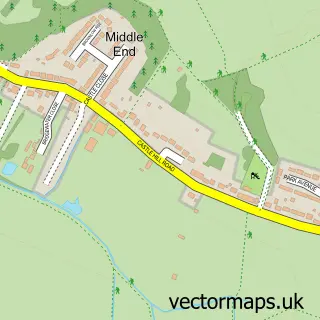
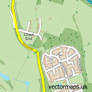
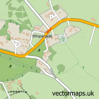
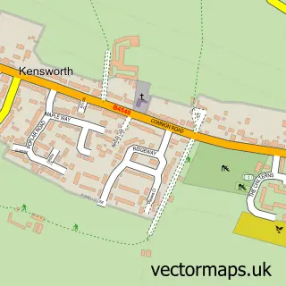
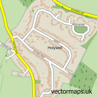
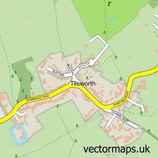
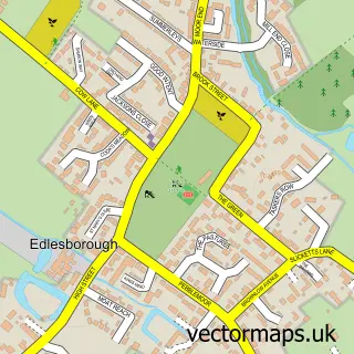
More street maps in Bedfordshire
750 metre map area coverage
Boundary, postcode and point of interest information for the 750m x 750m rectangle centred on this sample map.
Boundaries containing map centre
Constituency: Dunstable and Leighton Buzzard Co Const
District: Central Bedfordshire
Icb: NHS Central East ICB
Parish: Dunstable CP
Police Force: bedfordshire
Postcode District: LU6
Postcode Sector: LU6 1
Nearby boundaries intersecting sample
Postcode District: LU5
Postcode Sector: LU5 4, LU6 3
Ward: Dunstable Central Ward, Dunstable East Ward, Dunstable North Ward, Dunstable West Ward
Postcode coverage
POI category counts
Beauty Salon: 23
Real Estate Agent: 19
Hair Salon: 14
Pub: 13
Barber: 12
Church Cathedral: 12
Clothing Store: 11
Coffee Shop: 11
Employment Agencies: 11
Restaurant: 11
Sample points of interest
- Census Accountancy and Business Intelligence
- Parbery Davies & Co
- Spicer & Co
- Stoten Gillam Accountants
- England & Wales Cricket Board
- Blue Heart Clinics
- Hype Studios
- Hype Studios
- Turners Media
- Gentle Touch Healing
- Slimming World
- Fed Up
Create a larger editable map of Dunstable
This sample shows only a 750 metre area. To create a larger map of Dunstable, use our map builder to choose your own coverage area, add titles and download editable SVG, PDF and PNG files.
Create a custom map of Dunstable