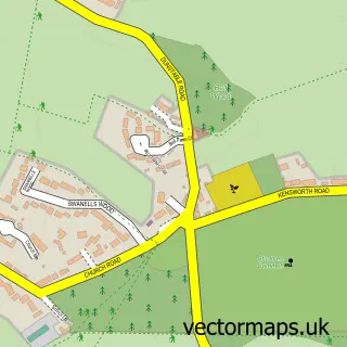
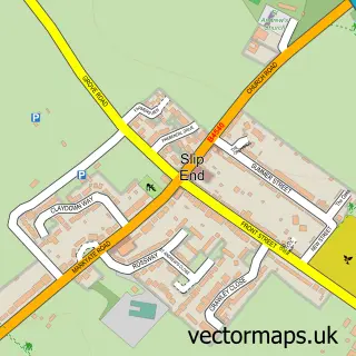
This Kensworth street map is a detailed vector street map covering a 750m x 750m area. Select a larger area to create and download your own vector street map of Kensworth.
The 750-metre map sample for Kensworth covers 229 mapped buildings and approximately 9.0 km of road detail, of which 13 named roads are named. The immediate area includes 1 MOT station within 2 miles. The wider area around Kensworth features 1 tourism point of interest. To create a larger or custom map of Kensworth, the map builder lets you define your own coverage area and download editable SVG, PDF and PNG files.
Create a larger editable map of Kensworth
Choose any area you need and generate a high-quality vector map instantly. Perfect for print, planning, design, business and personal use.

This Kensworth street map in Bedfordshire is available as downloadable SVG, PDF and PNG map files, or as a printed map for planning, business, display, education, local information and design work. You can also create a larger custom map area using the map selector.
What this Kensworth map sample shows
Kensworth lies within Kensworth Cp parish, part of Caddington ward in the Central Bedfordshire local authority area. The postcode geography for this area includes the LU postcode area, the LU6 postcode district and the LU6 2 postcode sector. Residents fall under the Nhs Bedfordshire, Luton And Milton Keynes Integrated Care Board for NHS services.
Local features near Kensworth
Within 2 milesAmenities and services in and around Kensworth.
Administrative and postcode information for Kensworth
The local authority covering Kensworth is Central Bedfordshire, within the county of Bedfordshire. The settlement lies within Caddington ward and Kensworth Cp civil parish. The LU6 postcode district and LU6 2 postcode sector serve the immediate area. NHS provision in the area is delivered through Bedfordshire Hospitals Nhs Foundation Trust.
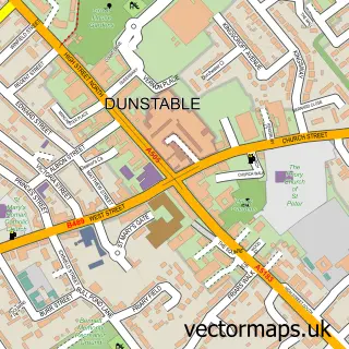
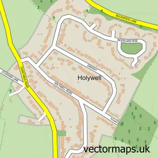
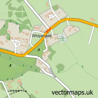
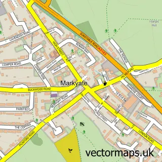
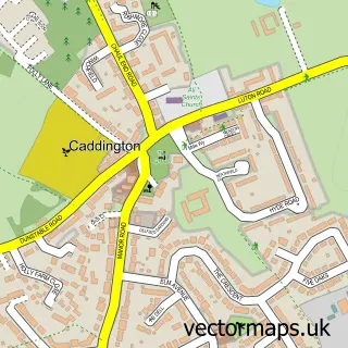
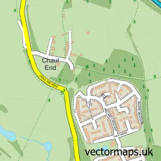
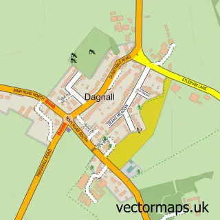
Nearby street map samples around Kensworth

More street maps in Bedfordshire
750 metre map area coverage
Boundary, postcode and point of interest information for the 750m x 750m rectangle centred on this sample map.
Boundaries containing map centre
Constituency: Luton South and South Bedfordshire Co Const
District: Central Bedfordshire
Icb: NHS Central East ICB
Parish: Kensworth CP
Police Force: bedfordshire
Postcode District: LU6
Postcode Sector: LU6 3
Ward: Caddington Ward
Nearby boundaries intersecting sample
Parish: Whipsnade CP
Postcode Sector: LU6 2
Postcode coverage
POI category counts
Beauty Salon: 2
Contractor: 2
Post Office: 2
Professional Services: 2
Attractions And Activities: 1
Building Contractor: 1
Cabin: 1
Carpenter: 1
Convenience Store: 1
Currency Exchange: 1
Sample points of interest
- Kensworth, Beds, UK
- ELIKA HAIR
- Pretty Beautiful Me
- Stark Group
- Red Door Luxury Venues
- Hooper Homes
- E & C Builders
- Jw Construction Limited
- Kensworth Village Stores
- Post Office Travel Money
- Kensworth Village Hall
- Grove Design
Create a larger editable map of Kensworth
This sample shows only a 750 metre area. To create a larger map of Kensworth, use our map builder to choose your own coverage area, add titles and download editable SVG, PDF and PNG files.
Create a custom map of Kensworth