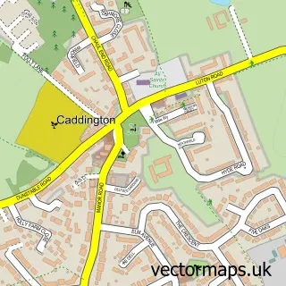
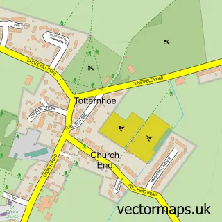
This Chaul End street map is a detailed vector street map covering a 750m x 750m area. Select a larger area to create and download your own vector street map of Chaul End.
The 750-metre map sample for Chaul End covers 172 mapped buildings and approximately 9.1 km of road detail, of which 7 named roads are named. The immediate area includes 16 GP surgeries within 2 miles and 37 MOT stations within 2 miles. To create a larger or custom map of Chaul End, the map builder lets you define your own coverage area and download editable SVG, PDF and PNG files.
Create a larger editable map of Chaul End
Choose any area you need and generate a high-quality vector map instantly. Perfect for print, planning, design, business and personal use.

This Chaul End street map in Bedfordshire is available as downloadable SVG, PDF and PNG map files, or as a printed map for planning, business, display, education, local information and design work. You can also create a larger custom map area using the map selector.
What this Chaul End map sample shows
Chaul End lies within Caddington Cp parish, part of Caddington ward in the Central Bedfordshire local authority area. The postcode geography for this area includes the LU postcode area, the LU1 postcode district and the LU1 4 postcode sector. Residents fall under the Nhs Bedfordshire, Luton And Milton Keynes Integrated Care Board for NHS services.
Local features near Chaul End
Within 2 milesAmenities and services in and around Chaul End.
Administrative and postcode information for Chaul End
Chaul End lies within Caddington Cp parish, part of Caddington ward in the Central Bedfordshire local authority area. The postcode geography for this area includes the LU postcode area, the LU1 postcode district and the LU1 4 postcode sector. Residents fall under the Nhs Bedfordshire, Luton And Milton Keynes Integrated Care Board for NHS services.
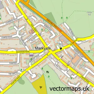
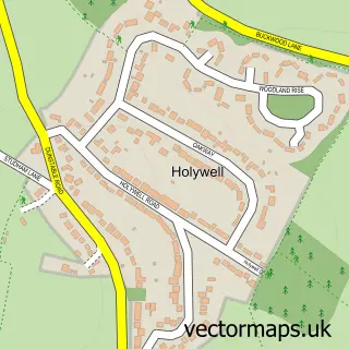
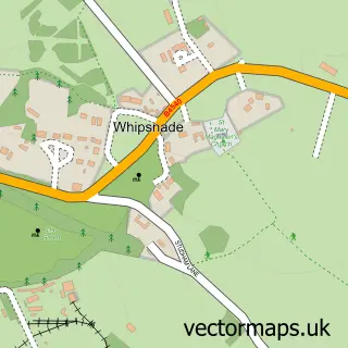
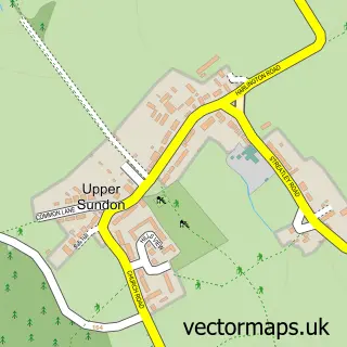
Nearby street map samples around Chaul End

More street maps in Bedfordshire
750 metre map area coverage
Boundary, postcode and point of interest information for the 750m x 750m rectangle centred on this sample map.
Boundaries containing map centre
Constituency: Luton South and South Bedfordshire Co Const
District: Central Bedfordshire
Icb: NHS Central East ICB
Parish: Caddington CP
Police Force: bedfordshire
Postcode District: LU1
Postcode Sector: LU1 4
Ward: Caddington Ward
Nearby boundaries intersecting sample
No additional intersecting boundaries found.
Postcode coverage
POI category counts
Home Developer: 2
Martial Arts Club: 2
Web Designer: 2
Community Center: 1
Dance School: 1
Party Supply: 1
Sample points of interest
- Lyons Community Centre
- Performing Arts Collective Limited
- Caddington Woods
- Redrow - Caddington Woods, Chaul End
- Luton and Milton Keynes Martial Arts
- Schools of Kung Fu Luton
- Make it Perfect Softplay and Bouncy Castles
- Quillations Website Design
- Quillations Website Design
Create a larger editable map of Chaul End
This sample shows only a 750 metre area. To create a larger map of Chaul End, use our map builder to choose your own coverage area, add titles and download editable SVG, PDF and PNG files.
Create a custom map of Chaul End