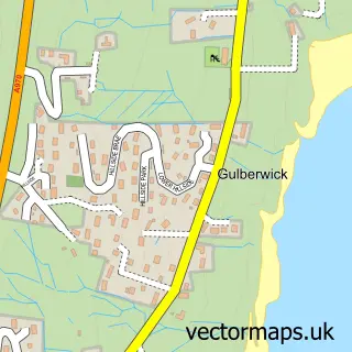
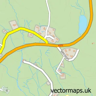
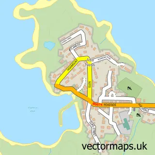
This Lerwick street map is a detailed vector street map covering a 750m x 750m area. Select a larger area to create and download your own vector street map of Lerwick.
The 750-metre map sample for Lerwick covers 168 mapped buildings and approximately 17.3 km of road detail, of which 38 named roads are named. The immediate area includes 1 GP surgery within 2 miles and 2 MOT stations within 2 miles. The wider area around Lerwick features 9 tourism points of interest, 12 food and drink venues and 8 hotels. To create a larger or custom map of Lerwick, the map builder lets you define your own coverage area and download editable SVG, PDF and PNG files.
Create a larger editable map of Lerwick
Choose any area you need and generate a high-quality vector map instantly. Perfect for print, planning, design, business and personal use.

This Lerwick street map in Shetland is available as downloadable SVG, PDF and PNG map files, or as a printed map for planning, business, display, education, local information and design work. You can also create a larger custom map area using the map selector.
What this Lerwick map sample shows
Lerwick lies within Shetland Islands parish, part of Lerwick North ward in the Shetland Islands local authority area. The postcode geography for this area includes the ZE postcode area, the ZE1 postcode district and the ZE1 0 postcode sector. Local NHS services are provided through Shetland.
Local features near Lerwick
Within 2 milesAmenities and services in and around Lerwick.
Administrative and postcode information for Lerwick
Lerwick lies within Shetland Islands parish, part of Lerwick North ward in the Shetland Islands local authority area. The postcode geography for this area includes the ZE postcode area, the ZE1 postcode district and the ZE1 0 postcode sector. Local NHS services are provided through Shetland.
Nearby street map samples around Lerwick

More street maps in Shetland
750 metre map area coverage
Boundary, postcode and point of interest information for the 750m x 750m rectangle centred on this sample map.
Boundaries containing map centre
Constituency: Orkney and Shetland Co Const
District: Shetland Islands
Icb: Shetland
Postcode District: ZE1
Postcode Sector: ZE1 0
Ward: Lerwick North and Bressay Ward
Nearby boundaries intersecting sample
Ward: Lerwick South Ward
Postcode coverage
POI category counts
Professional Services: 10
Charity Organization: 8
Hotel: 8
Bed And Breakfast: 7
Flowers And Gifts Shop: 7
Clothing Store: 6
Community Services Non Profits: 6
Cafe: 5
Hair Salon: 5
Beauty And Spa: 4
Sample points of interest
- Norlande Guest House
- Rockvilla Guest House
- RSM
- Service Force - George Robertson
- Richard Gibson Architects
- Macaulay Miller Architecture
- Née Gibson Architects
- Aa' Fired Up
- Eldamato
- Loose Ends Shop Ltd
- Bank of Scotland
- Santander
Create a larger editable map of Lerwick
This sample shows only a 750 metre area. To create a larger map of Lerwick, use our map builder to choose your own coverage area, add titles and download editable SVG, PDF and PNG files.
Create a custom map of Lerwick