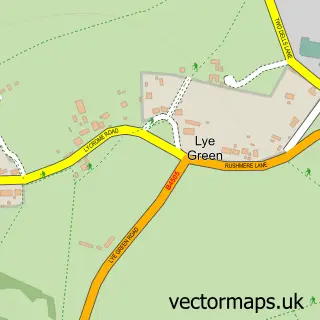
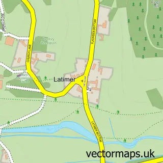
This Leyhill Common street map is a detailed vector street map covering a 750m x 750m area. Select a larger area to create and download your own vector street map of Leyhill Common.
The 750-metre map sample for Leyhill Common covers 132 mapped buildings and approximately 14.4 km of road detail, of which 11 named roads are named. The immediate area includes 1 school, 4 GP surgeries within 2 miles, 3 pubs and 9 MOT stations within 2 miles. The wider area around Leyhill Common features 3 food and drink venues. To create a larger or custom map of Leyhill Common, the map builder lets you define your own coverage area and download editable SVG, PDF and PNG files.
Create a larger editable map of Leyhill Common
Choose any area you need and generate a high-quality vector map instantly. Perfect for print, planning, design, business and personal use.

This Leyhill Common street map in Buckinghamshire is available as downloadable SVG, PDF and PNG map files, or as a printed map for planning, business, display, education, local information and design work. You can also create a larger custom map area using the map selector.
What this Leyhill Common map sample shows
Leyhill Common lies within Latimer And Ley Hill Cp parish, part of Ashley Green, Latimer And Chenies ward in the Buckinghamshire local authority area. The postcode geography for this area includes the HP postcode area, the HP5 postcode district and the HP5 1 postcode sector. Residents fall under the Nhs Buckinghamshire, Oxfordshire And Berkshire West Integrated Care Board for NHS services.
Local features near Leyhill Common
Within 2 milesAmenities and services in and around Leyhill Common.
Administrative and postcode information for Leyhill Common
Leyhill Common lies within Latimer And Ley Hill Cp parish, part of Ashley Green, Latimer And Chenies ward in the Buckinghamshire local authority area. The postcode geography for this area includes the HP postcode area, the HP5 postcode district and the HP5 1 postcode sector. Residents fall under the Nhs Buckinghamshire, Oxfordshire And Berkshire West Integrated Care Board for NHS services.
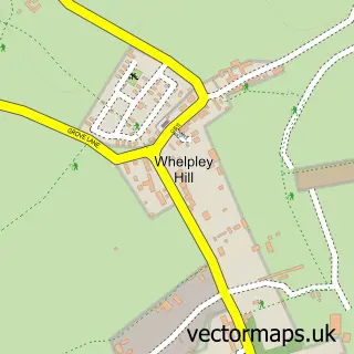
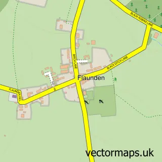
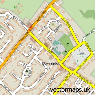
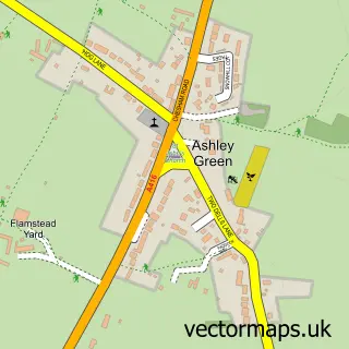
Nearby street map samples around Leyhill Common

More street maps in Buckinghamshire
750 metre map area coverage
Boundary, postcode and point of interest information for the 750m x 750m rectangle centred on this sample map.
Boundaries containing map centre
Constituency: Chesham and Amersham Co Const
District: Buckinghamshire
Icb: NHS Thames Valley ICB
Parish: Latimer and Ley Hill CP
Police Force: thames valley
Postcode District: HP5
Postcode Sector: HP5 1
Ward: Chesham South Ward
Nearby boundaries intersecting sample
Postcode Sector: HP5 3
Postcode coverage
POI category counts
Pub: 3
Caterer: 2
Business Office Supplies And Stationery: 1
Carpet Cleaning: 1
Community Services Non Profits: 1
Dance School: 1
Electronics Repair Shop: 1
Elementary School: 1
Food Beverage Service Distribution: 1
Gardener: 1
Sample points of interest
- Design Masters
- Elite Cleaning Services
- Cocktailmaker
- Cocktailmaker Ltd.
- Brainfood Community and More Creative Tim
- Emily's School of Dance
- P D M Repairs
- Ley Hill School
- Versatile Chef
- Horticon Landscape Contractors
- Jazzercise
- Save Our Swan - Ley Hill Community Pub Ltd
Create a larger editable map of Leyhill Common
This sample shows only a 750 metre area. To create a larger map of Leyhill Common, use our map builder to choose your own coverage area, add titles and download editable SVG, PDF and PNG files.
Create a custom map of Leyhill Common