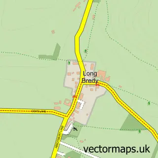
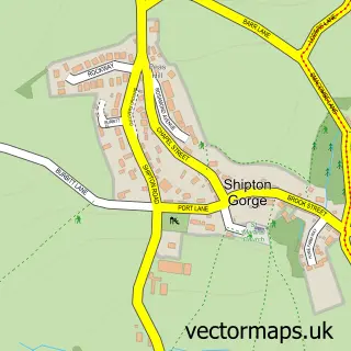
This Litton Cheney street map is a detailed vector street map covering a 750m x 750m area. Select a larger area to create and download your own vector street map of Litton Cheney.
The 750-metre map sample for Litton Cheney covers 152 mapped buildings and approximately 11.0 km of road detail, of which 10 named roads are named. To create a larger or custom map of Litton Cheney, the map builder lets you define your own coverage area and download editable SVG, PDF and PNG files.
Create a larger editable map of Litton Cheney
Choose any area you need and generate a high-quality vector map instantly. Perfect for print, planning, design, business and personal use.

This Litton Cheney street map in Dorset is available as downloadable SVG, PDF and PNG map files, or as a printed map for planning, business, display, education, local information and design work. You can also create a larger custom map area using the map selector.
What this Litton Cheney map sample shows
Litton Cheney lies within Litton Cheney Cp parish, part of Chesil Bank ward in the Dorset local authority area. The postcode geography for this area includes the DT postcode area, the DT2 postcode district and the DT2 9 postcode sector. Residents fall under the Nhs Dorset Integrated Care Board for NHS services.
Administrative and postcode information for Litton Cheney
The local authority covering Litton Cheney is Dorset, within the county of Dorset. The settlement lies within Chesil Bank ward and Litton Cheney Cp civil parish. The DT2 postcode district and DT2 9 postcode sector serve the immediate area. NHS provision in the area is delivered through Dorset County Hospital Nhs Foundation Trust.
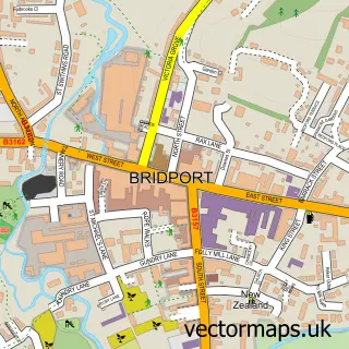
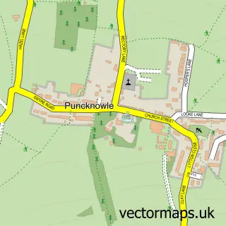
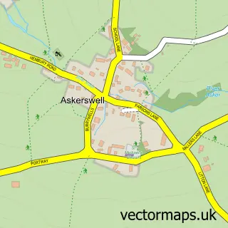
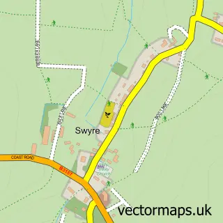
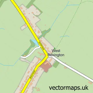
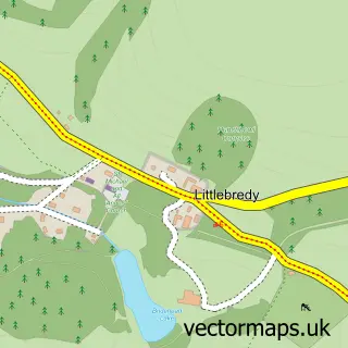
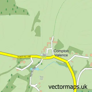
Nearby street map samples around Litton Cheney

More street maps in Dorset
750 metre map area coverage
Boundary, postcode and point of interest information for the 750m x 750m rectangle centred on this sample map.
Boundaries containing map centre
Constituency: West Dorset Co Const
District: Dorset
Icb: NHS Dorset ICB
Parish: Litton Cheney CP
Police Force: dorset
Postcode District: DT2
Postcode Sector: DT2 9
Ward: Chesil Bank Ward
Nearby boundaries intersecting sample
Parish: Long Bredy and Kingston Russell CP
Postcode coverage
POI category counts
Anglican Church: 1
Building Supply Store: 1
Church Cathedral: 1
Contractor: 1
Counseling And Mental Health: 1
Engineering Services: 1
Home Developer: 1
Home Improvement Store: 1
Landscape Architect: 1
Retail: 1
Sample points of interest
- Litton Cheney: St Mary's
- C G Fry & Son
- St Marys Church Litton Cheney
- CG Fry and Son
- Sally Barmes
- MPZ Groundcare
- CG Fry & Son Ltd.
- Lemongrass Trading Company
- Paperwhite Garden Design
- Tractors & Commercials
- Bride Valley Yoga
Create a larger editable map of Litton Cheney
This sample shows only a 750 metre area. To create a larger map of Litton Cheney, use our map builder to choose your own coverage area, add titles and download editable SVG, PDF and PNG files.
Create a custom map of Litton Cheney