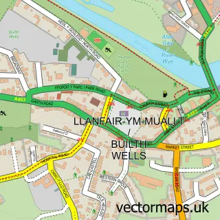
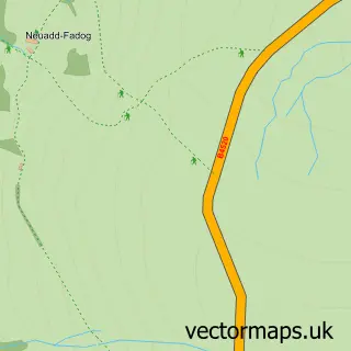
This Llanelwedd street map is a detailed vector street map covering a 750m x 750m area. Select a larger area to create and download your own vector street map of Llanelwedd.
The 750-metre map sample for Llanelwedd covers 58 mapped buildings and approximately 24.9 km of road detail, of which 1 named road are named. The immediate area includes 1 school and 3 MOT stations within 2 miles. To create a larger or custom map of Llanelwedd, the map builder lets you define your own coverage area and download editable SVG, PDF and PNG files.
Create a larger editable map of Llanelwedd
Choose any area you need and generate a high-quality vector map instantly. Perfect for print, planning, design, business and personal use.

This Llanelwedd street map in Powys is available as downloadable SVG, PDF and PNG map files, or as a printed map for planning, business, display, education, local information and design work. You can also create a larger custom map area using the map selector.
What this Llanelwedd map sample shows
Llanelwedd lies within Llanelwedd Community parish, part of Llanelwedd ward in the Powys - Powys local authority area. The postcode geography for this area includes the LD postcode area, the LD2 postcode district and the LD2 3 postcode sector. Residents fall under the Powys Teaching Health Board for NHS services.
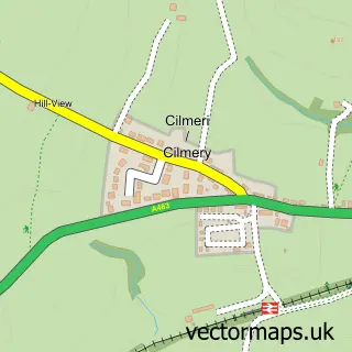
Local features near Llanelwedd
Within 2 milesAmenities and services in and around Llanelwedd.
Administrative and postcode information for Llanelwedd
The local authority covering Llanelwedd is Powys - Powys, within the county of Powys. The settlement lies within Llanelwedd ward and Llanelwedd Community civil parish. The LD2 postcode district and LD2 3 postcode sector serve the immediate area. NHS provision in the area is delivered through Powys Teaching Health Board.
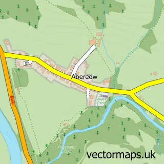
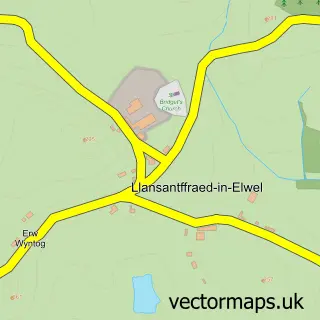
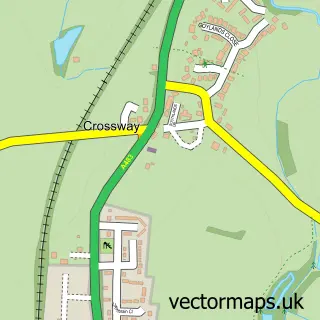
Nearby street map samples around Llanelwedd

More street maps in Powys
750 metre map area coverage
Boundary, postcode and point of interest information for the 750m x 750m rectangle centred on this sample map.
Boundaries containing map centre
Constituency: Brecon, Radnor and Cwm Tawe Co Const
District: Powys - Powys
Icb: Powys Teaching
Parish: Llanelwedd Community
Police Force: dyfed-powys
Postcode District: LD2
Postcode Sector: LD2 3
Nearby boundaries intersecting sample
Parish: Builth Community
Postcode coverage
POI category counts
Anglican Church: 1
Building Supply Store: 1
Commercial Industrial: 1
Community Center: 1
Elementary School: 1
Fast Food Restaurant: 1
Gas Station: 1
Home Service: 1
Masonry Concrete: 1
Professional Services: 1
Sample points of interest
- St Matthews Church
- CEMEX UK Materials
- Hanson Aggregrates
- Llanelwedd Jubilee Hall
- Llanelwedd Church in Wales Primary School
- Little Chef
- BUILTH WELLS SERVICE Station
- Tina's Tots Childminding
- CEMEX
- Wales Y F C Centre
- Heidelberg Materials Asphalt
- Builth Wells railway station
Create a larger editable map of Llanelwedd
This sample shows only a 750 metre area. To create a larger map of Llanelwedd, use our map builder to choose your own coverage area, add titles and download editable SVG, PDF and PNG files.
Create a custom map of Llanelwedd