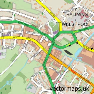
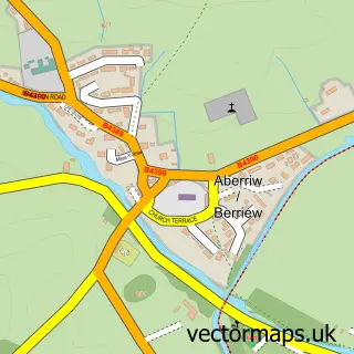
This Llanfair Caereinion street map is a detailed vector street map covering a 750m x 750m area. Select a larger area to create and download your own vector street map of Llanfair Caereinion.
The 750-metre map sample for Llanfair Caereinion covers 220 mapped buildings and approximately 16.4 km of road detail, of which 18 named roads are named. The immediate area includes 1 school, 1 railway station, 3 pubs and 1 MOT station. The wider area around Llanfair Caereinion features 1 tourism point of interest, 3 food and drink venues and 1 hotel. To create a larger or custom map of Llanfair Caereinion, the map builder lets you define your own coverage area and download editable SVG, PDF and PNG files.
Create a larger editable map of Llanfair Caereinion
Choose any area you need and generate a high-quality vector map instantly. Perfect for print, planning, design, business and personal use.

This Llanfair Caereinion street map in Powys is available as downloadable SVG, PDF and PNG map files, or as a printed map for planning, business, display, education, local information and design work. You can also create a larger custom map area using the map selector.
What this Llanfair Caereinion map sample shows
Llanfair Caereinion lies within Llanfair Caereinion Community parish, part of Llanfair Caereinion ward in the Powys - Powys local authority area. The postcode geography for this area includes the SY postcode area, the SY21 postcode district and the SY21 0 postcode sector. Residents fall under the Powys Teaching Health Board for NHS services.
Local features near Llanfair Caereinion
Within 2 milesAmenities and services in and around Llanfair Caereinion.
Administrative and postcode information for Llanfair Caereinion
The local authority covering Llanfair Caereinion is Powys - Powys, within the county of Powys. The settlement lies within Llanfair Caereinion ward and Llanfair Caereinion Community civil parish. The SY21 postcode district and SY21 0 postcode sector serve the immediate area. NHS provision in the area is delivered through Powys Teaching Health Board.
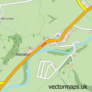
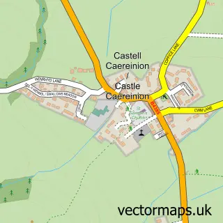
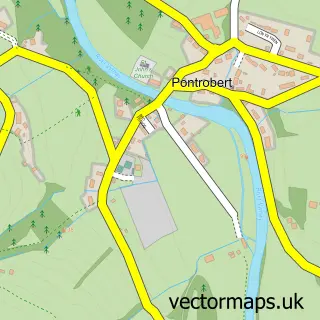
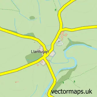
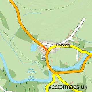
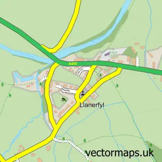
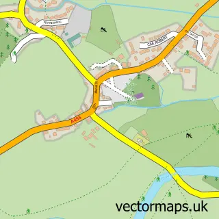
Nearby street map samples around Llanfair Caereinion

More street maps in Powys
750 metre map area coverage
Boundary, postcode and point of interest information for the 750m x 750m rectangle centred on this sample map.
Boundaries containing map centre
Constituency: Montgomeryshire and Glyndwr Co Const
District: Powys - Powys
Icb: Powys Teaching
Parish: Llanfair Caereinion Community
Police Force: dyfed-powys
Postcode District: SY21
Postcode Sector: SY21 0
Nearby boundaries intersecting sample
Postcode Sector: SY21 9
Postcode coverage
POI category counts
Convenience Store: 4
Pub: 3
Automotive Repair: 2
Church Cathedral: 2
Doctor: 2
Hair Salon: 2
Post Office: 2
Train Station: 2
Active Life: 1
Alternative Medicine: 1
Sample points of interest
- Canolfan Hamdden Caereinion Leisure Centre
- Practis Osteopathig Cyf
- Llanfair United FC
- Gwyn Lewis
- J & M Whittingham
- NatWest
- Top Town Barbers
- May'd Beautiful Beauty and Training Academy
- Mid Wales Stoves
- New Life Church Llanfair
- St Mary's Church
- Walton Build
Create a larger editable map of Llanfair Caereinion
This sample shows only a 750 metre area. To create a larger map of Llanfair Caereinion, use our map builder to choose your own coverage area, add titles and download editable SVG, PDF and PNG files.
Create a custom map of Llanfair Caereinion