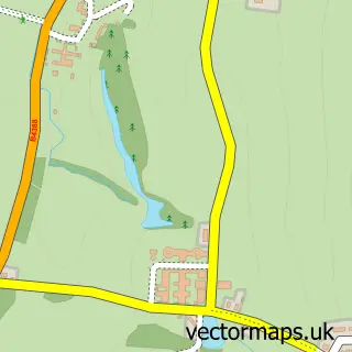
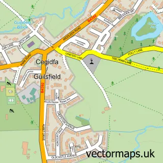
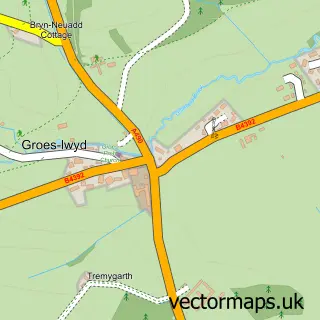
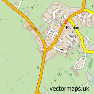
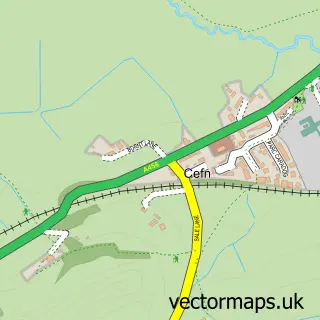
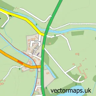
This Welshpool street map is a detailed vector street map covering a 750m x 750m area. Select a larger area to create and download your own vector street map of Welshpool.
The 750-metre map sample for Welshpool covers 321 mapped buildings and approximately 18.7 km of road detail, of which 42 named roads are named. The immediate area includes 9 pubs and 4 MOT stations within 2 miles. The wider area around Welshpool features 8 tourism points of interest, 20 food and drink venues and 4 hotels. To create a larger or custom map of Welshpool, the map builder lets you define your own coverage area and download editable SVG, PDF and PNG files.
Create a larger editable map of Welshpool
Choose any area you need and generate a high-quality vector map instantly. Perfect for print, planning, design, business and personal use.

This Welshpool street map in Powys is available as downloadable SVG, PDF and PNG map files, or as a printed map for planning, business, display, education, local information and design work. You can also create a larger custom map area using the map selector.
What this Welshpool map sample shows
Welshpool lies within Welshpool Community parish, part of Welshpool Llanerchyddol ward in the Powys - Powys local authority area. The postcode geography for this area includes the SY postcode area, the SY21 postcode district and the SY21 7 postcode sector. Residents fall under the Powys Teaching Health Board for NHS services.
Local features near Welshpool
Within 2 milesAmenities and services in and around Welshpool.
Administrative and postcode information for Welshpool
Welshpool lies within Welshpool Community parish, part of Welshpool Llanerchyddol ward in the Powys - Powys local authority area. The postcode geography for this area includes the SY postcode area, the SY21 postcode district and the SY21 7 postcode sector. Residents fall under the Powys Teaching Health Board for NHS services.
Nearby street map samples around Welshpool

More street maps in Powys
750 metre map area coverage
Boundary, postcode and point of interest information for the 750m x 750m rectangle centred on this sample map.
Boundaries containing map centre
Constituency: Montgomeryshire and Glyndwr Co Const
District: Powys - Powys
Icb: Powys Teaching
Parish: Welshpool Community
Police Force: dyfed-powys
Postcode District: SY21
Postcode Sector: SY21 7
Nearby boundaries intersecting sample
No additional intersecting boundaries found.
Postcode coverage
POI category counts
Flowers And Gifts Shop: 10
Beauty Salon: 9
Pub: 9
Church Cathedral: 7
Clothing Store: 7
Professional Services: 7
Antique Store: 6
Hair Salon: 6
Real Estate Agent: 6
Retail: 6
Sample points of interest
- BPAS Powys
- Azets - Accountants & Business Advisors
- Cadwallader and Co
- Welshpool and Newtown Powys Karate
- Insight Research
- KA Agri Ltd
- Welshpool Ambulance Station
- St Mary's Church
- Ashmans Antiques and Old Lace Est 1975
- British Heart Foundation
- F E Anderson & Son
- Hope House Tŷ Gobaith Children's Hospices Welshpool Shop
Create a larger editable map of Welshpool
This sample shows only a 750 metre area. To create a larger map of Welshpool, use our map builder to choose your own coverage area, add titles and download editable SVG, PDF and PNG files.
Create a custom map of Welshpool