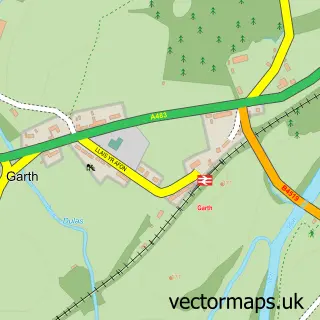
This Llanwrtyd Wells street map is a detailed vector street map covering a 750m x 750m area. Select a larger area to create and download your own vector street map of Llanwrtyd Wells.
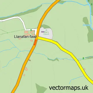
The 750-metre map sample for Llanwrtyd Wells covers 176 mapped buildings and approximately 13.5 km of road detail, of which 14 named roads are named. The immediate area includes 1 school, 1 GP surgery within 2 miles and 2 pubs. The wider area around Llanwrtyd Wells features 2 tourism points of interest, 5 food and drink venues and 4 hotels. To create a larger or custom map of Llanwrtyd Wells, the map builder lets you define your own coverage area and download editable SVG, PDF and PNG files.
Create a larger editable map of Llanwrtyd Wells
Choose any area you need and generate a high-quality vector map instantly. Perfect for print, planning, design, business and personal use.

This Llanwrtyd Wells street map in Powys is available as downloadable SVG, PDF and PNG map files, or as a printed map for planning, business, display, education, local information and design work. You can also create a larger custom map area using the map selector.
What this Llanwrtyd Wells map sample shows
Llanwrtyd Wells lies within Llanwrtyd Wells Community parish, part of Llanwrtyd Wells ward in the Powys - Powys local authority area. The postcode geography for this area includes the LD postcode area, the LD5 postcode district and the LD5 4 postcode sector. Residents fall under the Powys Teaching Health Board for NHS services.
Local features near Llanwrtyd Wells
Within 2 milesAmenities and services in and around Llanwrtyd Wells.
Administrative and postcode information for Llanwrtyd Wells
Llanwrtyd Wells lies within Llanwrtyd Wells Community parish, part of Llanwrtyd Wells ward in the Powys - Powys local authority area. The postcode geography for this area includes the LD postcode area, the LD5 postcode district and the LD5 4 postcode sector. Residents fall under the Powys Teaching Health Board for NHS services.
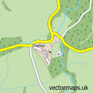
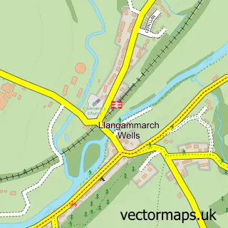
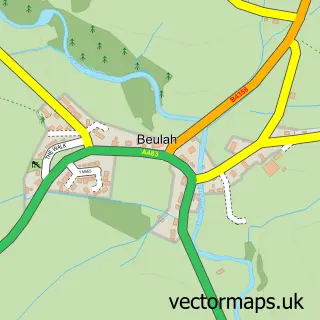
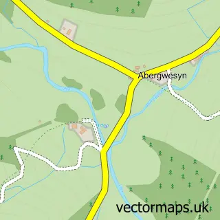
Nearby street map samples around Llanwrtyd Wells

More street maps in Powys
750 metre map area coverage
Boundary, postcode and point of interest information for the 750m x 750m rectangle centred on this sample map.
Boundaries containing map centre
Constituency: Brecon, Radnor and Cwm Tawe Co Const
District: Powys - Powys
Icb: Powys Teaching
Parish: Llanwrtyd Wells Community
Police Force: dyfed-powys
Postcode District: LD5
Postcode Sector: LD5 4
Nearby boundaries intersecting sample
No additional intersecting boundaries found.
Postcode coverage
POI category counts
Bed And Breakfast: 6
Hotel: 4
Library: 3
Arts And Crafts: 2
Assisted Living Facility: 2
Electrician: 2
Gift Shop: 2
Museum: 2
Pharmacy: 2
Pub: 2
Sample points of interest
- Berni Benton Art & Glass at Cerdyn Villa B&B
- Shades of Green Victorian Shop
- Brynirfon Care Home
- Tracs Care
- Barclays ATM
- Ardwyn House
- Bryncelyn Guesthouse
- Lasswade Country House Hotel
- New Hall
- New Hall Guest House
- Riverbank Bed and Breakfast
- Cammarch Valley
Create a larger editable map of Llanwrtyd Wells
This sample shows only a 750 metre area. To create a larger map of Llanwrtyd Wells, use our map builder to choose your own coverage area, add titles and download editable SVG, PDF and PNG files.
Create a custom map of Llanwrtyd Wells