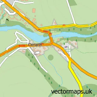
This Llechryd street map is a detailed vector street map covering a 750m x 750m area. Select a larger area to create and download your own vector street map of Llechryd.
The 750-metre map sample for Llechryd covers 146 mapped buildings and approximately 14.0 km of road detail, of which 2 named roads are named. The immediate area includes 1 pub and 1 MOT station, with 2 within 2 miles. The wider area around Llechryd features 1 food and drink venue and 1 hotel. To create a larger or custom map of Llechryd, the map builder lets you define your own coverage area and download editable SVG, PDF and PNG files.
Create a larger editable map of Llechryd
Choose any area you need and generate a high-quality vector map instantly. Perfect for print, planning, design, business and personal use.

This Llechryd street map in Dyfed is available as downloadable SVG, PDF and PNG map files, or as a printed map for planning, business, display, education, local information and design work. You can also create a larger custom map area using the map selector.
What this Llechryd map sample shows
Llechryd lies within Llangoedmor Community parish, part of Pen-Parc ward in the Sir Ceredigion - Ceredigion local authority area. The postcode geography for this area includes the SA postcode area, the SA43 postcode district and the SA43 2 postcode sector. Residents fall under the Hywel Dda University Health Board for NHS services.
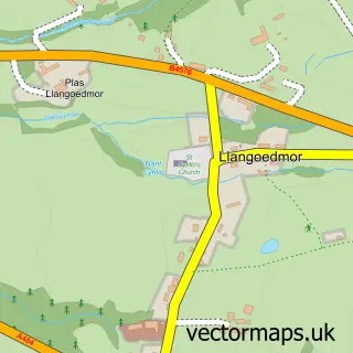
Local features near Llechryd
Within 2 milesAmenities and services in and around Llechryd.
Administrative and postcode information for Llechryd
The local authority covering Llechryd is Sir Ceredigion - Ceredigion, within the county of Dyfed. The settlement lies within Pen-Parc ward and Llangoedmor Community civil parish. The SA43 postcode district and SA43 2 postcode sector serve the immediate area. NHS provision in the area is delivered through Hywel Dda University Health Board.
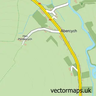
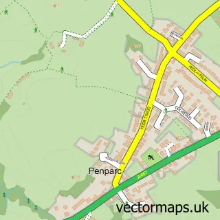
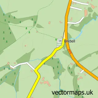
Nearby street map samples around Llechryd

More street maps in Dyfed
750 metre map area coverage
Boundary, postcode and point of interest information for the 750m x 750m rectangle centred on this sample map.
Boundaries containing map centre
Constituency: Ceredigion Preseli Co Const
District: Sir Ceredigion - Ceredigion
Icb: Hywel Dda
Parish: Llangoedmor Community
Police Force: dyfed-powys
Postcode District: SA43
Postcode Sector: SA43 2
Nearby boundaries intersecting sample
District: Sir Benfro - Pembrokeshire
Parish: Manordeifi Community
Postcode coverage
POI category counts
Convenience Store: 2
Gas Station: 2
Atms: 1
Automotive Repair: 1
Bed And Breakfast: 1
Building Contractor: 1
Church Cathedral: 1
Driving School: 1
Farm: 1
Fish And Chips Restaurant: 1
Sample points of interest
- PayPoint
- Unipart Car Care Centre
- Seven stars inn
- Norton Construction
- Chapel Tabernacle
- Premier
- Premier Siop Y Pentref
- Gavian MCT
- Pencraig Fold
- Coracle Fish and Chips
- Gulf
- Murco
Create a larger editable map of Llechryd
This sample shows only a 750 metre area. To create a larger map of Llechryd, use our map builder to choose your own coverage area, add titles and download editable SVG, PDF and PNG files.
Create a custom map of Llechryd