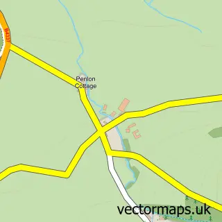
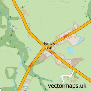
This Llwyn-y-groes street map is a detailed vector street map covering a 750m x 750m area. Select a larger area to create and download your own vector street map of Llwyn-y-groes.
The 750-metre map sample for Llwyn-y-groes covers 54 mapped buildings and approximately 9.5 km of road detail. The wider area around Llwyn-y-groes features 1 tourism point of interest and 1 campsite within 2 miles. To create a larger or custom map of Llwyn-y-groes, the map builder lets you define your own coverage area and download editable SVG, PDF and PNG files.
Create a larger editable map of Llwyn-y-groes
Choose any area you need and generate a high-quality vector map instantly. Perfect for print, planning, design, business and personal use.

This Llwyn-y-groes street map in Dyfed is available as downloadable SVG, PDF and PNG map files, or as a printed map for planning, business, display, education, local information and design work. You can also create a larger custom map area using the map selector.
What this Llwyn-y-groes map sample shows
Llwyn-y-groes lies within Nantcwnlle Community parish, part of Llangybi ward in the Sir Ceredigion - Ceredigion local authority area. The postcode geography for this area includes the SY postcode area, the SY25 postcode district and the SY25 6 postcode sector. Residents fall under the Hywel Dda University Health Board for NHS services.
Local features near Llwyn-y-groes
Within 2 milesAmenities and services in and around Llwyn-y-groes.
Administrative and postcode information for Llwyn-y-groes
Llwyn-y-groes lies within Nantcwnlle Community parish, part of Llangybi ward in the Sir Ceredigion - Ceredigion local authority area. The postcode geography for this area includes the SY postcode area, the SY25 postcode district and the SY25 6 postcode sector. Residents fall under the Hywel Dda University Health Board for NHS services.
Nearby street map samples around Llwyn-y-groes

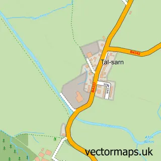
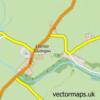
More street maps in Dyfed
750 metre map area coverage
Boundary, postcode and point of interest information for the 750m x 750m rectangle centred on this sample map.
Boundaries containing map centre
Constituency: Ceredigion Preseli Co Const
District: Sir Ceredigion - Ceredigion
Icb: Hywel Dda
Parish: Nantcwnlle Community
Police Force: dyfed-powys
Postcode District: SY25
Postcode Sector: SY25 6
Nearby boundaries intersecting sample
Postcode District: SA48
Postcode Sector: SA48 8
Postcode coverage
POI category counts
Building Supply Store: 1
Campground: 1
Chimney Sweep: 1
Flowers And Gifts Shop: 1
Holiday Rental Home: 1
Printing Equipment And Supply: 1
Printing Services: 1
Sample points of interest
- David Martley Furniture and Joinery
- Shepherds Huts Wales
- Sion the Sweep
- Jane Beck Welsh Blankets
- Shepherds Huts Wales
- G G Designs
- GG Designs
Create a larger editable map of Llwyn-y-groes
This sample shows only a 750 metre area. To create a larger map of Llwyn-y-groes, use our map builder to choose your own coverage area, add titles and download editable SVG, PDF and PNG files.
Create a custom map of Llwyn-y-groes