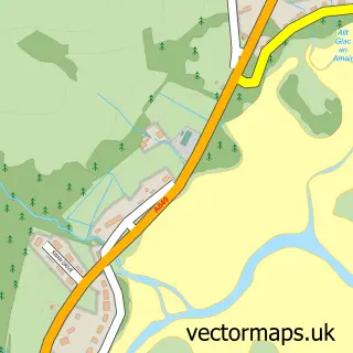
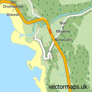
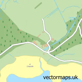
This Lochaline street map is a detailed vector street map covering a 750m x 750m area. Select a larger area to create and download your own vector street map of Lochaline.
The 750-metre map sample for Lochaline covers 44 mapped buildings and approximately 13.9 km of road detail, of which 4 named roads are named. The wider area around Lochaline features 2 food and drink venues and 2 hotels. To create a larger or custom map of Lochaline, the map builder lets you define your own coverage area and download editable SVG, PDF and PNG files.
Create a larger editable map of Lochaline
Choose any area you need and generate a high-quality vector map instantly. Perfect for print, planning, design, business and personal use.

This Lochaline street map in Inverness is available as downloadable SVG, PDF and PNG map files, or as a printed map for planning, business, display, education, local information and design work. You can also create a larger custom map area using the map selector.
What this Lochaline map sample shows
Lochaline lies within Highland parish, part of Fort William And Ardnamurchan ward in the Highland local authority area. The postcode geography for this area includes the PA postcode area, the PA80 postcode district and the PA80 5 postcode sector. Residents fall under the Highland for NHS services.
Local features near Lochaline
Within 2 milesAmenities and services in and around Lochaline.
Administrative and postcode information for Lochaline
The local authority covering Lochaline is Highland, within the county of Inverness. The settlement lies within Fort William And Ardnamurchan ward and Highland civil parish. The PA80 postcode district and PA80 5 postcode sector serve the immediate area. NHS provision in the area is delivered through Highland.
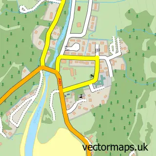
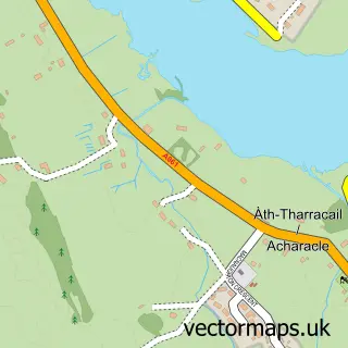
Nearby street map samples around Lochaline

More street maps in Inverness
750 metre map area coverage
Boundary, postcode and point of interest information for the 750m x 750m rectangle centred on this sample map.
Boundaries containing map centre
Constituency: Argyll, Bute and South Lochaber Co Const
District: Highland
Icb: Highland
Postcode District: PA80
Postcode Sector: PA80 5
Ward: Fort William and Ardnamurchan Ward
Nearby boundaries intersecting sample
No additional intersecting boundaries found.
Postcode coverage
POI category counts
Hotel: 2
Shipping Center: 2
Bed And Breakfast: 1
Cabin: 1
Cafe: 1
Community Center: 1
Convenience Store: 1
Electrician: 1
Elementary School: 1
Family Practice: 1
Sample points of interest
- Castle View B&B Morvern
- Highland Basecamp
- Lochaline Dive Centre 02 cafe and bunkhouse
- Lochaline Village Hall
- Lochaline Stores
- Highland Electrician
- Lochaline Primary School
- Morvern Medical Centre
- J Boult Designs
- Lochaline Snack Bar
- Glasgow Morvern Memorial Cottage
- Lochaline Hotel
Create a larger editable map of Lochaline
This sample shows only a 750 metre area. To create a larger map of Lochaline, use our map builder to choose your own coverage area, add titles and download editable SVG, PDF and PNG files.
Create a custom map of Lochaline