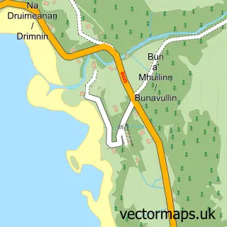
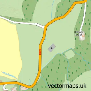
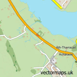
This Tobermory street map is a detailed vector street map covering a 750m x 750m area. Select a larger area to create and download your own vector street map of Tobermory.
The 750-metre map sample for Tobermory covers 126 mapped buildings and approximately 13.6 km of road detail, of which 18 named roads are named. The immediate area includes 1 GP surgery within 2 miles, 1 pub and 1 MOT station. The wider area around Tobermory features 10 tourism points of interest, 12 food and drink venues and 10 hotels. To create a larger or custom map of Tobermory, the map builder lets you define your own coverage area and download editable SVG, PDF and PNG files.
Create a larger editable map of Tobermory
Choose any area you need and generate a high-quality vector map instantly. Perfect for print, planning, design, business and personal use.

This Tobermory street map in Argyll and Bute is available as downloadable SVG, PDF and PNG map files, or as a printed map for planning, business, display, education, local information and design work. You can also create a larger custom map area using the map selector.
What this Tobermory map sample shows
Tobermory lies within Argyll And Bute parish, part of Oban South And The Isles ward in the Argyll And Bute local authority area. Residents fall under the Highland for NHS services.
Local features near Tobermory
Within 2 milesAmenities and services in and around Tobermory.
Administrative and postcode information for Tobermory
Tobermory lies within Argyll And Bute parish, part of Oban South And The Isles ward in the Argyll And Bute local authority area. Residents fall under the Highland for NHS services.
Nearby street map samples around Tobermory

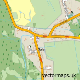
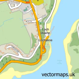
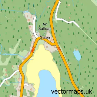
More street maps in Argyll and Bute
750 metre map area coverage
Boundary, postcode and point of interest information for the 750m x 750m rectangle centred on this sample map.
Boundaries containing map centre
Constituency: Argyll, Bute and South Lochaber Co Const
District: Argyll and Bute
Icb: Highland
Postcode District: PA75
Postcode Sector: PA75 6
Ward: Oban South and the Isles Ward
Nearby boundaries intersecting sample
No additional intersecting boundaries found.
Postcode coverage
POI category counts
Bed And Breakfast: 14
Hotel: 10
Restaurant: 9
Flowers And Gifts Shop: 6
Holiday Rental Home: 5
Landmark And Historical Building: 4
Art Gallery: 3
Boat Tours: 3
Hostel: 3
Tours: 3
Sample points of interest
- Mull Aquarium
- Thorne Wyness Architects
- Nina Tans Studio
- The Picture Gallery
- Tobermory Gallery Shop
- Hebridean Lodge shop
- The Cooperative Food (G4S) Tobermory, Tobermory
- Tobermory Bakery
- Clydesdale Bank
- Virgin Money
- The Mishnish
- Calgary
Create a larger editable map of Tobermory
This sample shows only a 750 metre area. To create a larger map of Tobermory, use our map builder to choose your own coverage area, add titles and download editable SVG, PDF and PNG files.
Create a custom map of Tobermory