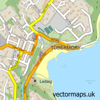
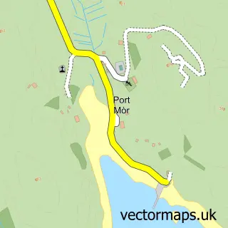
This Kilchoan street map is a detailed vector street map covering a 750m x 750m area. Select a larger area to create and download your own vector street map of Kilchoan.
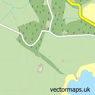
The 750-metre map sample for Kilchoan covers 39 mapped buildings and approximately 5.8 km of road detail, of which 1 named road are named. The wider area around Kilchoan features 1 tourism point of interest, 4 hotels and 1 campsite within 2 miles. To create a larger or custom map of Kilchoan, the map builder lets you define your own coverage area and download editable SVG, PDF and PNG files.
Create a larger editable map of Kilchoan
Choose any area you need and generate a high-quality vector map instantly. Perfect for print, planning, design, business and personal use.

This Kilchoan street map in Inverness is available as downloadable SVG, PDF and PNG map files, or as a printed map for planning, business, display, education, local information and design work. You can also create a larger custom map area using the map selector.
What this Kilchoan map sample shows
Kilchoan lies within Highland parish, part of Fort William And Ardnamurchan ward in the Highland local authority area. The postcode geography for this area includes the PH postcode area, the PH36 postcode district and the PH36 4 postcode sector. Residents fall under the Highland for NHS services.
Local features near Kilchoan
Within 2 milesAmenities and services in and around Kilchoan.
Administrative and postcode information for Kilchoan
The local authority covering Kilchoan is Highland, within the county of Inverness. The settlement lies within Fort William And Ardnamurchan ward and Highland civil parish. The PH36 postcode district and PH36 4 postcode sector serve the immediate area. NHS provision in the area is delivered through Highland.
Nearby street map samples around Kilchoan

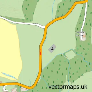
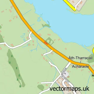
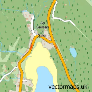
More street maps in Inverness
750 metre map area coverage
Boundary, postcode and point of interest information for the 750m x 750m rectangle centred on this sample map.
Boundaries containing map centre
Constituency: Argyll, Bute and South Lochaber Co Const
District: Highland
Icb: Highland
Postcode District: PH36
Postcode Sector: PH36 4
Ward: Fort William and Ardnamurchan Ward
Nearby boundaries intersecting sample
No additional intersecting boundaries found.
Postcode coverage
POI category counts
Hotel: 4
Holiday Rental Home: 2
Art Gallery: 1
Attractions And Activities: 1
Bed And Breakfast: 1
Community Center: 1
Flowers And Gifts Shop: 1
Information Technology Company: 1
Sports Club And League: 1
Sample points of interest
- Kilchoan Crafts & Cafe
- West Ardnamurchan Community Garden
- Skipper's Cottage B&B
- Kilchoan Community Centre
- West Coast Crafts & Gift Shop
- Comraich Log House Ardnamurchan
- Steading Holidays
- Ardnamurchan Estate
- Kilchoan House Hotel
- Muin, Shepherds Hut Kilchoan
- Torr Solais
- Oxford Abstracts
Create a larger editable map of Kilchoan
This sample shows only a 750 metre area. To create a larger map of Kilchoan, use our map builder to choose your own coverage area, add titles and download editable SVG, PDF and PNG files.
Create a custom map of Kilchoan