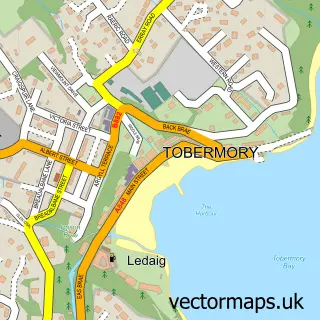
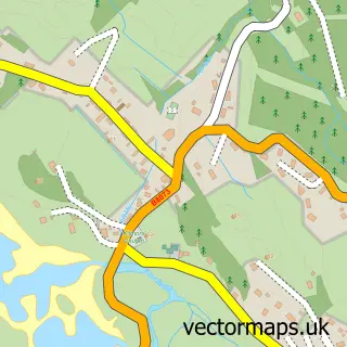
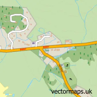
This Arinagour street map is a detailed vector street map covering a 750m x 750m area. Select a larger area to create and download your own vector street map of Arinagour.
The 750-metre map sample for Arinagour covers 34 mapped buildings and approximately 6.2 km of road detail, of which 3 named roads are named. The immediate area includes 1 GP surgery. The wider area around Arinagour features 2 food and drink venues and 2 hotels. To create a larger or custom map of Arinagour, the map builder lets you define your own coverage area and download editable SVG, PDF and PNG files.
Create a larger editable map of Arinagour
Choose any area you need and generate a high-quality vector map instantly. Perfect for print, planning, design, business and personal use.

This Arinagour street map in Argyll and Bute is available as downloadable SVG, PDF and PNG map files, or as a printed map for planning, business, display, education, local information and design work. You can also create a larger custom map area using the map selector.
What this Arinagour map sample shows
Arinagour lies within Argyll And Bute parish, part of Oban South And The Isles ward in the Argyll And Bute local authority area. The postcode geography for this area includes the PA postcode area, the PA78 postcode district and the PA78 6 postcode sector. Residents fall under the Highland for NHS services.
Local features near Arinagour
Within 2 milesAmenities and services in and around Arinagour.
Administrative and postcode information for Arinagour
Arinagour lies within Argyll And Bute parish, part of Oban South And The Isles ward in the Argyll And Bute local authority area. The postcode geography for this area includes the PA postcode area, the PA78 postcode district and the PA78 6 postcode sector. Residents fall under the Highland for NHS services.
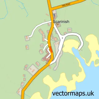
Nearby street map samples around Arinagour

More street maps in Argyll and Bute
750 metre map area coverage
Boundary, postcode and point of interest information for the 750m x 750m rectangle centred on this sample map.
Boundaries containing map centre
Constituency: Argyll, Bute and South Lochaber Co Const
District: Argyll and Bute
Icb: Highland
Postcode District: PA78
Postcode Sector: PA78 6
Ward: Oban South and the Isles Ward
Nearby boundaries intersecting sample
No additional intersecting boundaries found.
Postcode coverage
POI category counts
Cafe: 2
Hotel: 2
Art Gallery: 1
Beach: 1
Bed And Breakfast: 1
Charity Organization: 1
Clothing Store: 1
Community Center: 1
Convenience Store: 1
Distillery: 1
Sample points of interest
- Kip Poulson
- Toraston Beach
- Tigh na Mara Guesthouse Isle of Coll
- Island Cafe
- The Island Cafe
- Development Coll
- Ross of Coll
- An Cridhe
- Costcutter
- Isle of Coll Distillery
- Coll Medical Practice (Isle of Coll)
- Arinagour Primary School
Create a larger editable map of Arinagour
This sample shows only a 750 metre area. To create a larger map of Arinagour, use our map builder to choose your own coverage area, add titles and download editable SVG, PDF and PNG files.
Create a custom map of Arinagour