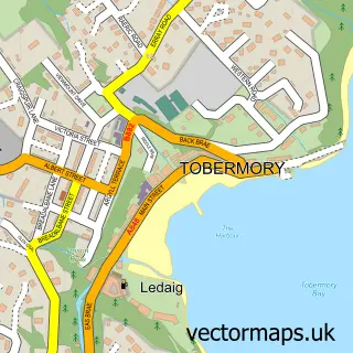
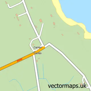
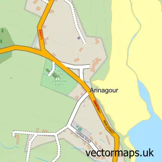
This Sgairinis street map is a detailed vector street map covering a 750m x 750m area. Select a larger area to create and download your own vector street map of Sgairinis.
The 750-metre map sample for Sgairinis covers 36 mapped buildings and approximately 6.9 km of road detail, of which 1 named road are named. The immediate area includes 1 GP surgery within 2 miles. The wider area around Sgairinis features 2 tourism points of interest, 1 food and drink venue and 1 hotel. To create a larger or custom map of Sgairinis, the map builder lets you define your own coverage area and download editable SVG, PDF and PNG files.
Create a larger editable map of Sgairinis
Choose any area you need and generate a high-quality vector map instantly. Perfect for print, planning, design, business and personal use.

This Sgairinis street map in Argyll and Bute is available as downloadable SVG, PDF and PNG map files, or as a printed map for planning, business, display, education, local information and design work. You can also create a larger custom map area using the map selector.
What this Sgairinis map sample shows
Sgairinis lies within Argyll And Bute parish, part of Oban South And The Isles ward in the Argyll And Bute local authority area. The postcode geography for this area includes the PA postcode area, the PA77 postcode district and the PA77 6 postcode sector. Residents fall under the Highland for NHS services.
Local features near Sgairinis
Within 2 milesAmenities and services in and around Sgairinis.
Administrative and postcode information for Sgairinis
Sgairinis lies within Argyll And Bute parish, part of Oban South And The Isles ward in the Argyll And Bute local authority area. The postcode geography for this area includes the PA postcode area, the PA77 postcode district and the PA77 6 postcode sector. Residents fall under the Highland for NHS services.
Nearby street map samples around Sgairinis

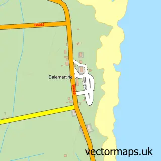
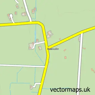
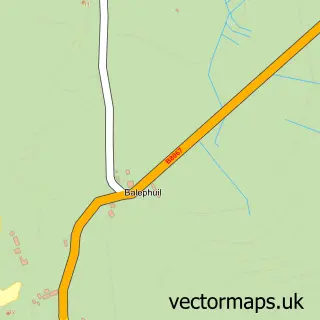
More street maps in Argyll and Bute
750 metre map area coverage
Boundary, postcode and point of interest information for the 750m x 750m rectangle centred on this sample map.
Boundaries containing map centre
Constituency: Argyll, Bute and South Lochaber Co Const
District: Argyll and Bute
Icb: Highland
Postcode District: PA77
Postcode Sector: PA77 6
Ward: Oban South and the Isles Ward
Nearby boundaries intersecting sample
No additional intersecting boundaries found.
Postcode coverage
POI category counts
Bank Credit Union: 2
Shipping Center: 2
Clothing Store: 1
Coffee Shop: 1
Hotel: 1
Korean Grocery Store: 1
Life Coach: 1
Museum: 1
Post Office: 1
Tire Dealer And Repair: 1
Sample points of interest
- RBS Scarinish
- Royal Bank of Scotland
- Buttercups and Clover
- Hebridean Roast
- Scarinish Hotel
- Co-op Food - Tiree
- Bean Nighe
- An Iodhlann - Tiree's Historical Centre
- Post Office
- Post Office-Scarinish
- Scarinish Post Office
- Lighthouse View Tiree
Create a larger editable map of Sgairinis
This sample shows only a 750 metre area. To create a larger map of Sgairinis, use our map builder to choose your own coverage area, add titles and download editable SVG, PDF and PNG files.
Create a custom map of Sgairinis