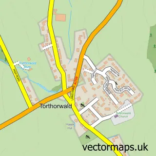
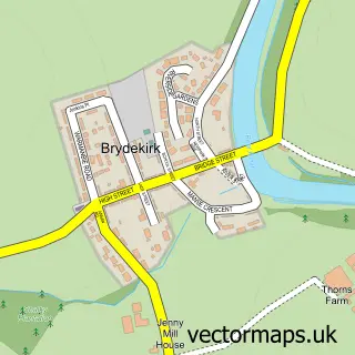
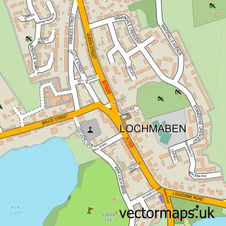
This Lockerbie street map is a detailed vector street map covering a 750m x 750m area. Select a larger area to create and download your own vector street map of Lockerbie.
The 750-metre map sample for Lockerbie covers 444 mapped buildings and approximately 16.5 km of road detail, of which 38 named roads are named. The immediate area includes 1 railway station, 1 GP surgery, 5 pubs and 3 MOT stations, with 5 within 2 miles. The wider area around Lockerbie features 1 tourism point of interest, 9 food and drink venues and 5 hotels. To create a larger or custom map of Lockerbie, the map builder lets you define your own coverage area and download editable SVG, PDF and PNG files.
Create a larger editable map of Lockerbie
Choose any area you need and generate a high-quality vector map instantly. Perfect for print, planning, design, business and personal use.

This Lockerbie street map in Dumfries is available as downloadable SVG, PDF and PNG map files, or as a printed map for planning, business, display, education, local information and design work. You can also create a larger custom map area using the map selector.
What this Lockerbie map sample shows
Lockerbie lies within Dumfries And Galloway parish, part of Annandale North ward in the Dumfries And Galloway local authority area. The postcode geography for this area includes the DG postcode area, the DG11 postcode district and the DG11 2 postcode sector. Residents fall under the Dumfries And Galloway for NHS services.
Local features near Lockerbie
Within 2 milesAmenities and services in and around Lockerbie.
Administrative and postcode information for Lockerbie
Lockerbie lies within Dumfries And Galloway parish, part of Annandale North ward in the Dumfries And Galloway local authority area. The postcode geography for this area includes the DG postcode area, the DG11 postcode district and the DG11 2 postcode sector. Residents fall under the Dumfries And Galloway for NHS services.
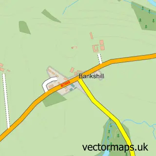
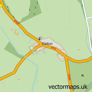
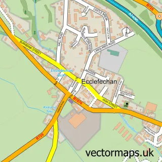
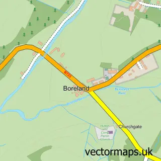
Nearby street map samples around Lockerbie

More street maps in Dumfries
750 metre map area coverage
Boundary, postcode and point of interest information for the 750m x 750m rectangle centred on this sample map.
Boundaries containing map centre
Constituency: Dumfriesshire, Clydesdale and Tweeddale Co Const
District: Dumfries and Galloway
Icb: Dumfries and Galloway
Postcode District: DG11
Postcode Sector: DG11 2
Ward: Annandale North Ward
Nearby boundaries intersecting sample
No additional intersecting boundaries found.
Postcode coverage
POI category counts
Hair Salon: 6
Flowers And Gifts Shop: 5
Hotel: 5
Pub: 5
Bank Credit Union: 4
Beauty Salon: 4
Pharmacy: 4
Professional Services: 4
Train Station: 4
Automotive Repair: 3
Sample points of interest
- The Patch Uppercleuch
- British Red Cross
- Care Visions
- ATM (Post Office)
- Clydesdale Bank
- Harrison & Hetherington
- Ventrolla
- Monster Maps
- Morton Motors
- Blair's Repairs
- McConechys Lockerbie
- Mcconechy's Tyre Service
Create a larger editable map of Lockerbie
This sample shows only a 750 metre area. To create a larger map of Lockerbie, use our map builder to choose your own coverage area, add titles and download editable SVG, PDF and PNG files.
Create a custom map of Lockerbie