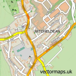
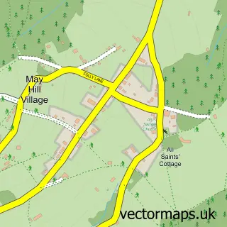
This Longhope street map is a detailed vector street map covering a 750m x 750m area. Select a larger area to create and download your own vector street map of Longhope.
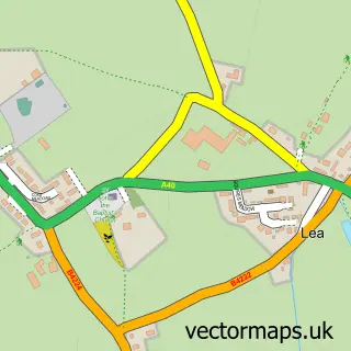
The 750-metre map sample for Longhope covers 227 mapped buildings and approximately 32.2 km of road detail, of which 17 named roads are named. The immediate area includes 1 school, 1 GP surgery within 2 miles, 1 pub and 1 MOT station, with 3 within 2 miles. The wider area around Longhope features 1 tourism point of interest, 1 food and drink venue and 2 hotels. To create a larger or custom map of Longhope, the map builder lets you define your own coverage area and download editable SVG, PDF and PNG files.
Create a larger editable map of Longhope
Choose any area you need and generate a high-quality vector map instantly. Perfect for print, planning, design, business and personal use.

This Longhope street map in Gloucestershire is available as downloadable SVG, PDF and PNG map files, or as a printed map for planning, business, display, education, local information and design work. You can also create a larger custom map area using the map selector.
What this Longhope map sample shows
Longhope lies within Longhope Cp parish, part of Longhope & Huntley ward in the Forest Of Dean District local authority area. The postcode geography for this area includes the GL postcode area, the GL17 postcode district and the GL17 0 postcode sector. Residents fall under the Nhs Gloucestershire Integrated Care Board for NHS services.
Local features near Longhope
Within 2 milesAmenities and services in and around Longhope.
Administrative and postcode information for Longhope
The local authority covering Longhope is Forest Of Dean District, within the county of Gloucestershire. The settlement lies within Longhope & Huntley ward and Longhope Cp civil parish. The GL17 postcode district and GL17 0 postcode sector serve the immediate area. NHS provision in the area is delivered through Gloucestershire Hospitals Nhs Foundation Trust.
Nearby street map samples around Longhope

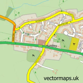
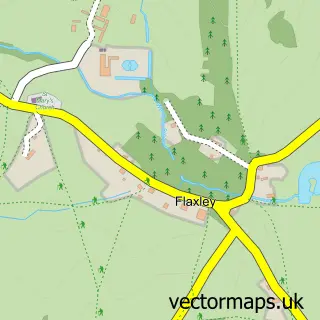
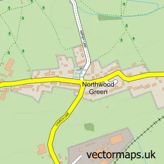
More street maps in Gloucestershire
750 metre map area coverage
Boundary, postcode and point of interest information for the 750m x 750m rectangle centred on this sample map.
Boundaries containing map centre
Constituency: Forest of Dean Co Const
County: Gloucestershire County
District: Forest of Dean District
Icb: NHS Gloucestershire ICB
Parish: Longhope CP
Police Force: gloucestershire
Postcode District: GL17
Postcode Sector: GL17 0
Ward: Longhope & Huntley Ward
Nearby boundaries intersecting sample
No additional intersecting boundaries found.
Postcode coverage
POI category counts
Convenience Store: 3
Automotive Repair: 2
Bakery: 2
Hotel: 2
Jewelry Store: 2
Korean Grocery Store: 2
Sports And Recreation Venue: 2
Amateur Sports Team: 1
Automotive Parts And Accessories: 1
Business Management Services: 1
Sample points of interest
- Longhope Football Club
- WastePartsUK Ltd
- Lms restoration
- Longhope Motor Services
- The Forest Bakehouse
- The Forest Bakehouse
- The Workshop
- The Meat Hut
- Eggcellent Acre
- Rhian Wyman Design
- Central Stores
- Premier
Create a larger editable map of Longhope
This sample shows only a 750 metre area. To create a larger map of Longhope, use our map builder to choose your own coverage area, add titles and download editable SVG, PDF and PNG files.
Create a custom map of Longhope