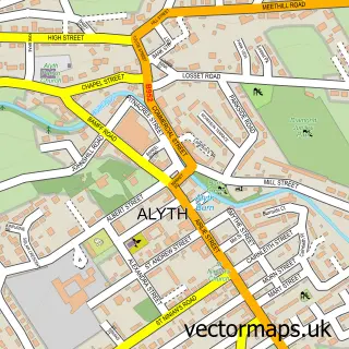
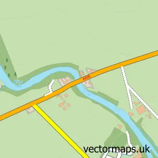
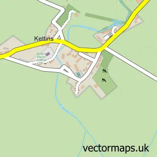
This Meigle street map is a detailed vector street map covering a 750m x 750m area. Select a larger area to create and download your own vector street map of Meigle.
The 750-metre map sample for Meigle covers 187 mapped buildings and approximately 12.1 km of road detail, of which 12 named roads are named. The immediate area includes 2 pubs. The wider area around Meigle features 3 tourism points of interest, 7 food and drink venues and 1 hotel. To create a larger or custom map of Meigle, the map builder lets you define your own coverage area and download editable SVG, PDF and PNG files.
Create a larger editable map of Meigle
Choose any area you need and generate a high-quality vector map instantly. Perfect for print, planning, design, business and personal use.

This Meigle street map in Perth and Kinross is available as downloadable SVG, PDF and PNG map files, or as a printed map for planning, business, display, education, local information and design work. You can also create a larger custom map area using the map selector.
What this Meigle map sample shows
Meigle lies within Perth And Kinross parish, part of Strathmore ward in the Perth And Kinross local authority area. The postcode geography for this area includes the PH postcode area, the PH12 postcode district and the PH12 8 postcode sector. Residents fall under the Tayside for NHS services.
Local features near Meigle
Within 2 milesAmenities and services in and around Meigle.
Administrative and postcode information for Meigle
The local authority covering Meigle is Perth And Kinross, within the county of Perth And Kinross. The settlement lies within Strathmore ward and Perth And Kinross civil parish. The PH12 postcode district and PH12 8 postcode sector serve the immediate area. NHS provision in the area is delivered through Tayside.
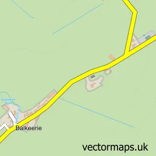
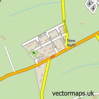
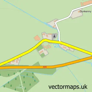
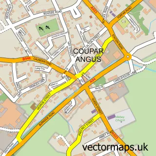
Nearby street map samples around Meigle

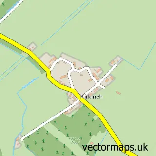
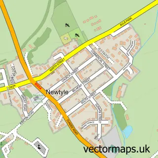
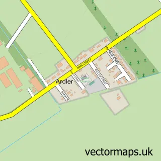

More street maps in Perth and Kinross
750 metre map area coverage
Boundary, postcode and point of interest information for the 750m x 750m rectangle centred on this sample map.
Boundaries containing map centre
Constituency: Angus and Perthshire Glens Co Const
District: Perth and Kinross
Icb: Tayside
Postcode District: PH12
Postcode Sector: PH12 8
Ward: Strathmore Ward
Nearby boundaries intersecting sample
No additional intersecting boundaries found.
Postcode coverage
POI category counts
Coffee Shop: 3
Cafe: 2
Park: 2
Pub: 2
Used Car Dealer: 2
Building Supply Store: 1
Catholic Church: 1
Clock Repair Service: 1
Community Center: 1
Contractor: 1
Sample points of interest
- A Shepherd & Co
- Claudio's Italian Cafe Restaurant
- The Joinery Coffee Shop
- Strathmore
- R A McNiven
- Costa Express
- Flour Coffee Shop & Deli
- Joinery Coffee Shop
- Kinloch Memorial Hall
- Gibson Bathrooms
- SPAR Meigle
- Highland Lodges Scotland
Create a larger editable map of Meigle
This sample shows only a 750 metre area. To create a larger map of Meigle, use our map builder to choose your own coverage area, add titles and download editable SVG, PDF and PNG files.
Create a custom map of Meigle