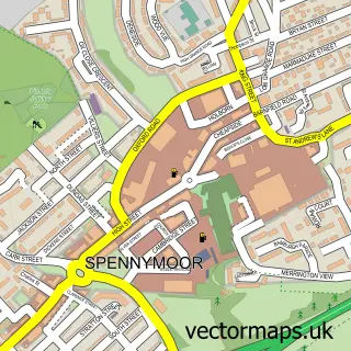
This Middlestone Moor street map is a detailed vector street map covering a 750m x 750m area. Select a larger area to create and download your own vector street map of Middlestone Moor.
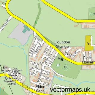
The 750-metre map sample for Middlestone Moor covers 405 mapped buildings and approximately 19.9 km of road detail, of which 29 named roads are named. The immediate area includes 2 GP surgeries within 2 miles and 1 MOT station, with 4 within 2 miles. To create a larger or custom map of Middlestone Moor, the map builder lets you define your own coverage area and download editable SVG, PDF and PNG files.
Create a larger editable map of Middlestone Moor
Choose any area you need and generate a high-quality vector map instantly. Perfect for print, planning, design, business and personal use.

This Middlestone Moor street map in Durham is available as downloadable SVG, PDF and PNG map files, or as a printed map for planning, business, display, education, local information and design work. You can also create a larger custom map area using the map selector.
What this Middlestone Moor map sample shows
Middlestone Moor lies within Spennymoor Cp parish, part of Spennymoor ward in the County Durham local authority area. The postcode geography for this area includes the DL postcode area, the DL16 postcode district and the DL16 6 postcode sector. Residents fall under the Nhs North East And North Cumbria Integrated Care Board for NHS services.
Local features near Middlestone Moor
Within 2 milesAmenities and services in and around Middlestone Moor.
Administrative and postcode information for Middlestone Moor
Middlestone Moor lies within Spennymoor Cp parish, part of Spennymoor ward in the County Durham local authority area. The postcode geography for this area includes the DL postcode area, the DL16 postcode district and the DL16 6 postcode sector. Residents fall under the Nhs North East And North Cumbria Integrated Care Board for NHS services.
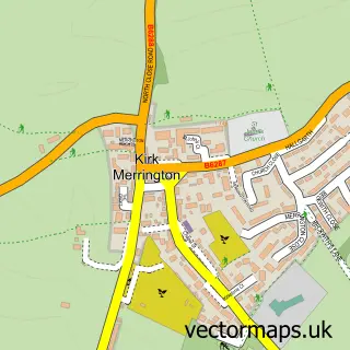
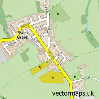
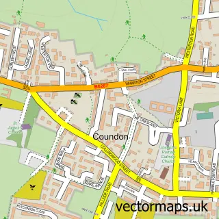
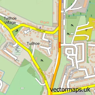
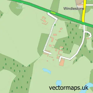
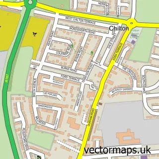
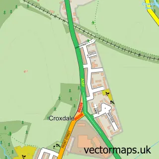
Nearby street map samples around Middlestone Moor

More street maps in Durham
750 metre map area coverage
Boundary, postcode and point of interest information for the 750m x 750m rectangle centred on this sample map.
Boundaries containing map centre
Constituency: Newton Aycliffe and Spennymoor Co Const
District: County Durham
Icb: NHS North East and North Cumbria ICB
Parish: Spennymoor CP
Police Force: durham
Postcode District: DL16
Postcode Sector: DL16 7
Nearby boundaries intersecting sample
Postcode District: DL14
Postcode Sector: DL14 8
Postcode coverage
POI category counts
Bakery: 2
Convenience Store: 2
Food Delivery Service: 2
Post Office: 2
Accommodation: 1
Beauty And Spa: 1
Bridal Shop: 1
Building Supply Store: 1
Candy Store: 1
Community Center: 1
Sample points of interest
- Middlestone Moor
- Hollytree Cupcakes
- Sweetly Sprinkles
- Locks&lashes
- Tiaras and Toppers
- B&A Mini Digger Hire
- Rake's Sweet Treat
- Middlestone Moor Community Centre
- Kash's Off-licence - Middlestone Moor Post Office
- Premier Kash's Convenience Store
- Alice's Shop
- Dragon House
Create a larger editable map of Middlestone Moor
This sample shows only a 750 metre area. To create a larger map of Middlestone Moor, use our map builder to choose your own coverage area, add titles and download editable SVG, PDF and PNG files.
Create a custom map of Middlestone Moor