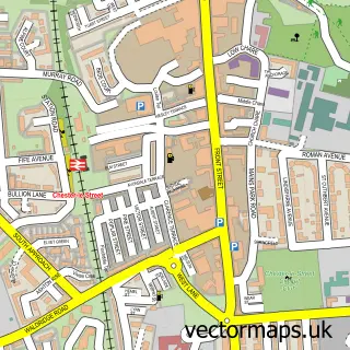
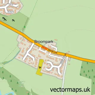
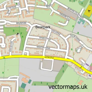
This Durham street map is a detailed vector street map covering a 750m x 750m area. Select a larger area to create and download your own vector street map of Durham.
The 750-metre map sample for Durham covers 175 mapped buildings and approximately 18.7 km of road detail, of which 39 named roads are named. The immediate area includes 1 school, 3 GP surgeries within 2 miles, 23 pubs and 20 MOT stations within 2 miles. The wider area around Durham features 16 tourism points of interest, 77 food and drink venues and 8 hotels. To create a larger or custom map of Durham, the map builder lets you define your own coverage area and download editable SVG, PDF and PNG files.
Create a larger editable map of Durham
Choose any area you need and generate a high-quality vector map instantly. Perfect for print, planning, design, business and personal use.

This Durham street map in Durham is available as downloadable SVG, PDF and PNG map files, or as a printed map for planning, business, display, education, local information and design work. You can also create a larger custom map area using the map selector.
What this Durham map sample shows
Durham lies within Shincliffe Cp parish, part of Durham South ward in the County Durham local authority area. The postcode geography for this area includes the DH postcode area, the DH1 postcode district and the DH1 2 postcode sector. Residents fall under the Nhs North East And North Cumbria Integrated Care Board for NHS services.
Local features near Durham
Within 2 milesAmenities and services in and around Durham.
Administrative and postcode information for Durham
The local authority covering Durham is County Durham, within the county of Durham. The settlement lies within Durham South ward and Shincliffe Cp civil parish. The DH1 postcode district and DH1 2 postcode sector serve the immediate area. NHS provision in the area is delivered through County Durham And Darlington Nhs Foundation Trust.
Nearby street map samples around Durham
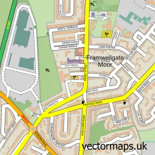
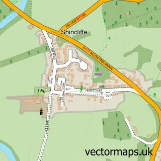
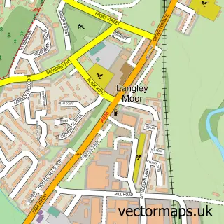
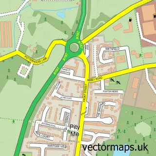
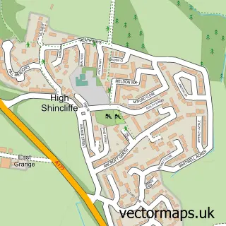
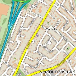
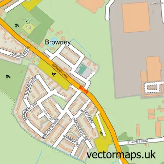
More street maps in Durham
750 metre map area coverage
Boundary, postcode and point of interest information for the 750m x 750m rectangle centred on this sample map.
Boundaries containing map centre
Constituency: City of Durham Co Const
District: County Durham
Icb: NHS North East and North Cumbria ICB
Parish: City of Durham CP
Police Force: durham
Postcode District: DH1
Postcode Sector: DH1 3
Nearby boundaries intersecting sample
Postcode Sector: DH1 1, DH1 4, DH1 5
Postcode coverage
POI category counts
Bar: 32
Clothing Store: 24
Pub: 23
College University: 22
Coffee Shop: 19
Cafe: 18
Barber: 17
Restaurant: 17
Jewelry Store: 15
Real Estate Agent: 14
Sample points of interest
- Student Castle Durham
- EHT Tax Accountants
- Sports King Coaching
- THESECRETPT.com
- Traditional Acupuncture
- Omnicom Solutions
- Kay Stidwell Bowen Technique
- Ren Clinic
- TGI Fridays
- AMC LivingSpring Church, Durham, United Kingdom
- St Margaret's Durham
- Scope Charity Shop
Create a larger editable map of Durham
This sample shows only a 750 metre area. To create a larger map of Durham, use our map builder to choose your own coverage area, add titles and download editable SVG, PDF and PNG files.
Create a custom map of Durham