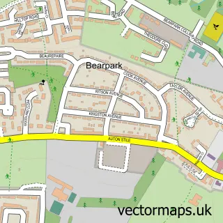
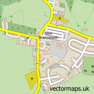
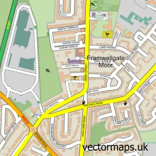
This Broompark street map is a detailed vector street map covering a 750m x 750m area. Select a larger area to create and download your own vector street map of Broompark.
The 750-metre map sample for Broompark covers 120 mapped buildings and approximately 5.2 km of road detail, of which 6 named roads are named. The immediate area includes 2 GP surgeries within 2 miles and 13 MOT stations within 2 miles. The wider area around Broompark features 1 food and drink venue. To create a larger or custom map of Broompark, the map builder lets you define your own coverage area and download editable SVG, PDF and PNG files.
Create a larger editable map of Broompark
Choose any area you need and generate a high-quality vector map instantly. Perfect for print, planning, design, business and personal use.

This Broompark street map in Durham is available as downloadable SVG, PDF and PNG map files, or as a printed map for planning, business, display, education, local information and design work. You can also create a larger custom map area using the map selector.
What this Broompark map sample shows
Broompark lies within Bearpark Cp parish, part of Deerness ward in the County Durham local authority area. The postcode geography for this area includes the DH postcode area, the DH7 postcode district and the DH7 7 postcode sector. Residents fall under the Nhs North East And North Cumbria Integrated Care Board for NHS services.
Local features near Broompark
Within 2 milesAmenities and services in and around Broompark.
Administrative and postcode information for Broompark
The local authority covering Broompark is County Durham, within the county of Durham. The settlement lies within Deerness ward and Bearpark Cp civil parish. The DH7 postcode district and DH7 7 postcode sector serve the immediate area. NHS provision in the area is delivered through County Durham And Darlington Nhs Foundation Trust.
Nearby street map samples around Broompark

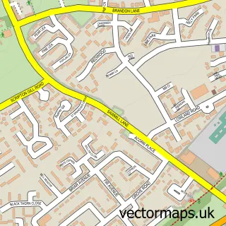
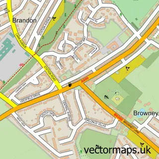
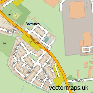
More street maps in Durham
750 metre map area coverage
Boundary, postcode and point of interest information for the 750m x 750m rectangle centred on this sample map.
Boundaries containing map centre
Constituency: City of Durham Co Const
District: County Durham
Icb: NHS North East and North Cumbria ICB
Parish: Brandon and Byshottles CP
Police Force: durham
Postcode District: DH7
Postcode Sector: DH7 7
Nearby boundaries intersecting sample
No additional intersecting boundaries found.
Postcode coverage
POI category counts
Bed And Breakfast: 4
Shopping: 2
Beauty Salon: 1
Bus Service: 1
Coffee Shop: 1
Driving School: 1
It Service And Computer Repair: 1
Pharmacy: 1
Professional Services: 1
Taxi Service: 1
Sample points of interest
- A1 Windscreens
- Broom Farm
- Loves
- My Way Guest House
- My Way Guesthouse
- Care Free Taxis
- Broomhouse Coffee Shop
- Top Gear Driving School
- SDC Development Consultants
- Pharmacy Express Kelloe
- Ken Wilson & Associates
- All Seasons Outdoor Living
Create a larger editable map of Broompark
This sample shows only a 750 metre area. To create a larger map of Broompark, use our map builder to choose your own coverage area, add titles and download editable SVG, PDF and PNG files.
Create a custom map of Broompark