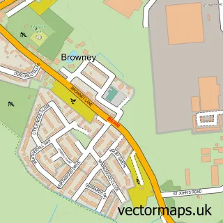
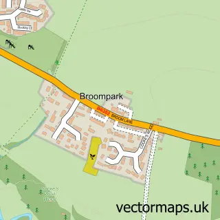
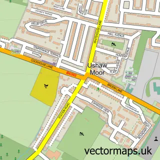
This Meadowfield street map is a detailed vector street map covering a 750m x 750m area. Select a larger area to create and download your own vector street map of Meadowfield.
The 750-metre map sample for Meadowfield covers 438 mapped buildings and approximately 19.2 km of road detail, of which 25 named roads are named. The immediate area includes 1 school, 1 GP surgery, 1 pub and 1 MOT station, with 12 within 2 miles. The wider area around Meadowfield features 2 tourism points of interest and 3 food and drink venues. To create a larger or custom map of Meadowfield, the map builder lets you define your own coverage area and download editable SVG, PDF and PNG files.
Create a larger editable map of Meadowfield
Choose any area you need and generate a high-quality vector map instantly. Perfect for print, planning, design, business and personal use.

This Meadowfield street map in Durham is available as downloadable SVG, PDF and PNG map files, or as a printed map for planning, business, display, education, local information and design work. You can also create a larger custom map area using the map selector.
What this Meadowfield map sample shows
Meadowfield lies within Brandon And Byshottles Cp parish, part of Brandon ward in the County Durham local authority area. The postcode geography for this area includes the DH postcode area, the DH7 postcode district and the DH7 8 postcode sector. Residents fall under the Nhs North East And North Cumbria Integrated Care Board for NHS services.
Local features near Meadowfield
Within 2 milesAmenities and services in and around Meadowfield.
Administrative and postcode information for Meadowfield
Meadowfield lies within Brandon And Byshottles Cp parish, part of Brandon ward in the County Durham local authority area. The postcode geography for this area includes the DH postcode area, the DH7 postcode district and the DH7 8 postcode sector. Residents fall under the Nhs North East And North Cumbria Integrated Care Board for NHS services.
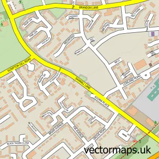
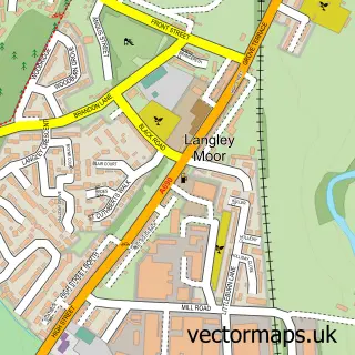
Nearby street map samples around Meadowfield
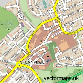

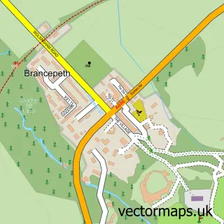
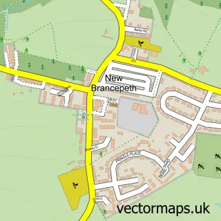
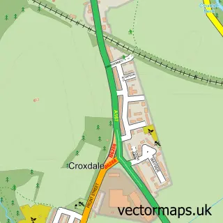
More street maps in Durham
750 metre map area coverage
Boundary, postcode and point of interest information for the 750m x 750m rectangle centred on this sample map.
Boundaries containing map centre
Constituency: City of Durham Co Const
District: County Durham
Icb: NHS North East and North Cumbria ICB
Parish: Brandon and Byshottles CP
Police Force: durham
Postcode District: DH7
Postcode Sector: DH7 8
Nearby boundaries intersecting sample
No additional intersecting boundaries found.
Postcode coverage
POI category counts
Gas Station: 7
Beauty Salon: 6
Doctor: 4
Convenience Store: 3
Education: 3
Elementary School: 3
Automotive Repair: 2
Beauty And Spa: 2
Building Supply Store: 2
Contractor: 2
Sample points of interest
- K S Digital
- Bethell & Co
- Solely Candles
- SZ Khan Newsagents, Meadowfield
- Cp Auto Bodyworx
- Meadowfield Motor Co
- InstaVolt Charging Station
- Meadowfield social club
- Auburn Hair by Ashley
- Beautiful Delicate
- Beauty Rio Verde
- Bespoke Hair & beauty mobile
Create a larger editable map of Meadowfield
This sample shows only a 750 metre area. To create a larger map of Meadowfield, use our map builder to choose your own coverage area, add titles and download editable SVG, PDF and PNG files.
Create a custom map of Meadowfield