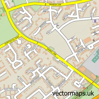
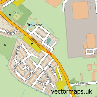
This New Brancepeth street map is a detailed vector street map covering a 750m x 750m area. Select a larger area to create and download your own vector street map of New Brancepeth.
The 750-metre map sample for New Brancepeth covers 215 mapped buildings and approximately 11.7 km of road detail, of which 10 named roads are named. The immediate area includes 1 school, 2 GP surgeries within 2 miles and 11 MOT stations within 2 miles. To create a larger or custom map of New Brancepeth, the map builder lets you define your own coverage area and download editable SVG, PDF and PNG files.
Create a larger editable map of New Brancepeth
Choose any area you need and generate a high-quality vector map instantly. Perfect for print, planning, design, business and personal use.

This New Brancepeth street map in Durham is available as downloadable SVG, PDF and PNG map files, or as a printed map for planning, business, display, education, local information and design work. You can also create a larger custom map area using the map selector.
What this New Brancepeth map sample shows
New Brancepeth lies within Brandon And Byshottles Cp parish, part of Deerness ward in the County Durham local authority area. The postcode geography for this area includes the DH postcode area, the DH7 postcode district and the DH7 7 postcode sector. Residents fall under the Nhs North East And North Cumbria Integrated Care Board for NHS services.
Local features near New Brancepeth
Within 2 milesAmenities and services in and around New Brancepeth.
Administrative and postcode information for New Brancepeth
The local authority covering New Brancepeth is County Durham, within the county of Durham. The settlement lies within Deerness ward and Brandon And Byshottles Cp civil parish. The DH7 postcode district and DH7 7 postcode sector serve the immediate area. NHS provision in the area is delivered through County Durham And Darlington Nhs Foundation Trust.
Nearby street map samples around New Brancepeth
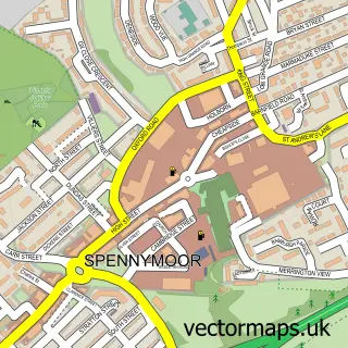

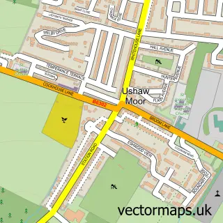
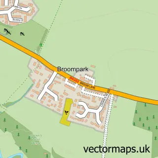
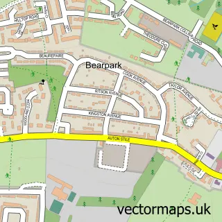
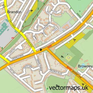
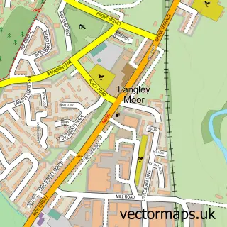
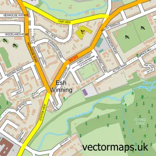
More street maps in Durham
750 metre map area coverage
Boundary, postcode and point of interest information for the 750m x 750m rectangle centred on this sample map.
Boundaries containing map centre
Constituency: City of Durham Co Const
District: County Durham
Icb: NHS North East and North Cumbria ICB
Parish: Brandon and Byshottles CP
Police Force: durham
Postcode District: DH7
Postcode Sector: DH7 7
Nearby boundaries intersecting sample
No additional intersecting boundaries found.
Postcode coverage
POI category counts
Shipping Center: 2
Automotive Services And Repair: 1
Charity Organization: 1
Church Cathedral: 1
Convenience Store: 1
Elementary School: 1
Environmental Testing: 1
Farm: 1
Grocery Store: 1
Hair Salon: 1
Sample points of interest
- vehdiags
- New Brancepeth Village Hall Association
- St Catherine's Church
- Premier
- New Brancepeth Primary Academy
- Asbestos Removal Durham Rd
- Scouthousefarm-newbrancepeth
- Premier Dhillons Convenience New Brancepeth
- Julie Graham Hairdressing
- S.J.West Heating & Plumbing Service
- Higgins Locksmiths
- Idesignonline
Create a larger editable map of New Brancepeth
This sample shows only a 750 metre area. To create a larger map of New Brancepeth, use our map builder to choose your own coverage area, add titles and download editable SVG, PDF and PNG files.
Create a custom map of New Brancepeth