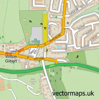
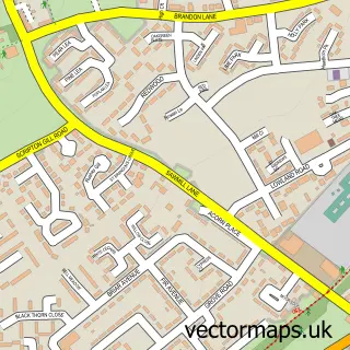
This Bearpark street map is a detailed vector street map covering a 750m x 750m area. Select a larger area to create and download your own vector street map of Bearpark.
The 750-metre map sample for Bearpark covers 354 mapped buildings and approximately 14.8 km of road detail, of which 23 named roads are named. The immediate area includes 1 primary school and 1 secondary school, 1 GP surgery, with 2 within 2 miles, 1 pub and 1 MOT station, with 10 within 2 miles. The wider area around Bearpark features 1 food and drink venue. To create a larger or custom map of Bearpark, the map builder lets you define your own coverage area and download editable SVG, PDF and PNG files.
Create a larger editable map of Bearpark
Choose any area you need and generate a high-quality vector map instantly. Perfect for print, planning, design, business and personal use.

This Bearpark street map in Durham is available as downloadable SVG, PDF and PNG map files, or as a printed map for planning, business, display, education, local information and design work. You can also create a larger custom map area using the map selector.
What this Bearpark map sample shows
Bearpark lies within Bearpark Cp parish, part of Deerness ward in the County Durham local authority area. The postcode geography for this area includes the DH postcode area, the DH7 postcode district and the DH7 7 postcode sector. Residents fall under the Nhs North East And North Cumbria Integrated Care Board for NHS services.
Local features near Bearpark
Within 2 milesAmenities and services in and around Bearpark.
Administrative and postcode information for Bearpark
The local authority covering Bearpark is County Durham, within the county of Durham. The settlement lies within Deerness ward and Bearpark Cp civil parish. The DH7 postcode district and DH7 7 postcode sector serve the immediate area. NHS provision in the area is delivered through County Durham And Darlington Nhs Foundation Trust.
Nearby street map samples around Bearpark
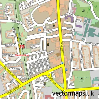

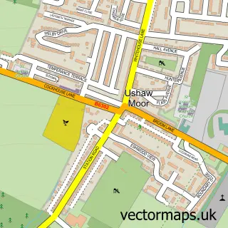
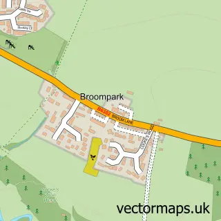
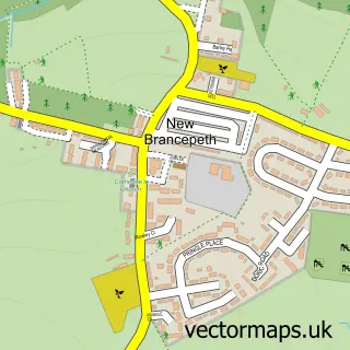
More street maps in Durham
750 metre map area coverage
Boundary, postcode and point of interest information for the 750m x 750m rectangle centred on this sample map.
Boundaries containing map centre
Constituency: City of Durham Co Const
District: County Durham
Icb: NHS North East and North Cumbria ICB
Parish: Bearpark CP
Police Force: durham
Postcode District: DH7
Postcode Sector: DH7 7
Nearby boundaries intersecting sample
Parish: Brandon and Byshottles CP
Postcode coverage
POI category counts
Doctor: 5
Beauty Salon: 4
Education: 3
Indian Restaurant: 3
Convenience Store: 2
Family Practice: 2
Sports Club And League: 2
Accommodation: 1
Anglican Church: 1
Antique Store: 1
Sample points of interest
- The Hacienda,Ushaw Moor
- St Edmund's Church
- Sunset Antiques
- Morrisons Daily - Bear Park, Bear Park
- Andreas Autos
- Reanie's
- 1st Floor Beauty Rooms
- Beauty King Barbara Krol
- Michelle's Nails
- Nueva Aesthetics
- Bearpark Methodist Church
- Durham North Team Churches
Create a larger editable map of Bearpark
This sample shows only a 750 metre area. To create a larger map of Bearpark, use our map builder to choose your own coverage area, add titles and download editable SVG, PDF and PNG files.
Create a custom map of Bearpark