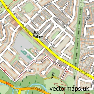
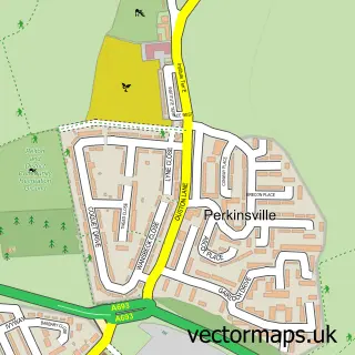
This Chester-le-Street street map is a detailed vector street map covering a 750m x 750m area. Select a larger area to create and download your own vector street map of Chester-le-Street.
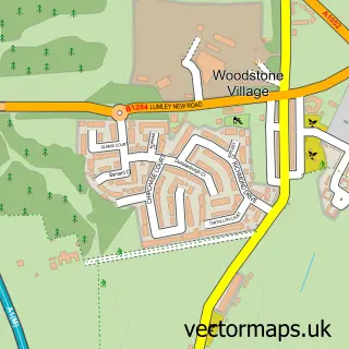
The 750-metre map sample for Chester-le-Street covers 316 mapped buildings and approximately 22.7 km of road detail, of which 57 named roads are named. The immediate area includes 2 primary schools and 1 secondary school, 1 railway station, 1 GP surgery, with 6 within 2 miles and 15 pubs among other local services. The wider area around Chester-le-Street features 3 tourism points of interest and 28 food and drink venues. To create a larger or custom map of Chester-le-Street, the map builder lets you define your own coverage area and download editable SVG, PDF and PNG files.
Create a larger editable map of Chester-le-Street
Choose any area you need and generate a high-quality vector map instantly. Perfect for print, planning, design, business and personal use.

This Chester-le-Street street map in Durham is available as downloadable SVG, PDF and PNG map files, or as a printed map for planning, business, display, education, local information and design work. You can also create a larger custom map area using the map selector.
What this Chester-le-Street map sample shows
Chester-le-Street lies within County Durham parish, part of Chester-Le-Street East ward in the County Durham local authority area. The postcode geography for this area includes the DH postcode area, the DH3 postcode district and the DH3 3 postcode sector. Residents fall under the Nhs North East And North Cumbria Integrated Care Board for NHS services.
Local features near Chester-le-Street
Within 2 milesAmenities and services in and around Chester-le-Street.
Administrative and postcode information for Chester-le-Street
The local authority covering Chester-le-Street is County Durham, within the county of Durham. The settlement lies within Chester-Le-Street East ward and County Durham civil parish. The DH3 postcode district and DH3 3 postcode sector serve the immediate area. NHS provision in the area is delivered through County Durham And Darlington Nhs Foundation Trust.
Nearby street map samples around Chester-le-Street

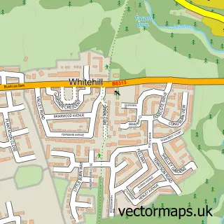
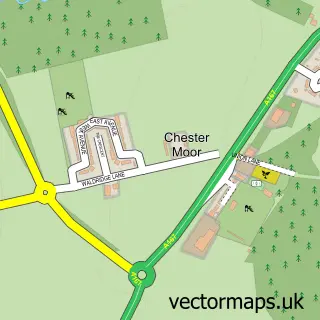
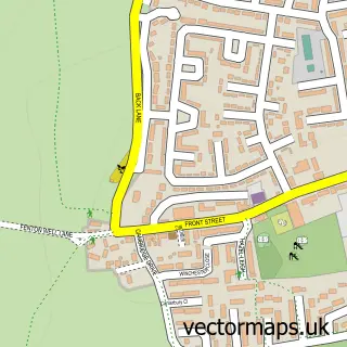
More street maps in Durham
750 metre map area coverage
Boundary, postcode and point of interest information for the 750m x 750m rectangle centred on this sample map.
Boundaries containing map centre
Constituency: North Durham Co Const
District: County Durham
Icb: NHS North East and North Cumbria ICB
Police Force: durham
Postcode District: DH3
Postcode Sector: DH3 3
Nearby boundaries intersecting sample
Postcode District: DH2
Postcode Sector: DH2 2, DH2 3
Postcode coverage
POI category counts
Beauty Salon: 17
Pub: 15
Hair Salon: 12
Gym: 11
Barber: 10
Automotive Repair: 8
Beauty And Spa: 8
Cafe: 8
Professional Services: 8
Charity Organization: 7
Sample points of interest
- Balmoral Accountancy Services Ltd.
- Karen Brewis
- One Stop Payroll Solution
- Guru Holistic Clinic
- Amplifon UK & EIRE
- J Noble & Sons
- Quicksilver
- St Mary and St Cuthbert Parish Church, Chester-le-Street.
- RSPCA
- PDSA Charity Shop
- WillyNillie
- The Craft Cabin Northeast
Create a larger editable map of Chester-le-Street
This sample shows only a 750 metre area. To create a larger map of Chester-le-Street, use our map builder to choose your own coverage area, add titles and download editable SVG, PDF and PNG files.
Create a custom map of Chester-le-Street