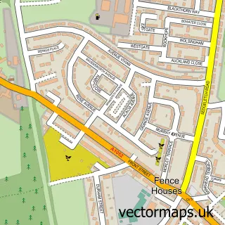
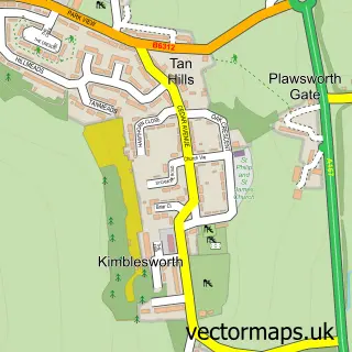
This Great Lumley street map is a detailed vector street map covering a 750m x 750m area. Select a larger area to create and download your own vector street map of Great Lumley.
The 750-metre map sample for Great Lumley covers 291 mapped buildings and approximately 15.4 km of road detail, of which 14 named roads are named. The immediate area includes 1 school, 1 GP surgery, with 3 within 2 miles, 2 pubs and 6 MOT stations within 2 miles. The wider area around Great Lumley features 3 food and drink venues and 1 campsite within 2 miles. To create a larger or custom map of Great Lumley, the map builder lets you define your own coverage area and download editable SVG, PDF and PNG files.
Create a larger editable map of Great Lumley
Choose any area you need and generate a high-quality vector map instantly. Perfect for print, planning, design, business and personal use.

This Great Lumley street map in Durham is available as downloadable SVG, PDF and PNG map files, or as a printed map for planning, business, display, education, local information and design work. You can also create a larger custom map area using the map selector.
What this Great Lumley map sample shows
Great Lumley lies within Great Lumley Cp parish, part of Lumley ward in the County Durham local authority area. The postcode geography for this area includes the DH postcode area, the DH3 postcode district and the DH3 4 postcode sector. Residents fall under the Nhs North East And North Cumbria Integrated Care Board for NHS services.
Local features near Great Lumley
Within 2 milesAmenities and services in and around Great Lumley.
Administrative and postcode information for Great Lumley
Great Lumley lies within Great Lumley Cp parish, part of Lumley ward in the County Durham local authority area. The postcode geography for this area includes the DH postcode area, the DH3 postcode district and the DH3 4 postcode sector. Residents fall under the Nhs North East And North Cumbria Integrated Care Board for NHS services.
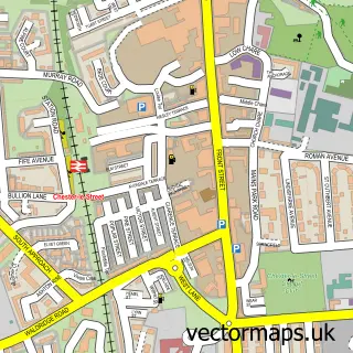
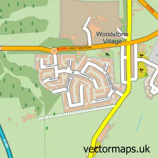
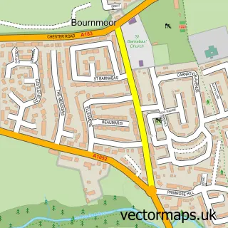
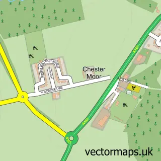
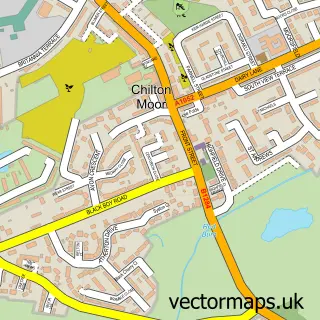
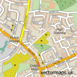
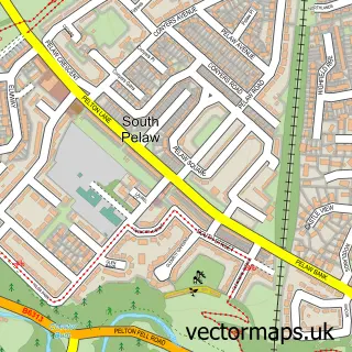
Nearby street map samples around Great Lumley

More street maps in Durham
750 metre map area coverage
Boundary, postcode and point of interest information for the 750m x 750m rectangle centred on this sample map.
Boundaries containing map centre
Constituency: North Durham Co Const
District: County Durham
Icb: NHS North East and North Cumbria ICB
Parish: Great Lumley CP
Police Force: durham
Postcode District: DH3
Postcode Sector: DH3 4
Nearby boundaries intersecting sample
No additional intersecting boundaries found.
Postcode coverage
POI category counts
Community Center: 2
Convenience Store: 2
Dance School: 2
Pub: 2
Advertising Agency: 1
Bank Credit Union: 1
Barber: 1
Beauty Salon: 1
Boutique: 1
Business Management Services: 1
Sample points of interest
- G2 Creative Design
- The Co-operative Bank - Chester-le-Street
- Lumley barber
- Ritual Beauty
- Chic Sister
- G2 Creative Design
- County Durham Joinery
- Fortune Star
- Great Lumley Methodist Church
- Great Lumley Community Centre
- Little Stars Baby & Toddler Group
- Great Lumley Convenience Store
Create a larger editable map of Great Lumley
This sample shows only a 750 metre area. To create a larger map of Great Lumley, use our map builder to choose your own coverage area, add titles and download editable SVG, PDF and PNG files.
Create a custom map of Great Lumley