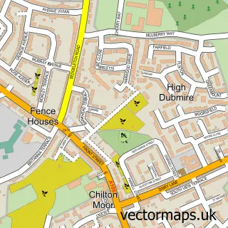
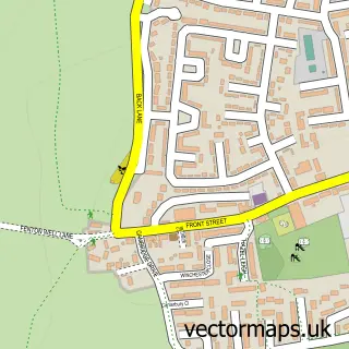
This Chilton Moor street map is a detailed vector street map covering a 750m x 750m area. Select a larger area to create and download your own vector street map of Chilton Moor.
The 750-metre map sample for Chilton Moor covers 389 mapped buildings and approximately 14.9 km of road detail, of which 32 named roads are named. The immediate area includes 7 GP surgeries within 2 miles, 1 pub and 10 MOT stations within 2 miles. The wider area around Chilton Moor features 3 food and drink venues. To create a larger or custom map of Chilton Moor, the map builder lets you define your own coverage area and download editable SVG, PDF and PNG files.
Create a larger editable map of Chilton Moor
Choose any area you need and generate a high-quality vector map instantly. Perfect for print, planning, design, business and personal use.

This Chilton Moor street map in Tyne & Wear is available as downloadable SVG, PDF and PNG map files, or as a printed map for planning, business, display, education, local information and design work. You can also create a larger custom map area using the map selector.
What this Chilton Moor map sample shows
Chilton Moor lies within Sunderland District (B) parish, part of Houghton ward in the Sunderland District (B) local authority area. The postcode geography for this area includes the DH postcode area, the DH4 postcode district and the DH4 5 postcode sector. Residents fall under the Nhs North East And North Cumbria Integrated Care Board for NHS services.
Local features near Chilton Moor
Within 2 milesAmenities and services in and around Chilton Moor.
Administrative and postcode information for Chilton Moor
Chilton Moor lies within Sunderland District (B) parish, part of Houghton ward in the Sunderland District (B) local authority area. The postcode geography for this area includes the DH postcode area, the DH4 postcode district and the DH4 5 postcode sector. Residents fall under the Nhs North East And North Cumbria Integrated Care Board for NHS services.
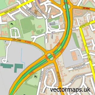
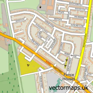
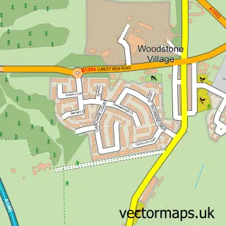
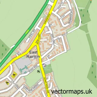
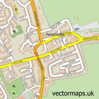
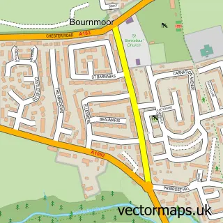
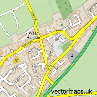
Nearby street map samples around Chilton Moor

More street maps in Tyne & Wear
750 metre map area coverage
Boundary, postcode and point of interest information for the 750m x 750m rectangle centred on this sample map.
Boundaries containing map centre
Constituency: Houghton and Sunderland South Co Const
District: Sunderland District (B)
Icb: NHS North East and North Cumbria ICB
Police Force: northumberland
Postcode District: DH4
Postcode Sector: DH4 6
Ward: Houghton Ward
Nearby boundaries intersecting sample
Parish: Hetton CP
Postcode Sector: DH4 5
Ward: Hetton Ward
Postcode coverage
POI category counts
Convenience Store: 4
Beauty Salon: 3
Gas Station: 3
Pizza Restaurant: 3
Anglican Church: 2
Assisted Living Facility: 2
Bar: 2
Building Supply Store: 2
Coffee Shop: 2
Home Developer: 2
Sample points of interest
- Houghton & Rainton Taxis
- St Andrew
- St. Andrew's Chilton Moor
- Greenbank House
- Pavillion Residential And Nursing Home - Sanctuary Care
- Balloons & Beyond
- Dubmire British Legion Social Club
- Dubmire Royal British Legion Club
- Shado's Kurdish Barbers
- Nail Couture by Lynne
- Elite Beauty
- Glorias hairstyles
Create a larger editable map of Chilton Moor
This sample shows only a 750 metre area. To create a larger map of Chilton Moor, use our map builder to choose your own coverage area, add titles and download editable SVG, PDF and PNG files.
Create a custom map of Chilton Moor