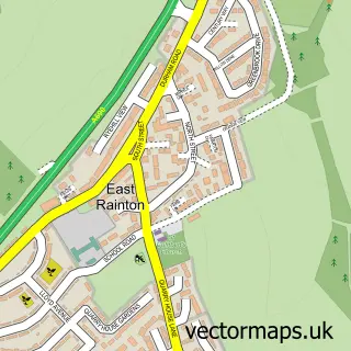
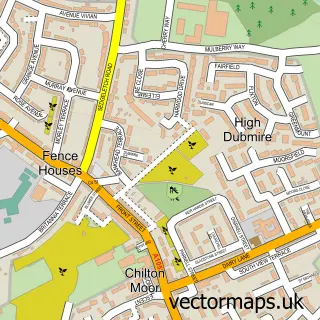
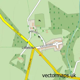
This West Rainton street map is a detailed vector street map covering a 750m x 750m area. Select a larger area to create and download your own vector street map of West Rainton.
The 750-metre map sample for West Rainton covers 363 mapped buildings and approximately 16.5 km of road detail, of which 19 named roads are named. The immediate area includes 1 GP surgery within 2 miles and 1 MOT station within 2 miles. The wider area around West Rainton features 2 campsites within 2 miles. To create a larger or custom map of West Rainton, the map builder lets you define your own coverage area and download editable SVG, PDF and PNG files.
Create a larger editable map of West Rainton
Choose any area you need and generate a high-quality vector map instantly. Perfect for print, planning, design, business and personal use.

This West Rainton street map in Durham is available as downloadable SVG, PDF and PNG map files, or as a printed map for planning, business, display, education, local information and design work. You can also create a larger custom map area using the map selector.
What this West Rainton map sample shows
West Rainton lies within West Rainton And Leamside Cp parish, part of Sherburn ward in the County Durham local authority area. The postcode geography for this area includes the DH postcode area, the DH4 postcode district and the DH4 6 postcode sector. Residents fall under the Nhs North East And North Cumbria Integrated Care Board for NHS services.
Local features near West Rainton
Within 2 milesAmenities and services in and around West Rainton.
Administrative and postcode information for West Rainton
West Rainton lies within West Rainton And Leamside Cp parish, part of Sherburn ward in the County Durham local authority area. The postcode geography for this area includes the DH postcode area, the DH4 postcode district and the DH4 6 postcode sector. Residents fall under the Nhs North East And North Cumbria Integrated Care Board for NHS services.
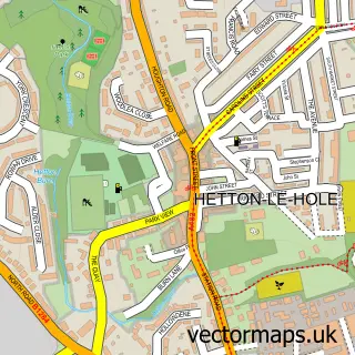
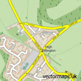
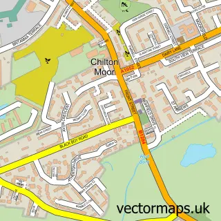
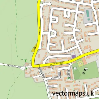
Nearby street map samples around West Rainton

More street maps in Durham
750 metre map area coverage
Boundary, postcode and point of interest information for the 750m x 750m rectangle centred on this sample map.
Boundaries containing map centre
Constituency: City of Durham Co Const
District: County Durham
Icb: NHS North East and North Cumbria ICB
Parish: West Rainton and Leamside CP
Police Force: durham
Postcode District: DH4
Postcode Sector: DH4 6
Nearby boundaries intersecting sample
Constituency: Houghton and Sunderland South Co Const
District: Sunderland District (B)
Parish: Hetton CP
Police Force: northumberland
Postcode District: DH5
Postcode Sector: DH5 9
Ward: Hetton Ward
Postcode coverage
POI category counts
Church Cathedral: 2
Home Service: 2
Italian Restaurant: 2
Atms: 1
Carpenter: 1
Community Center: 1
Community Services Non Profits: 1
Convenience Store: 1
Driving School: 1
Energy Company: 1
Sample points of interest
- PayPoint
- D & D Joiner & Handyman
- Bethel Prayer Fellowship
- St Mary's Church West Rainton
- Jubilee Hall - Community Centre
- West Rainton Jubilee Hall
- Costcutter
- Durham & District Driving School
- OnPath Energy
- Farmhouse Westrainton
- Downey's Fish & Chips
- D and D Joiner and Handyman
Create a larger editable map of West Rainton
This sample shows only a 750 metre area. To create a larger map of West Rainton, use our map builder to choose your own coverage area, add titles and download editable SVG, PDF and PNG files.
Create a custom map of West Rainton