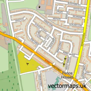
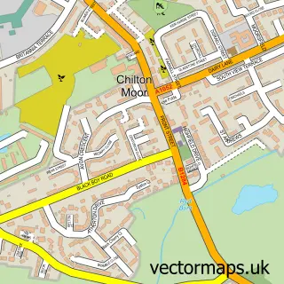
This Woodstone Village street map is a detailed vector street map covering a 750m x 750m area. Select a larger area to create and download your own vector street map of Woodstone Village.
The 750-metre map sample for Woodstone Village covers 147 mapped buildings and approximately 13.7 km of road detail, of which 9 named roads are named. The immediate area includes 5 GP surgeries within 2 miles and 1 MOT station, with 9 within 2 miles. To create a larger or custom map of Woodstone Village, the map builder lets you define your own coverage area and download editable SVG, PDF and PNG files.
Create a larger editable map of Woodstone Village
Choose any area you need and generate a high-quality vector map instantly. Perfect for print, planning, design, business and personal use.

This Woodstone Village street map in Durham is available as downloadable SVG, PDF and PNG map files, or as a printed map for planning, business, display, education, local information and design work. You can also create a larger custom map area using the map selector.
What this Woodstone Village map sample shows
Woodstone Village lies within Little Lumley Cp parish, part of Lumley ward in the County Durham local authority area. The postcode geography for this area includes the DH postcode area, the DH4 postcode district and the DH4 6 postcode sector. Residents fall under the Nhs North East And North Cumbria Integrated Care Board for NHS services.
Local features near Woodstone Village
Within 2 milesAmenities and services in and around Woodstone Village.
Administrative and postcode information for Woodstone Village
Woodstone Village lies within Little Lumley Cp parish, part of Lumley ward in the County Durham local authority area. The postcode geography for this area includes the DH postcode area, the DH4 postcode district and the DH4 6 postcode sector. Residents fall under the Nhs North East And North Cumbria Integrated Care Board for NHS services.
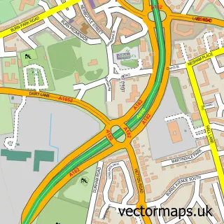
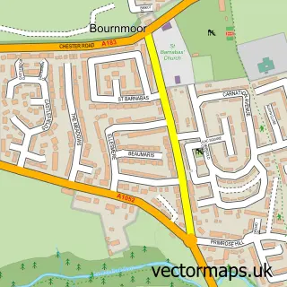
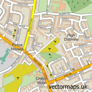
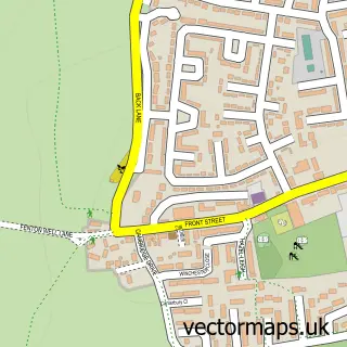
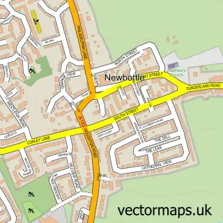
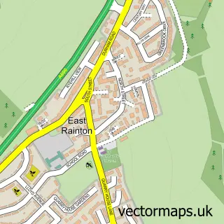
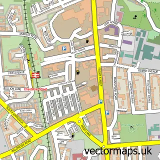
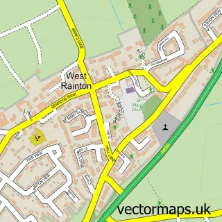
Nearby street map samples around Woodstone Village


More street maps in Durham
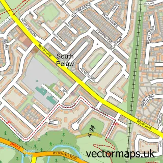
750 metre map area coverage
Boundary, postcode and point of interest information for the 750m x 750m rectangle centred on this sample map.
Boundaries containing map centre
Constituency: North Durham Co Const
District: County Durham
Icb: NHS North East and North Cumbria ICB
Parish: Little Lumley CP
Police Force: durham
Postcode District: DH4
Postcode Sector: DH4 6
Nearby boundaries intersecting sample
Parish: Great Lumley CP
Postcode District: DH3
Postcode Sector: DH3 4
Postcode coverage
POI category counts
Automotive Repair: 3
Professional Services: 3
Auto Body Shop: 2
Building Supply Store: 2
Assisted Living Facility: 1
Automotive: 1
Beauty Salon: 1
Child Care And Day Care: 1
Community Center: 1
Contractor: 1
Sample points of interest
- Four Seasons Healthcare
- Fix Auto Durham
- J D Coachworks
- Classic Campers
- Custom Coachworks
- J & B Coachworks
- JD'Z Car & Commercial Specialist Body Repairs
- Jennifer signature aesthetics
- Milmac Plumbing and Building
- Phoenix Decorating
- Moose & Monkey Childminding
- Fence Houses Community Centre
Create a larger editable map of Woodstone Village
This sample shows only a 750 metre area. To create a larger map of Woodstone Village, use our map builder to choose your own coverage area, add titles and download editable SVG, PDF and PNG files.
Create a custom map of Woodstone Village