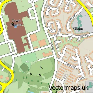
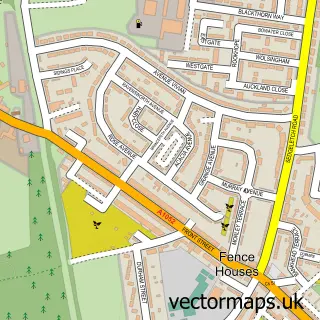
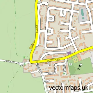
This Penshaw street map is a detailed vector street map covering a 750m x 750m area. Select a larger area to create and download your own vector street map of Penshaw.
The 750-metre map sample for Penshaw covers 529 mapped buildings and approximately 19.2 km of road detail, of which 32 named roads are named. The immediate area includes 3 schools, 4 GP surgeries within 2 miles and 12 MOT stations within 2 miles. The wider area around Penshaw features 1 food and drink venue. To create a larger or custom map of Penshaw, the map builder lets you define your own coverage area and download editable SVG, PDF and PNG files.
Create a larger editable map of Penshaw
Choose any area you need and generate a high-quality vector map instantly. Perfect for print, planning, design, business and personal use.

This Penshaw street map in Tyne & Wear is available as downloadable SVG, PDF and PNG map files, or as a printed map for planning, business, display, education, local information and design work. You can also create a larger custom map area using the map selector.
What this Penshaw map sample shows
Penshaw lies within Sunderland District (B) parish, part of Shiney Row ward in the Sunderland District (B) local authority area. The postcode geography for this area includes the DH postcode area, the DH4 postcode district and the DH4 7 postcode sector. Residents fall under the Nhs North East And North Cumbria Integrated Care Board for NHS services.
Local features near Penshaw
Within 2 milesAmenities and services in and around Penshaw.
Administrative and postcode information for Penshaw
Penshaw lies within Sunderland District (B) parish, part of Shiney Row ward in the Sunderland District (B) local authority area. The postcode geography for this area includes the DH postcode area, the DH4 postcode district and the DH4 7 postcode sector. Residents fall under the Nhs North East And North Cumbria Integrated Care Board for NHS services.
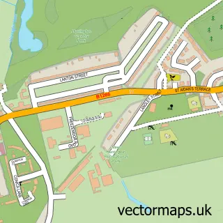
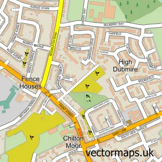
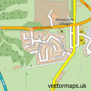
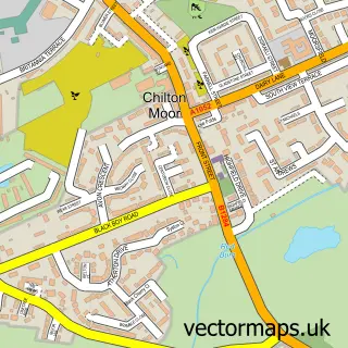
Nearby street map samples around Penshaw

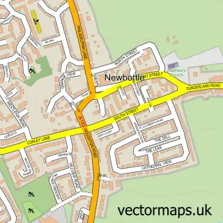
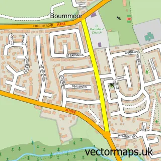
More street maps in Tyne & Wear
750 metre map area coverage
Boundary, postcode and point of interest information for the 750m x 750m rectangle centred on this sample map.
Boundaries containing map centre
Constituency: Houghton and Sunderland South Co Const
District: Sunderland District (B)
Icb: NHS North East and North Cumbria ICB
Police Force: northumberland
Postcode District: DH4
Postcode Sector: DH4 7
Ward: Shiney Row Ward
Nearby boundaries intersecting sample
Constituency: Washington and Gateshead South Boro Const
Ward: Washington East Ward
Postcode coverage
POI category counts
Acupuncture: 2
Chinese Restaurant: 2
Elementary School: 2
Fish And Chips Restaurant: 2
Funeral Services And Cemeteries: 2
Pest Control Service: 2
School: 2
Assisted Living Facility: 1
Atms: 1
Bakery: 1
Sample points of interest
- Holistically for You
- Holistically4U Acupuncture Penshaw Durham & Sunderland
- West Lodge
- The Cooperative Food Penshaw, Coxgreen Road, PENSHAW
- Marshall's The Bakers
- ROOTS unisex salon 01919082912
- Aurora Tanning & Beauty
- Timbermate UK
- Monument Roofing & Building
- Panda Chef
- Peach Garden Chinese Take Away
- Penshaw Community Association
Create a larger editable map of Penshaw
This sample shows only a 750 metre area. To create a larger map of Penshaw, use our map builder to choose your own coverage area, add titles and download editable SVG, PDF and PNG files.
Create a custom map of Penshaw