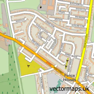
This New Herrington street map is a detailed vector street map covering a 750m x 750m area. Select a larger area to create and download your own vector street map of New Herrington.
The 750-metre map sample for New Herrington covers 135 mapped buildings and approximately 8.0 km of road detail, of which 6 named roads are named. The immediate area includes 5 GP surgeries within 2 miles and 1 MOT station, with 12 within 2 miles. To create a larger or custom map of New Herrington, the map builder lets you define your own coverage area and download editable SVG, PDF and PNG files.
Create a larger editable map of New Herrington
Choose any area you need and generate a high-quality vector map instantly. Perfect for print, planning, design, business and personal use.

This New Herrington street map in Tyne & Wear is available as downloadable SVG, PDF and PNG map files, or as a printed map for planning, business, display, education, local information and design work. You can also create a larger custom map area using the map selector.
What this New Herrington map sample shows
New Herrington lies within Sunderland District (B) parish, part of Shiney Row ward in the Sunderland District (B) local authority area. The postcode geography for this area includes the DH postcode area, the DH4 postcode district and the DH4 4 postcode sector. Residents fall under the Nhs North East And North Cumbria Integrated Care Board for NHS services.
Local features near New Herrington
Within 2 milesAmenities and services in and around New Herrington.
Administrative and postcode information for New Herrington
New Herrington lies within Sunderland District (B) parish, part of Shiney Row ward in the Sunderland District (B) local authority area. The postcode geography for this area includes the DH postcode area, the DH4 postcode district and the DH4 4 postcode sector. Residents fall under the Nhs North East And North Cumbria Integrated Care Board for NHS services.
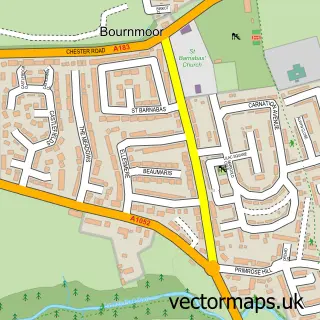
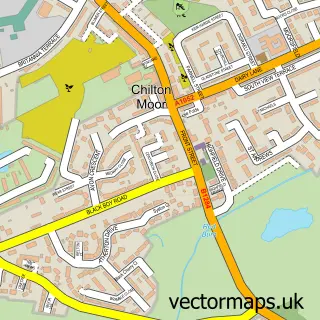
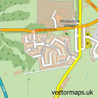
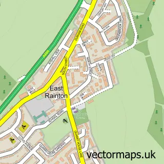
Nearby street map samples around New Herrington


More street maps in Tyne & Wear
750 metre map area coverage
Boundary, postcode and point of interest information for the 750m x 750m rectangle centred on this sample map.
Boundaries containing map centre
Constituency: Houghton and Sunderland South Co Const
District: Sunderland District (B)
Icb: NHS North East and North Cumbria ICB
Police Force: northumberland
Postcode District: DH4
Postcode Sector: DH4 4
Ward: Shiney Row Ward
Nearby boundaries intersecting sample
Postcode Sector: DH4 7
Ward: Copt Hill Ward
Postcode coverage
POI category counts
Garbage Collection Service: 3
Automotive Repair: 2
Convenience Store: 2
Metal Supplier: 2
Active Life: 1
Appliance Manufacturer: 1
Barber: 1
Beauty Salon: 1
Building Supply Store: 1
Car Dealer: 1
Sample points of interest
- New Herrington Football Fields
- Gofer a G V 's
- DNS Auto Electrics
- New Herrington Car and Mot Centre
- Legendz Barberz Herrington
- The Bridge Hair Studio
- Fender Steel
- Washington Land Rovers
- Houghton-le-Spring Hand CarWash
- Magic Wok
- Specialized Blasting & Coatings Ltd
- Jai's Stores
Create a larger editable map of New Herrington
This sample shows only a 750 metre area. To create a larger map of New Herrington, use our map builder to choose your own coverage area, add titles and download editable SVG, PDF and PNG files.
Create a custom map of New Herrington