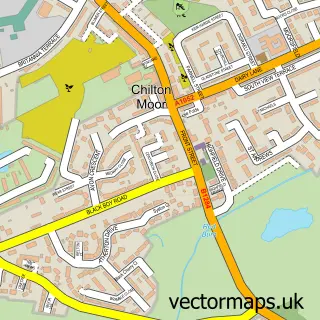
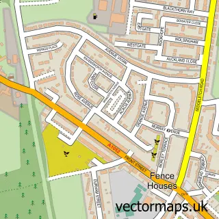
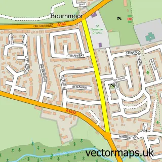
This Houghton-le-Spring street map is a detailed vector street map covering a 750m x 750m area. Select a larger area to create and download your own vector street map of Houghton-le-Spring.
The 750-metre map sample for Houghton-le-Spring covers 243 mapped buildings and approximately 23.6 km of road detail, of which 31 named roads are named. The immediate area includes 1 primary school and 1 secondary school, 1 GP surgery, with 4 within 2 miles, 4 pubs and 11 MOT stations within 2 miles. The wider area around Houghton-le-Spring features 3 tourism points of interest and 6 food and drink venues. To create a larger or custom map of Houghton-le-Spring, the map builder lets you define your own coverage area and download editable SVG, PDF and PNG files.
Create a larger editable map of Houghton-le-Spring
Choose any area you need and generate a high-quality vector map instantly. Perfect for print, planning, design, business and personal use.

This Houghton-le-Spring street map in Tyne & Wear is available as downloadable SVG, PDF and PNG map files, or as a printed map for planning, business, display, education, local information and design work. You can also create a larger custom map area using the map selector.
What this Houghton-le-Spring map sample shows
Houghton-le-Spring lies within Sunderland District (B) parish, part of Houghton ward in the Sunderland District (B) local authority area. The postcode geography for this area includes the DH postcode area, the DH4 postcode district and the DH4 5 postcode sector. Residents fall under the Nhs North East And North Cumbria Integrated Care Board for NHS services.
Local features near Houghton-le-Spring
Within 2 milesAmenities and services in and around Houghton-le-Spring.
Administrative and postcode information for Houghton-le-Spring
Houghton-le-Spring lies within Sunderland District (B) parish, part of Houghton ward in the Sunderland District (B) local authority area. The postcode geography for this area includes the DH postcode area, the DH4 postcode district and the DH4 5 postcode sector. Residents fall under the Nhs North East And North Cumbria Integrated Care Board for NHS services.
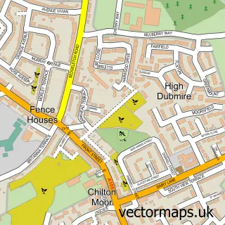
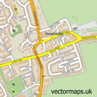
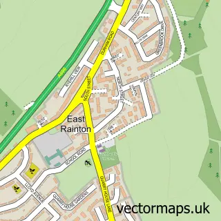
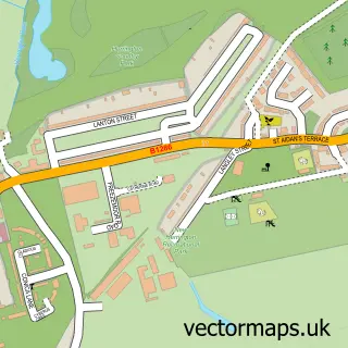
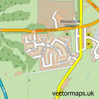
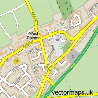
Nearby street map samples around Houghton-le-Spring

More street maps in Tyne & Wear
750 metre map area coverage
Boundary, postcode and point of interest information for the 750m x 750m rectangle centred on this sample map.
Boundaries containing map centre
Constituency: Houghton and Sunderland South Co Const
District: Sunderland District (B)
Icb: NHS North East and North Cumbria ICB
Police Force: northumberland
Postcode District: DH4
Postcode Sector: DH4 4
Ward: Copt Hill Ward
Nearby boundaries intersecting sample
Postcode District: DH5
Postcode Sector: DH4 5, DH5 8
Ward: Houghton Ward
Postcode coverage
POI category counts
Beauty Salon: 14
Professional Services: 6
Dentist: 5
Hair Salon: 5
Barber: 4
Church Cathedral: 4
Doctor: 4
Pub: 4
Real Estate Agent: 4
Bakery: 3
Sample points of interest
- Burn Promenade
- Cashpoint® 33 Newbottle Street
- AD Auto Parts
- Autostock
- The Burn Body Shop
- Blackberries Patisserie
- Greggs
- Peters Cathedral Bakers
- Lloyds Bank
- Barclays Bank
- Wetherspoons
- KJ BBQ House & Pizza
Create a larger editable map of Houghton-le-Spring
This sample shows only a 750 metre area. To create a larger map of Houghton-le-Spring, use our map builder to choose your own coverage area, add titles and download editable SVG, PDF and PNG files.
Create a custom map of Houghton-le-Spring