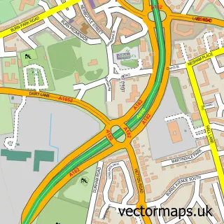
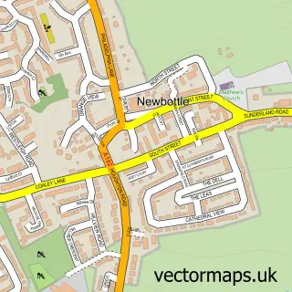
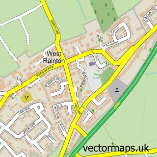
This High Dubmire street map is a detailed vector street map covering a 750m x 750m area. Select a larger area to create and download your own vector street map of High Dubmire.
The 750-metre map sample for High Dubmire covers 444 mapped buildings and approximately 19.2 km of road detail, of which 38 named roads are named. The immediate area includes 1 school, 6 GP surgeries within 2 miles, 1 pub and 12 MOT stations within 2 miles. The wider area around High Dubmire features 2 tourism points of interest and 3 food and drink venues. To create a larger or custom map of High Dubmire, the map builder lets you define your own coverage area and download editable SVG, PDF and PNG files.
Create a larger editable map of High Dubmire
Choose any area you need and generate a high-quality vector map instantly. Perfect for print, planning, design, business and personal use.

This High Dubmire street map in Tyne & Wear is available as downloadable SVG, PDF and PNG map files, or as a printed map for planning, business, display, education, local information and design work. You can also create a larger custom map area using the map selector.
What this High Dubmire map sample shows
High Dubmire lies within Sunderland District (B) parish, part of Houghton ward in the Sunderland District (B) local authority area. The postcode geography for this area includes the DH postcode area, the DH4 postcode district and the DH4 5 postcode sector. Residents fall under the Nhs North East And North Cumbria Integrated Care Board for NHS services.
Local features near High Dubmire
Within 2 milesAmenities and services in and around High Dubmire.
Administrative and postcode information for High Dubmire
The local authority covering High Dubmire is Sunderland District (B), within the county of Tyne & Wear. The settlement lies within Houghton ward and Sunderland District (B) civil parish. The DH4 postcode district and DH4 5 postcode sector serve the immediate area. NHS provision in the area is delivered through South Tyneside And Sunderland Nhs Foundation Trust.
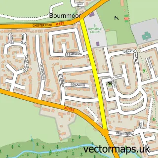
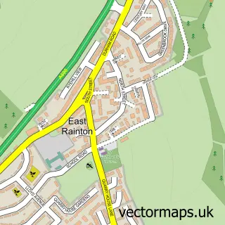
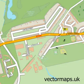
Nearby street map samples around High Dubmire

More street maps in Tyne & Wear
750 metre map area coverage
Boundary, postcode and point of interest information for the 750m x 750m rectangle centred on this sample map.
Boundaries containing map centre
Constituency: Houghton and Sunderland South Co Const
District: Sunderland District (B)
Icb: NHS North East and North Cumbria ICB
Police Force: northumberland
Postcode District: DH4
Postcode Sector: DH4 6
Ward: Houghton Ward
Nearby boundaries intersecting sample
Postcode Sector: DH4 5
Postcode coverage
POI category counts
Beauty Salon: 5
Convenience Store: 4
Accountant: 3
Bar: 3
Building Supply Store: 3
Gas Station: 3
Pizza Restaurant: 3
Assisted Living Facility: 2
Bakery: 2
Barber: 2
Sample points of interest
- N G J Bookkeeping & Payroll Ltd.
- NGJ Bookkeeping and Payroll
- Ngj Bookkeeping & Payroll Ltd.
- Handz on Massage Therapy
- Greenbank House
- Pavillion Residential And Nursing Home - Sanctuary Care
- Bluespark Automotive
- The Car Safety Centre
- Edinburgh Bakery
- Edinburgh Bakery
- Balloons & Beyond
- Dubmire British Legion Social Club
Create a larger editable map of High Dubmire
This sample shows only a 750 metre area. To create a larger map of High Dubmire, use our map builder to choose your own coverage area, add titles and download editable SVG, PDF and PNG files.
Create a custom map of High Dubmire