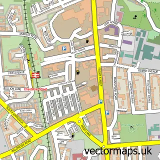
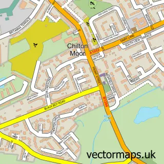
This Bournmoor street map is a detailed vector street map covering a 750m x 750m area. Select a larger area to create and download your own vector street map of Bournmoor.
The 750-metre map sample for Bournmoor covers 337 mapped buildings and approximately 16.9 km of road detail, of which 13 named roads are named. The immediate area includes 1 school, 6 GP surgeries within 2 miles, 1 pub and 11 MOT stations within 2 miles. The wider area around Bournmoor features 1 food and drink venue. To create a larger or custom map of Bournmoor, the map builder lets you define your own coverage area and download editable SVG, PDF and PNG files.
Create a larger editable map of Bournmoor
Choose any area you need and generate a high-quality vector map instantly. Perfect for print, planning, design, business and personal use.

This Bournmoor street map in Durham is available as downloadable SVG, PDF and PNG map files, or as a printed map for planning, business, display, education, local information and design work. You can also create a larger custom map area using the map selector.
What this Bournmoor map sample shows
Bournmoor lies within Bournmoor Cp parish, part of Lumley ward in the County Durham local authority area. The postcode geography for this area includes the DH postcode area, the DH4 postcode district and the DH4 6 postcode sector. Residents fall under the Nhs North East And North Cumbria Integrated Care Board for NHS services.
Local features near Bournmoor
Within 2 milesAmenities and services in and around Bournmoor.
Administrative and postcode information for Bournmoor
The local authority covering Bournmoor is County Durham, within the county of Durham. The settlement lies within Lumley ward and Bournmoor Cp civil parish. The DH4 postcode district and DH4 6 postcode sector serve the immediate area. NHS provision in the area is delivered through County Durham And Darlington Nhs Foundation Trust.
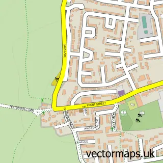
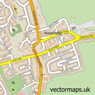
Nearby street map samples around Bournmoor


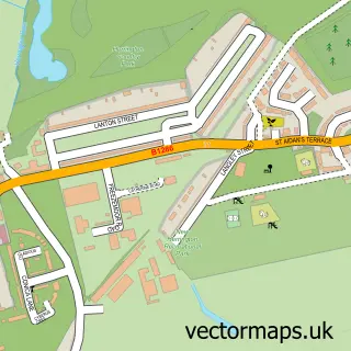
More street maps in Durham
750 metre map area coverage
Boundary, postcode and point of interest information for the 750m x 750m rectangle centred on this sample map.
Boundaries containing map centre
Constituency: North Durham Co Const
District: County Durham
Icb: NHS North East and North Cumbria ICB
Parish: Bournmoor CP
Police Force: durham
Postcode District: DH4
Postcode Sector: DH4 6
Nearby boundaries intersecting sample
Parish: Little Lumley CP
Postcode coverage
POI category counts
Automotive Repair: 2
Taxi Service: 2
Anglican Church: 1
Barbecue Restaurant: 1
Building Supply Store: 1
Business Management Services: 1
Church Cathedral: 1
Community Center: 1
Elementary School: 1
Fast Food Restaurant: 1
Sample points of interest
- St Barnabas' Church, Burnmoor
- Wheel Wizard
- Wheel Wizard
- KYA Pizza
- Every Season Pest Control
- Pro-Spec Engineering Inspections Ltd.
- St Barnabas' Church
- St. Barnabas’ Community Centre
- Bournmoor Primary School
- Ocean View Chinese Takeaway
- Soccer Stars Academy Durham & Sunderland
- KYA Pizza
Create a larger editable map of Bournmoor
This sample shows only a 750 metre area. To create a larger map of Bournmoor, use our map builder to choose your own coverage area, add titles and download editable SVG, PDF and PNG files.
Create a custom map of Bournmoor