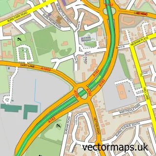
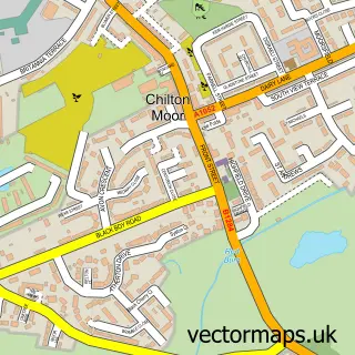
This Newbottle street map is a detailed vector street map covering a 750m x 750m area. Select a larger area to create and download your own vector street map of Newbottle.
The 750-metre map sample for Newbottle covers 358 mapped buildings and approximately 14.4 km of road detail, of which 36 named roads are named. The immediate area includes 1 school, 5 GP surgeries within 2 miles, 1 pub and 13 MOT stations within 2 miles. The wider area around Newbottle features 2 tourism points of interest, 1 food and drink venue and 1 hotel. To create a larger or custom map of Newbottle, the map builder lets you define your own coverage area and download editable SVG, PDF and PNG files.
Create a larger editable map of Newbottle
Choose any area you need and generate a high-quality vector map instantly. Perfect for print, planning, design, business and personal use.

This Newbottle street map in Tyne & Wear is available as downloadable SVG, PDF and PNG map files, or as a printed map for planning, business, display, education, local information and design work. You can also create a larger custom map area using the map selector.
What this Newbottle map sample shows
Newbottle lies within Sunderland District (B) parish, part of Houghton ward in the Sunderland District (B) local authority area. The postcode geography for this area includes the DH postcode area, the DH4 postcode district and the DH4 5 postcode sector. Residents fall under the Nhs North East And North Cumbria Integrated Care Board for NHS services.
Local features near Newbottle
Within 2 milesAmenities and services in and around Newbottle.
Administrative and postcode information for Newbottle
The local authority covering Newbottle is Sunderland District (B), within the county of Tyne & Wear. The settlement lies within Houghton ward and Sunderland District (B) civil parish. The DH4 postcode district and DH4 5 postcode sector serve the immediate area. NHS provision in the area is delivered through South Tyneside And Sunderland Nhs Foundation Trust.
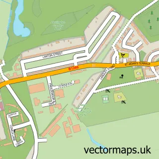
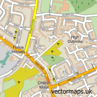
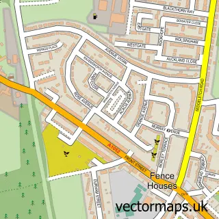
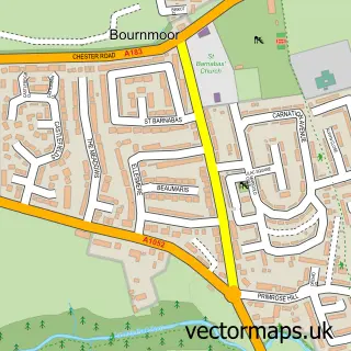
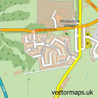
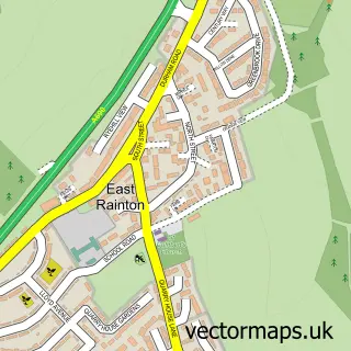
Nearby street map samples around Newbottle


More street maps in Tyne & Wear
750 metre map area coverage
Boundary, postcode and point of interest information for the 750m x 750m rectangle centred on this sample map.
Boundaries containing map centre
Constituency: Houghton and Sunderland South Co Const
District: Sunderland District (B)
Icb: NHS North East and North Cumbria ICB
Police Force: northumberland
Postcode District: DH4
Postcode Sector: DH4 4
Ward: Copt Hill Ward
Nearby boundaries intersecting sample
Postcode Sector: DH4 5
Ward: Houghton Ward
Postcode coverage
POI category counts
Automotive Repair: 3
Italian Restaurant: 3
Assisted Living Facility: 2
Beauty Salon: 2
Building Supply Store: 2
Church Cathedral: 2
Anglican Church: 1
Appliance Repair Service: 1
Business Manufacturing And Supply: 1
Carpet Store: 1
Sample points of interest
- St Matthew's Church
- Davison's Domestic Repairs
- Adey Gardens Care Home
- Ashlea Grange
- K B Tyres N E
- KB Tyres (N.E) MOT Centre Class 1, Class 2, Class 4 & Class 7 Ltd
- Kb Tyres
- Changes unisex hair and beauty
- Serendipity Mobile Beauty Therapy
- Brick Doctor UK
- C.L Burroughs Window Cleaning
- Allendor Garage Doors
Create a larger editable map of Newbottle
This sample shows only a 750 metre area. To create a larger map of Newbottle, use our map builder to choose your own coverage area, add titles and download editable SVG, PDF and PNG files.
Create a custom map of Newbottle