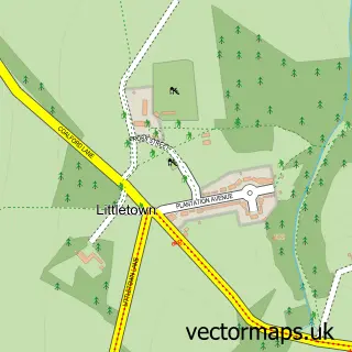
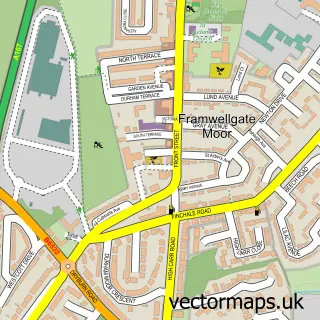
This Carrville street map is a detailed vector street map covering a 750m x 750m area. Select a larger area to create and download your own vector street map of Carrville.
The 750-metre map sample for Carrville covers 531 mapped buildings and approximately 24.6 km of road detail, of which 37 named roads are named. The immediate area includes 4 GP surgeries within 2 miles, 1 pub and 1 MOT station, with 12 within 2 miles. The wider area around Carrville features 1 tourism point of interest, 2 food and drink venues and 1 hotel. To create a larger or custom map of Carrville, the map builder lets you define your own coverage area and download editable SVG, PDF and PNG files.
Create a larger editable map of Carrville
Choose any area you need and generate a high-quality vector map instantly. Perfect for print, planning, design, business and personal use.

This Carrville street map in Durham is available as downloadable SVG, PDF and PNG map files, or as a printed map for planning, business, display, education, local information and design work. You can also create a larger custom map area using the map selector.
What this Carrville map sample shows
Carrville lies within Belmont Cp parish, part of Belmont ward in the County Durham local authority area. The postcode geography for this area includes the DH postcode area, the DH1 postcode district and the DH1 2 postcode sector. Residents fall under the Nhs North East And North Cumbria Integrated Care Board for NHS services.
Local features near Carrville
Within 2 milesAmenities and services in and around Carrville.
Administrative and postcode information for Carrville
Carrville lies within Belmont Cp parish, part of Belmont ward in the County Durham local authority area. The postcode geography for this area includes the DH postcode area, the DH1 postcode district and the DH1 2 postcode sector. Residents fall under the Nhs North East And North Cumbria Integrated Care Board for NHS services.
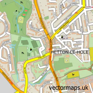
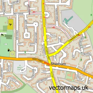
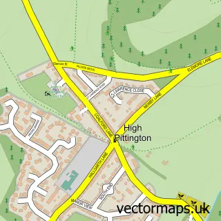
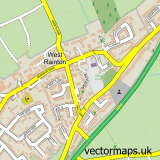
Nearby street map samples around Carrville

More street maps in Durham
750 metre map area coverage
Boundary, postcode and point of interest information for the 750m x 750m rectangle centred on this sample map.
Boundaries containing map centre
Constituency: City of Durham Co Const
District: County Durham
Icb: NHS North East and North Cumbria ICB
Parish: Belmont CP
Police Force: durham
Postcode District: DH1
Postcode Sector: DH1 1
Nearby boundaries intersecting sample
Postcode Sector: DH1 2
Postcode coverage
POI category counts
Beauty Salon: 10
Clothing Store: 6
Beauty And Spa: 5
Contractor: 5
Flowers And Gifts Shop: 4
Hair Salon: 4
Physical Therapy: 3
Professional Services: 3
Automotive: 2
Bar: 2
Sample points of interest
- Herbal Inn
- Cheveley House
- ATM (Post Office)
- kepier Forest Durham
- Ford
- Bristol Street Motors Ford Durham
- Holiways Ltd.
- HDY Logistics ltd
- Belmont Bar B CWC
- Daaba
- Rum Razor Barbershop
- Sam Barber
Create a larger editable map of Carrville
This sample shows only a 750 metre area. To create a larger map of Carrville, use our map builder to choose your own coverage area, add titles and download editable SVG, PDF and PNG files.
Create a custom map of Carrville